and occasionally rides a bike.
A word of warning. The walk descriptions are not detailed enough to guide you - please take a map. The batteries never run out, and you always have a signal. Oh, And don't take left or right as gospel!

Thursday, January 29, 2015

Lubenham to Harborough via the Judith Stone.

With Gordon and Maureen. A fine, very cold morning. Some muddy sections. Around five miles (estimate).
We covered  the same ground as this walk from November, but in reverse.  I found my way to the Stone more easily this time.

We started from Rushes Lane, heading towards the Tower House and the church, then past the Verger's Cottage and Eden House, with its A-frame and cruck beams. 
We crossed School Lane into Old Hall Lane, and took the footpath to the right shortly before the road bends left. The path is fenced off here and crosses the Welland, then the minor road to East Farndon, before heading slightly uphill across a field, through the hedge, then alongside the hedge of two fields. In the second of these fields is the Judith Stone, easy to see today in the ridged and furrowed field, especially since there were no sheep to distract us.


 The Judith Stone was probably deposited by a glacier and in the 11th and 12th centuries was a boundary marker for the estate of Countess Judith, a niece of William the Conqueror.
We walked back to the lower edge of the field and decided to turn left along the bridleway which leads to Harborough, since most paths promised to be a little muddy. The bridleway was not an exception. 
It crossed the Lubenham road and grew even muddier, with giant tractor tracks. They were cutting back the hedges today. At the end of the bridleway is a new housing development. We turned left just before it and found our way across a ditch and then walked with the Welland on our left. When the river met the disused railway we turned right parallel to the embankment. The footpath soon turned left under a bridge and we walked along the path between houses until it came out on Welland Park Road. We turned right, then left at the mini roundabout, crossing over to the entrance to Welland Park.  The information board about the Battle of Naseby is worth looking at too.

 We were pleased to find the park cafe open, and stopped for a coffee and snack, before making our way back to Lubenham. We walked along Coventry Road for a while, turning right into Gardiner Street, then taking the public footpath to the left to Brookfield Road. At Brookfield Road we turned left then into Spinney Close and picked up the footpath to Lubenham. This is a permissive path leading straight uphill through a field, then down on the other side to the main road. There are wide views from the top.  
Snow on its way?

Looking back to Harborough

and down to the main road and Lubenham
 The path comes out at the A4304, and continues on the other side, a little to the right. It is clearly marked as it makes its way back to Lubenham and Old Hall Lane.
Part of a moat by the footpath 
 We walked back past the church and saw the double railway bridge with the lower carriageway on one side for laden farm carts. A short distance further took us to the moat at Thorpe Lubenham Hall.
The (different) moat near Thorpe Lubenham Hall

Signs of spring?
 Finally we walked back along Rushes Lane to the car.  A few drops of sleety rain didn't last long.
The Tower House

Wednesday, January 28, 2015

Around Deeping St James

Walk done January 27 2015, starting at about 10.30am.

Marta and I continue to explore the Welland. Our initial hope was that we might reach Crowland, but we decided to take things a little easier. 
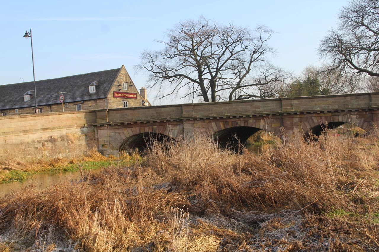
Our first problem was the route. We were not sure how far along the left bank of the Welland we could walk, and wanted to avoid any road walking, since the road concerned is a typical fenland road. It's pretty straight and tempts people to speed.  In fact it is possible to walk along the high bank, and beside it, but underfoot it was a little soft which made it harder going. On the way back the wind was in our faces too.
We parked at a space used by local dog-walkers, just after Deeping St James, where the road bends sharply to the left.  
I picked some local brains first, a couple who were looking for the seal which has been seen during the last few days in the river. They hadn't seen it, but recommended the walk anyway. 

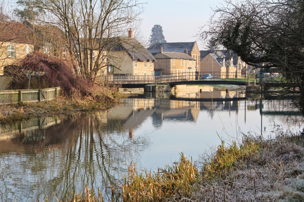
The first half mile or so follows the Welland south east, along a tarmac private road, with Deeping Lakes Nature Reserve on the left, and the river on our right.

A glimpse of one of the lakes through the trees
The path goes under the mainline railway, and the river soon joins Maxey Cut, and becomes a more serious-looking ruler straight river, with raised banks. It flows northeast.
Where the waters join there was a little egret

Cropped.
Soon after turning the corner we found the entrance to the nature reserve - our plan at present is not miles under boots, but exploration, so in we went.
A group of children with teachers were visiting, and we stopped to chat - they'd seen herons, little egrets and also a long-eared owl, which often visits the reserve at this time of year. We hied us to the hide to try to spot the bird, but without binoculars we couldn't be sure. Our luck was in, as a group of birdwatchers with telescopes arrived.
At first we thought the white blob was the owl - no it was one of those pigeons pretending again. In fact the owl is in the photo, towards the top right.

The best I could get at the time, but we did have a peer through a telescope - a beautiful bird.
We left the reserve and continued towards Crowland.
The nature reserve

Lots of geese


Crowland Abbey in the distance


We walked a couple of miles or so along the river, then decided to turn back, and leave Crowland for a more leisurely exploration in future.  
Altogether we walked about eight miles today. In case you're wondering, we didn't see the seal either.

Map and details

Tuesday, January 27, 2015

Market Deeping circular

With Gordon and Maureen. This is the same walk as on Jan 20, without the extra section from Deeping St James. About 7 miles. The weather was less sparkling, but warmer.


Molecey's Mill

We left Market Deeping market square, along Stamford Road, walking on the right hand side path.
At the big roundabout we continued in the same direction, over Greatford Cut, and past Molecey's Mill which is on the other side. 
About 100 meters past the mill, we crossed the road and followed a footpath, between a hedge and a fence to a small river, which may be the route of the old Stamford Canal. After about a mile and a quarter we arrived at West Deeping. The path turns right just before a bridge over the river, and continues down The Lane, coming out near the Red Lion.
We turned right and walked past The Boaty, as far as Church Lane, where we turned left past the Church and West Deeping Mill and walked alongside the mill stream for a while, before turning back.
Behind the church in West Deeping
We went back along Church Lane, turned right at the junction and crossed the double bridge over the Welland. A few yards beyond this we took a footpath to the left into the meadows next to the river. A clear path along the river took us to another arm of the river. We followed the bank left to Maxey Sluice and the mill.
Old sluice gate machinery at Maxey Mill

Mill with snowdrops

Just after the mill we reached the road, and turned left. Our path left the road on the left a few yards further on. From here it was simply a question of following the river (now on our left). It goes under the A16, and comes out at the Old Market Deeping Bridge.
Behnd Molecey's Water Mill, I think
We turned right and followed the footpath over a couple of fields and behind some houses until it rejoined the river. We walked past the High Locks as far as the bridge in Deeping St James, before returning to Market Deeping.
Towards West Deeping

Ménage à trois?

Ménage à six?

The start of the canal

Deeping St James Bridge


Mooring stone

Map and details

Thursday, January 22, 2015

Burghley House to Stamford via Stamford Canal

Thu, 2015 Jan 22 9:43 AM GMT.
With Maureen. Dry day, no wind, cloudy, good underfoot. About 8 miles in all.

This is the same route as my walk on 5 January, with an extra couple of miles added along the river after the bridge near Uffington. Worth the detour for the heron, two little egrets and swans. 

We set off from the car park at Burghley House, followed the drive down to the entrance gate and turned right along the roadside footpath. When we reached the bend near the Dingle, we crossed over and followed the footpath down the track to the left of the Dingle, then to the right, round the edge of the field and across the railway line. Then we crossed another field and met the path along the raised river bank, and through a gate to the road.

Instead of turning left over the bridge we went straight on following the river until the way was blocked by a gate. 


We retraced our steps to the road, went over the bridge, and took the footpath immediately afterwards on our left, along the route of the Stamford Canal. 
 The pleasant level path led us towards Stamford, turning left at a footbridge and through meadows towards the mill. 
 These two seem to have the field to themselves.
 At the mill we glanced at the mosaic croc, and took a brief wander over the bridge, before returning to the bridleway and up to the Uffington Road. We walked along Priory Lane.

We'd had our break beside the old canal bed, so didn't hang around the Priory for long.
 Another historical snippet from Stamford.
After the main car park we turned left and crossed Albert Bridge, and turned left beside the river, followed the road as it bent to the right, then crossed over to the pedestrian entrance to Burghley Park. 
 We had sandwiches and a coffee in the Orangery, then made our way home.
Clock in the Orangery


Tuesday, January 20, 2015

The Welland through the Deepings

Tue, 2015 Jan 20 10:04 AM GMT
With Marta, exploring the Welland on a frosty bright day. Good underfoot, v little wind. Lunch at Lily's tearoom in Mkt Deeping. I reckon just over 10 miles.

We used a leaflet produced by Lincs County Council as the basis for the walk, starting at West Deeping, first going over the bridge near West Deeping church, then along the Welland to Maxey Mill and Market Deeping. We added an extra couple of miles from Market Deeping to Deeping St James, then returned to Market Deeping for lunch before completing the walk via Molecey Mill and the probable route of the Stamford Canal.

West Deeping church


Maxey Mill


Maxey Mill


Approaching Market Deeping


Towards Deeping St James


Fisher-figure in a landscape


Long time since I've seen that road sign!


Clock in Lilli's tearoom


Market Deeping Market place

Greatford Cut

Back towards West Deeping