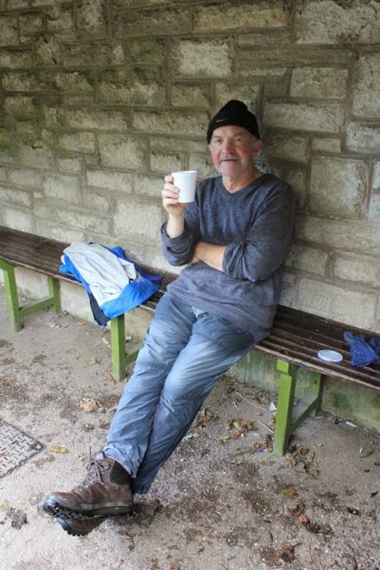
and occasionally rides a bike.
A word of warning. The walk descriptions are not detailed enough to guide you - please take a map. The batteries never run out, and you always have a signal. Oh, And don't take left or right as gospel!

Showing posts with label Milldale. Show all posts

Wednesday, October 16, 2013

Three Derbyshire walks

Carsington Water - 8.5 miles - Sunday 13 October


RAF Quadrant Tower from the 1940s

The weather was pretty wet all morning, but we decided to risk a soaking. At least the track is clear and well marked.
Much of the way is slightly sheltered by trees, but they didn't keep us anything like dry.


Hansel and Gretel house near the dam


The sky lightened slightly at about 2:30 pm, and we dried out before having a large tea and scone in the Mainsail restaurant in the visitor centre.
A good walk, at a brisk pace, with no navigational skills required - just as well, since my map was old enough to predate the reservoir!

Hartington to Milldale and back - 9.5 miles - Monday 14 October

This is part of a walk I did last summer, in much drier conditions.
Once again the way is clear all along, and well signed, though we had to cross from Derbyshire to Staffordshire and back - footbridges over the Dove.

The first section crosses fields from the path between the pottery shop and the toilets in Hartington, then heads through Morson Wood into Beresford Dale, with its caves and grassy hillsides.


  Next is Wolfscote Dale, which narrows a little.  We emerge at the road to Alstonfield, half a mile from Milldale village, and the joy of finding Polly's Cottage open, serving hot coffees.  There are public toilets, and a shelter, as well as the Information Barn near Viator's Bridge.

We waited for the worst of the downpour to be over, before retracing our steps to Hartington.


The tea shop in the Post Office was our next stop!

Dovedale to Milldale and back - 6 miles - Tuesday 15 October

At last some blue sky!

Chaffinch at Lovers' Leap

The arch near Reynard's Cave

Lion's Head Rock

Ilam Rock

Polly's Cottage, Milldale

Robin on mossy wall

Lovers' Leap


Stepping Stones

Looking upstream
 Even though we have to return home today, we make the most of this by walking from Dovedale car park, and heading north to Milldale.  It's just three miles, and passes the stepping stones below Thorpe Cloud, lovers' Leap, Reynard's Cave,  Tissington Spires, Lion's Head Rock, Ilam Rock and Dove Holes.   Another coffee stop at Milldale, and we buy sandwiches for later.

This time we sit and watch the ducks by the river.  There's a robin perching on a mossy wall by a holiday cottage.

On the way we've seen a heron, dippers, a chaffinch, crows and squirrels.

We eat our lunch at the stepping stones, decide that today is not a Thorpe Cloud day, and make our way back to the car park.

Tuesday, August 14, 2012

Hartington to Dovedale ,via Thorpe Cloud

With Maureen, Barry and Gordon. Eddie, in spite of his back, climbed Thorpe Cloud, but not via the path. Glorious weather.  8.5 miles for the whole thing.

The start of the walk is in Hartington,  at the side of the public toilets, on the Hulme End side of, and across the road from, the Charles Cotton Hotel. 

The walk is clearly marked at the start, and once you arrive in Beresford Dale it is simply a matter of walking the well-worn path beside the river.
You go through a section of youngish woodland, Morson Wood, which was planted by Les Morson and family in 1994. The plaque with this information was presented by the 1998 Hartington Sports Committee in memory of Les.   My photo was out of focus, hence this paragraph.

As we walked along there were several footbridges over the Dove, some leading to footpaths, some to private land. Wonderful names like " Frank-i-th-rocks bridge" and "Gipsy Bank bridge". Scenery delightful - mainly wooded slopes and grassland.

Just before the villlage of Milldale we came to a bridge over the river - the road to Alstonfield goes uphill to the right and the Milldale road carries straight on.

We took the Milldale road, which has a footpath alongside, and goes closer to the river for a short time.  We decided to take a break at Milldale and support the local shop - always a welcome oasis for hungry and thirsty walkers.  Even after last night's meal, a couple of cheese and onion sandwiches went down rather well. Okay, we had had breakfast as well, but we had walked almost five miles and there were more ahead.

After Milldale, Dovedale begins to show its "little Switzerland" side, with the limestone rocks and more dramatic scenery.  The Dove Holes caves, Ilam Rock, Tissington Spires, Lion's Head Rock, Reynard's Cave, up a bit to Lovers Leap and down and onward to the Stepping Stones. 


A heron perched very high above the river


Decision time - who's up for Thorpe Cloud?  A trickier ascent than I remember, and worse going down.  A dreadful path but worth it for the sense of achievement and the views.


We conquer the Cloud


All that remained was an essential dipping of my bare feet into the river, a welcome cereal bar provided by Maureen,  and the half mile or so saunter to the car park.  One last ice-cream and we headed for home.
This poster is in fact of Millers Dale (not Dovedale or Milldale).

Map and details - the elevation profile of this walk is interesting. Compare to yesterday's walk as well. Even Thorpe Cloud summit is lower than the walk we did along the Tissington and High Peak Trails!

Dry stone Walls in Derbyshire - a brief history of the walls and enclosures in the county.

Monday, February 20, 2012

Milldale to Tissington and back

With Harry. Cloudy and drizzly to start with, then cloud lifted.  Muddy in places. just under 8 miles.


Cross Viator's Bridge out of Milldale village, and follow the steep path up to the left, signposted Tissington.
The path climbed up quite steeply, but the usual zig-zag path wasn't too bad, nor too long!   At the top the signed route was fairly clear, though it turned muddy, and I think we may have taken a path slightly too far to the north of the route we intended. 
In any case, up a bit and down a bit, it led to the (unmarked) minor road to Tissington, just across the A515 Ashbourne to Buxton road. 
We walked into Tissington, as far as the Tissington Trial, but on a dankish Monday at 3pm nothing of interest (i.e. a coffee shop) seemed to be open, so we made our way back, following the same route mainly. The views were good, but not great - a little too misty, though the cloud did lift a little later in the walk.


Map and details

Sunday, February 19, 2012

Dovedale

From Milldale along the valley to the main car park at the Ilam end, and back.  With kids etc. Mainly Dan and Rose.  6 miles. There was snow/hail on the ground early on, which melted as the day went on. Cold wind in the shade, pleasant in the sun.


Early morning view from Milldale
The day before this, we saw a dipper, in classic surroundings on the rocks beside the water, and earlier a heron, close to the bridge and very confident that we couldn't approach too closely. Guess what? No camera on that occasion!