This walk contains part of last year’s walk in reverse.

From Whitsbury House Coach House at 10.40. Down the road opposite the gateway, towards Lower Farm, taking the footpath to the right leading slightly uphill through the soggy woods - plenty of mud and squelchiness.

We climbed up, then followed the bridleway along the edge of the woods, past a track leading to a church, which we didn’t visit. Fields of horses one labelled “Good morning, Olive”. This is part of the large stud farm.

At a junction just before the Manor House (according to the OS map) we turned right and went downhill as far as Lower Farm, where we turned left following bridleway signs. After a gate we turned right to another bridleway leading south eastish, marked as Long Steeple Lane on the map. When we reached a minor road (Roundhill Cross) we took a footpath to our left, diagonally and uphill over a field, emerging at Rookery Lane (Upper Street).


At the next road junction we turned left towards Breamore House, then following signs to the museum and farm shop (closed of course), then turning right and finding the track to Breamore church.

We visited this building last year - today we made use of the seats in the porch for a coffee and Guinness cake break at our 3.5 mile point.
It’s a lovely building, and the graveyard is huge.
We returned to the road, and headed towards the main A338 road - we decided to give the footpaths a miss - the are looked pretty soggy.

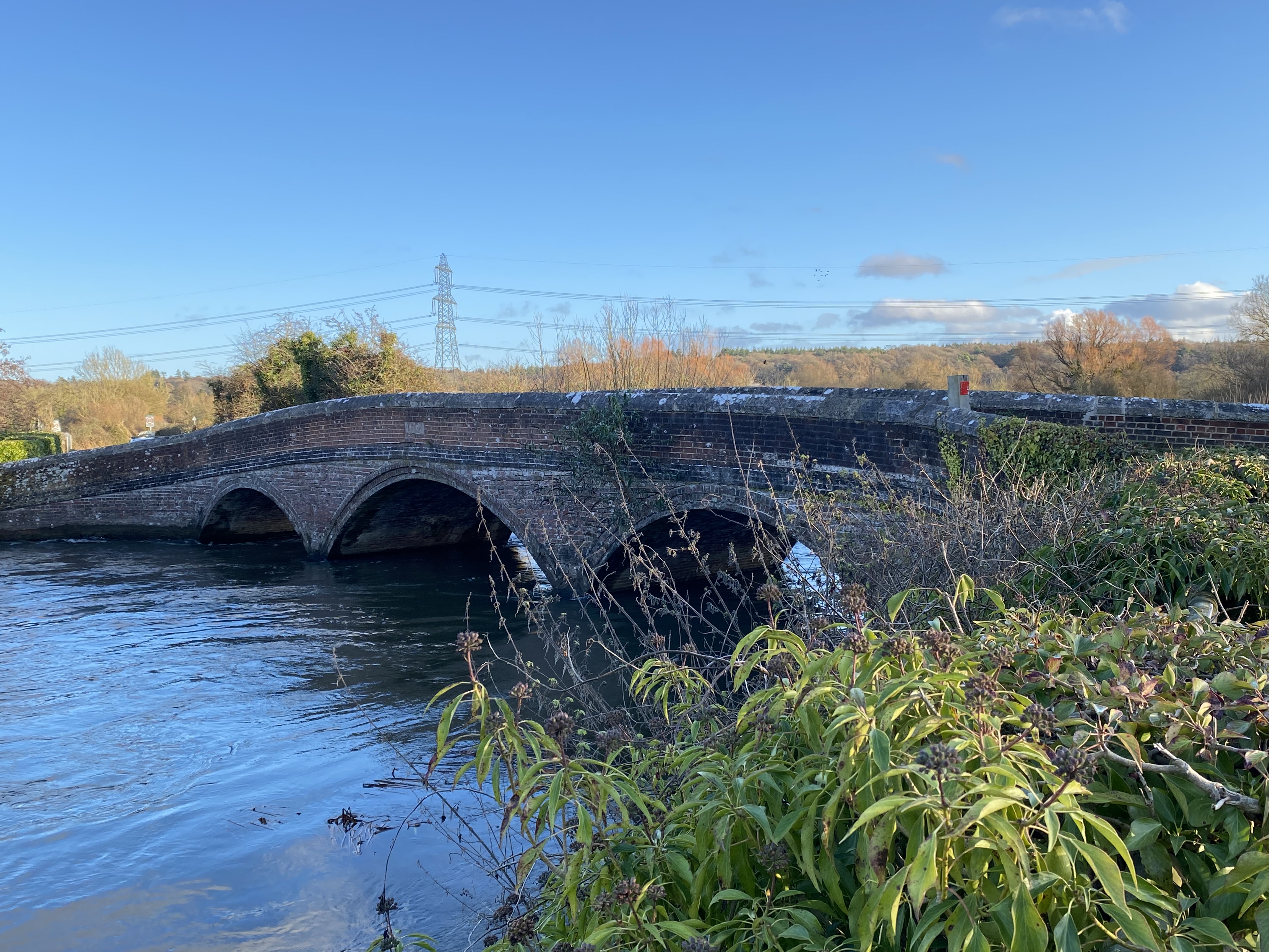
At the A338 we turned right and had a short walk alongside this busy road, past the Bat and Ball pub to the left turn to Woodgreen. There’s bridge over the dismantled railway line, then another over the mill stream, and one more over the main course of the Avon - looking very full this year.

As we come into Woodgreen, at the junction near the pub, we turn right and climb up to the right turn to Castle Hill. This road has parking spots and a great view over the river as it snakes its way along the valley.

We walk down through the woods and through Folds Farm, following the Avon Way, with several small bridges over small branches of the river - small, but once again, full. There’s plenty of mud and the puddles make me pleased I chose to wear wellies today. The last and widest bridge over the main river is a suspension footbridge, and you can feel its movement as you walk over it to reach Burgate Manor Farm.


At the main road (A338 again) we turn right for a short distance, then left to join a footpath through Lower Burgate, past some playing fields on the right, ignoring the right turn and on until we reach the minor road junction at Tinkers Cross.
There are new houses being built - by this time we needed more fuel, so found a couple of breeze blocks to use as seats, and had more coffee and the remains of the large chunk of cake. ( 8miles done by now).
We finished the walk with a gentle but consistent climb up the road to Whitsbury. The roadside offers mosses, fungi, and tongue and other ferns.

Back at base at 3 20 - we’ve done a good ten miles today, and there were 418 feet of ups and downs.