and occasionally rides a bike.
A word of warning. The walk descriptions are not detailed enough to guide you - please take a map. The batteries never run out, and you always have a signal. Oh, And don't take left or right as gospel!

Saturday, December 28, 2019

Boxing Day walk in Wellow

Thursday 26 December 2019.  With Harry - 7 miles along wet roads. 


This was the first really soggy day since  we came down. As Esther and family were visiting the other grandparents today, we decided on a walk to the church of St Margaret of Antioch, East Wellow, along roads. Any footpaths were certain to be very wet underfoot.

We knew about St Margaret's Church from a conversation with the husband of the minister of West Wellow Methodist church on Christmas morning.


We set off along Maury's Lane and past the Methodist church, then along Romsey Road, past Foxes Lane.  In normal weather this would have been a short cut. We continued past Carlo's Tearoom - closed of course, then turned left along Whinwhistle Road. 
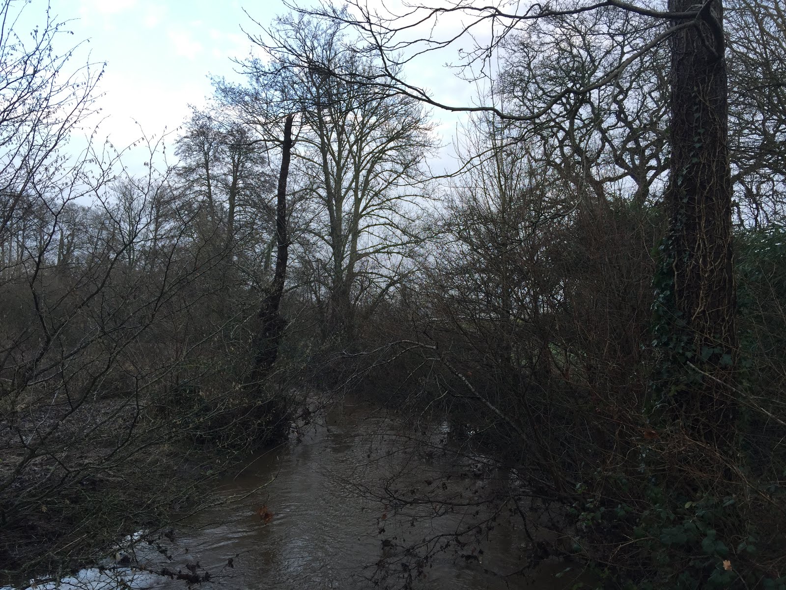
The road crosses the swollen Blackwater river, then becomes Woodlington Road. 
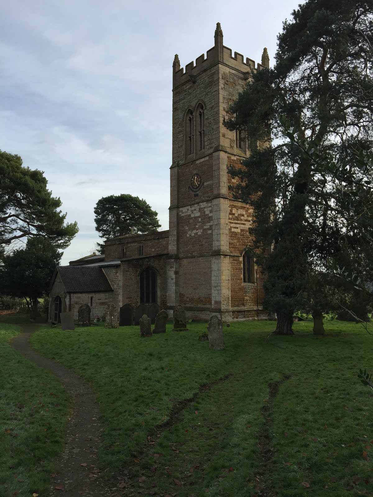
At Hackleys Lane we turned left and followed the road for around a mile as it turned sharply right, and passed Wellow Manor, before St Margaret's church was signposted to the left along an even smaller lane. A cul de sac with a house the church and the Church Rooms.

It was easy to find Florence Nightingale's grave.


It was still raining, so we took shelter in the church porch. 
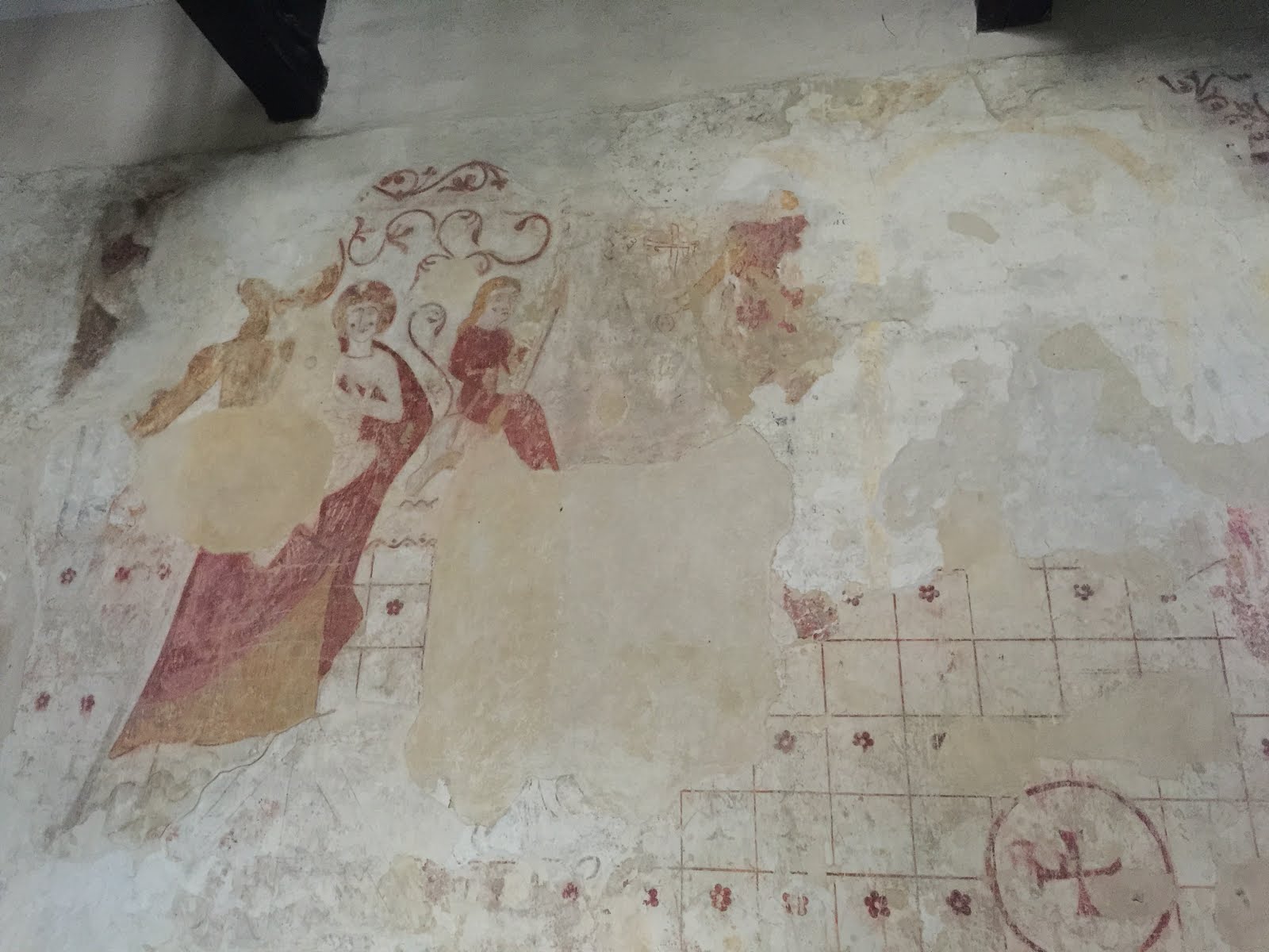
I tried the door and was delighted to find it open, and warm inside. The church dates from the 13th century and has a very old porch, and some medieval wall paintings, as well as a memorial window to Florence Nightingale.
The sky in the photo is deceptive - though it did stay dry from this point on.


We returned to Hackleys Lane, which was now called Broad Woods Lane. We followed it, didn't turn left at the road closed sign.
 This would have taken us back to Foxes Lane. Instead we  turned right and followed Dandy's Ford Lane as far as Wellow Drove.


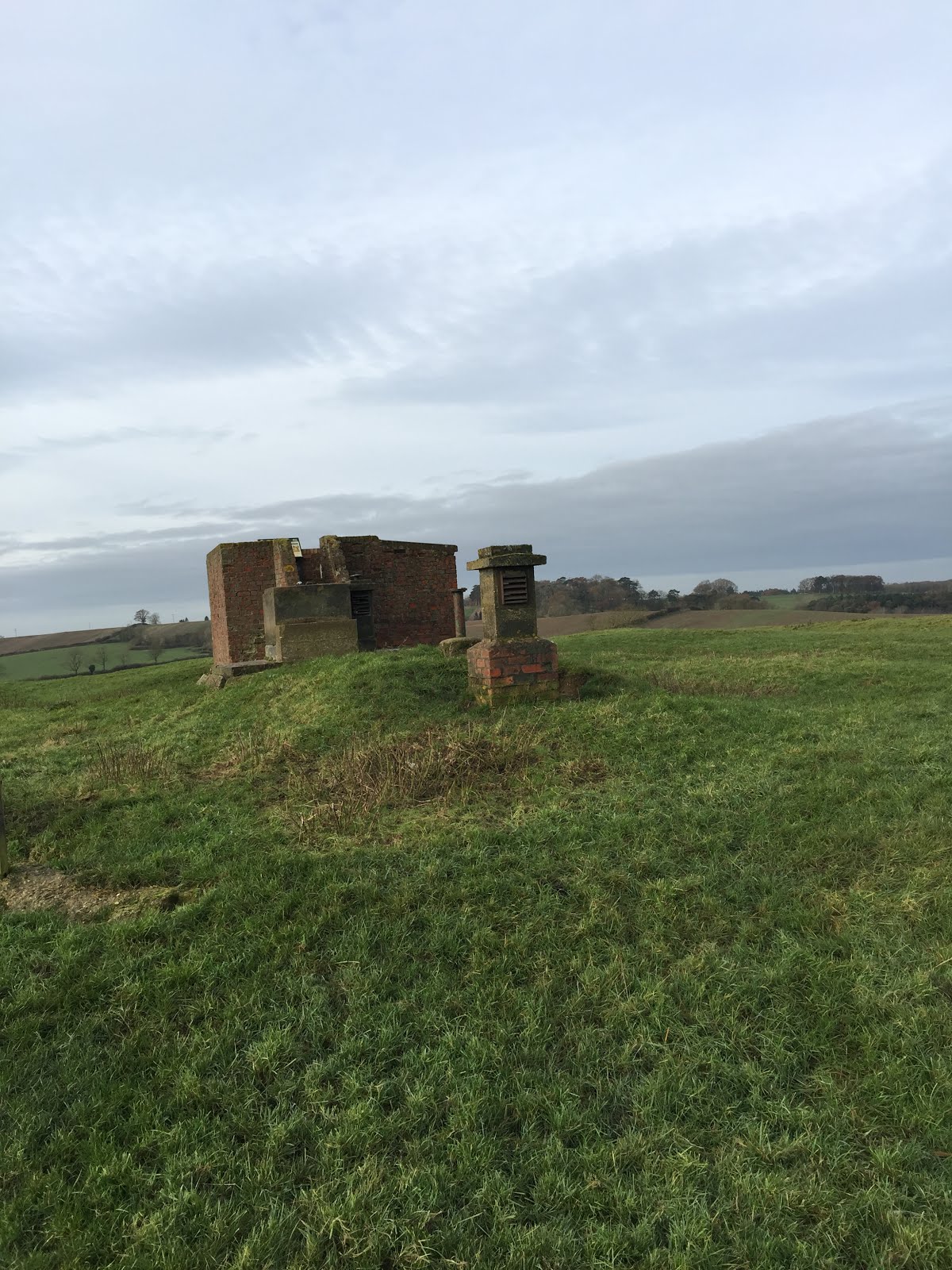
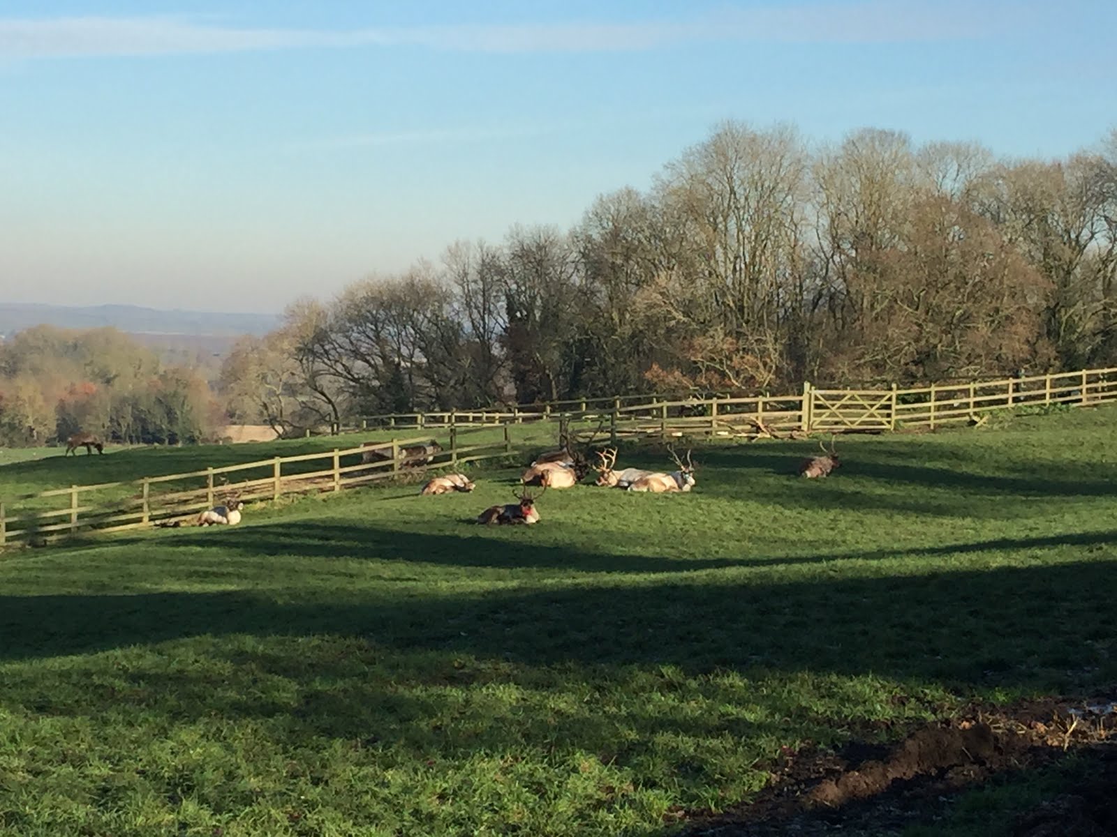
We turned left along Wellow Drove and at the T junction left again along Scallows Lane, past Sunrise farm, and a load of huts and poly tunnel frames.  

The road crossed the Blackwater river again at Tutts Bridge, then we headed along Tutts Lane back to the Methodist Church. slab Lane and return via Brookfields...just as the rain started again.


The mile counting app had stopped, so I restarted it part way through the walk.

Thursday, December 19, 2019

Tilton and Skeffington again

With Eddie.  Monday 16 December.


Church of St Thomas a Beckett, Skeffington

Colborough Hill and Whatborough Hill


Tuesday, December 10, 2019

Marston Trussell and Sibbertoft again

Monday 09 December, with Maureen and Eddie. 8 1/2 miles.

Exactly the same route as last Thursday, but no detour to the ROC observation post this time.
"The Lake" in Marston Trussell
.
Instead when we decided to shelter in Sibbertoft  church porch for our break, out of the biting wind, we were able to look inside, and talk to one of the local church "admin".
That's why the walk comes out longer in theory this time. Churches and old buildings with thick walls seem to affect GPS signals.


Between Clipston and Sibbertoft


Village sign


Bird carvings in the church

The thicker lines are when we were in the church.

A couple more observations about Sibbertoft - the river Welland has its source here, apparently under a patch of grass; and a Wellington bomber crashed nearby on 24th December 1941, killing all members of the Polish crew.


Friday, December 6, 2019

Marston Trussell- Sibbertoft circular, on minor roads.

Thursday 05 December, with Maureen. Just over 8 miles. It's almost the walk we did in March 2014, after a spell of wet weather, but today we didn't do the extra mile to include Clipston.


The walking was easy, and the frost had melted, though there were some muddy patches on these quiet roads. The whole area is where the very bloody battle of Naseby took place on 14 June 1645.

Marston Trussell church, the start and end of our walk.
We walked into the village and turned left at the junction, past the fishing lake.
 We followed the road round to the right past Marston Lodge, and continued, ignoring the small road to Sibbertoft. The road climbs steadily, but not steeply up to the ROC Viewpoint, just off the road to our right.

An information board gives details of the battle off Naseby. I'm convinced soldiers must have to be drunk in order to fight, and that this is one reason why they behaved so badly to the local people, especially the women.
\


At the T-junction we turned right, away from Clipston and towards Sibbertoft. We arrived at the church as eleven o'clock was striking. This has been a pleasant place for a break on several walks in the past - in spring the snowdrops are lovely, but of course, not in early December.

An unusual flower trough by the village sign.
We carried on past the church, ignoring a road to our right with the signpost to Marston Trussell.  Instead we headed downhill, with Hothorpe Hall in view. There is a small road off to our right, and we took this to reach Marston again.
it leads past the magnificent trees in the grounds of Marston Trussell Hall,

and back into the village.


Lunch at Farndon Fields farm shop cafe.

Monday, December 2, 2019

East Carlton to Pipewell airfield again.

Monday 02 December with Norma and Maureen. Almost 8 miles, with about 300 feet of ups and downs.  A very frosty start, with brilliant sunshine made conditions underfoot rather less soggy between East Carlton and Wilbarston today.


A slightly different route from Thursday
East Carlton church as we return
Almost finished
Elegant reindeer
Their kind of weather today
The castle is conquered
,

Thursday, November 28, 2019

East Carlton, Wilbarston and Desborough (Pipewell) airfield

Thursday 28 November, with Eddie and Maureen. Just over 8 miles. The weather forecast was for rain later in the day, but it didn't look promising. 

We decided on a change of plan, and took advantage of what dry weather there was by doing a much more local walk.

We left East Carlton Park and turned right downhill past the church. When we reached the Jurassic Way path we turned left between the houses and out past a horse paddock. 
The going proved to be very soft! 
Shoelace adjustment


We followed the path as far as Wilbarston Village Hall, then turned left and walked along the road to the A427, which we crossed. We walked along the minor road  towards Pipewell, turning right off this and on to the airfield access path at a corner. 
Look, there is light!


When we reached the airfield itself we turned left and followed the perimeter track for almost three miles, and having a somewhat damp break at the old weigh bridge.
Study in perspective 1

soon after this we turned left on to another muddy path which became a small road, leading to Wilbarston via a bridge below the A427.
Study in perspective 2


We continued to the Fox Inn, and turned right towards the village hall, then retraced our route back to East Carlton Park.


We were lucky - there was some drizzle, but not enough to soak us! 

Lunch at East Carlton cafe.