and occasionally rides a bike.
A word of warning. The walk descriptions are not detailed enough to guide you - please take a map. The batteries never run out, and you always have a signal. Oh, And don't take left or right as gospel!

Tuesday, October 31, 2017

Hambleton peninsula - anticlockwise

Monday 30 October. With Maureen, Marion, Norma and Eddie.  Just over 5 miles. Decent weather.

We walked the northern side of the peninsula first this time.  There are more benches on the other side - just the job for a scone and drink break.

Wot? Another photo call?


She's still looking out for someone? something?


Eddie has been calculating the ages of the people named on the benches!


Lunch at Wellies.

Afternoon wander - Burghley Park and Stamford

Sunday 29 October.  With Harry - around 3.5 miles. 
We wanted to be out in the sun, and hoped we might collect some chestnuts. Other scavengers had been there before us.
This parkland around Burghley House is within easy reach of Stamford on foot, and well used by walkers, cyclists and people wanting a breath of air.


Reflections in the Welland at Stamford

Lion Bridge


Monday, October 30, 2017

Hambleton peninsula clockwise

Friday 27 October 2017

With Harry, on foot. Almost 6 miles.


Hambleton peninsula, along the waterside track clockwise. This meant walking the flatter part first.
The weather was beautiful and there were quite a few people out, walking or cycling. Lovely to see family groups with young children tackling the ride.

Sunday, October 29, 2017

Thorpe Langton to Foxton

Thursday 26 October. With Maureen.

We followed the Leicestershire Round pat St Leonards church, over the fields to the farm, turned left along the track, then right to cross the fields to East Langton.

Still a hint of early morning in the sky

Looking towards the railway line in the valley
We walked through East Langton and downhill to join the footpath again at a stile by a bench. The path heads across the flat wide valley, under a row of pylons, under the railway and across the A6.  Soon after this the LR path turns right and emerges to cross the B6047.

A slight navigational error (and a dislike of recently ploughed fields) brought us to Langton Road, heading into Foxton. Not too busy, so we used it. Then we walked up to the swing bridge, which was being opened to allow the passage of a narrowboat.

We utrned right to walk along the towpath to Foxton Locks.


We had an early sandwich and coffee at the Bridge 61 pub before heading back in the same direction.
The sun making a valiant effort
We varied the route slightly by taking the footpath by the chemical works, and turning right when the path became the Leics Round. Our path was close to the A6, but not too noisy, since there was a decent bank of trees in between.

However there was another crossing of the A6, requiring patience and care, and then we crossed the railway line by a footbridge where the original path has been diverted.
I wish they'd posted this a little earlier...

View from the footbridge.
The route from where we left the Leics round path was not one I'd really want to walk again, though it has completed a bit more of the local jigsaw for me.

Cycled round Rutland Water

With Harry.
A beautiful day, though the wind made my eyes run a bit. No photos, but I took a few of the same area on Friday!

About 15 miles.

Saturday, October 28, 2017

Empingham, Normanton via Rutland Water

Tuesday 24 October 2017.  With Marta. 7.4 miles. Starting from Empingham near the church. Fine weather, though windy in places, and a fair pace.
Yellow crab apples?

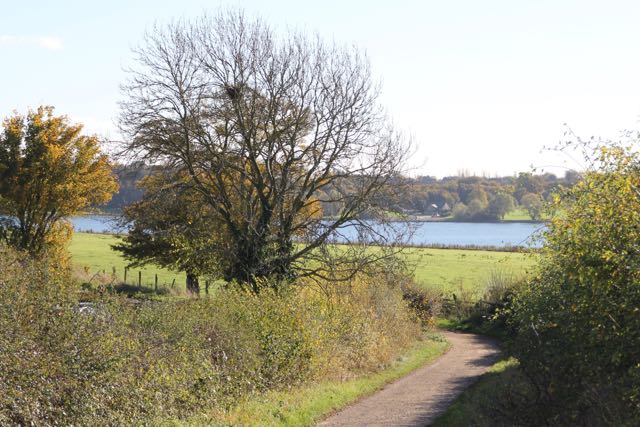
We started by going along Nook Lane and taking the footpath leading between two houses, through fields and a wood, then to the far end of the dam.  Then we walked along the dam, following the waterside path as far as Normanton car park, where we stopped for a short break.
A decorative telegraph pole

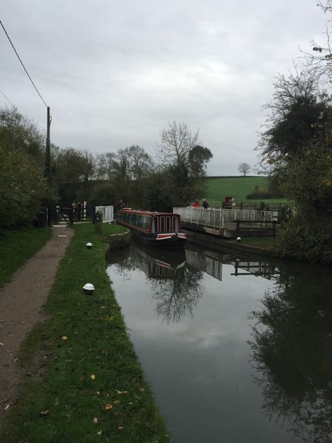
From the car park we turned left and followed the road for a couple of hundred metres, before turning right. The road goes past Oak Farm, and just before Top Cottages we take a footpath left, following a tumbledown wall, with ivy on it.  The path passes Normanton Lodge Farm and Whare Koa (Maori for Happy House). It joins a minor road and continues past Normanton Cottages with fine views down to the reservoir and the dam.

Just after the cottages the road bends right, and soon reaches a junction.  We turned right at the junction and climbed gradually uphill to a footpath sign. We take the left hand of the two paths here and follow the Hereward Way north and downhill. We cross the A606, and continue north and down towards Empingham,  crossing a footbridge and passing a house on our left, and Mill farm on our right.

Another short section of surfaced track, and we find a footpath sign which takes us into the village.
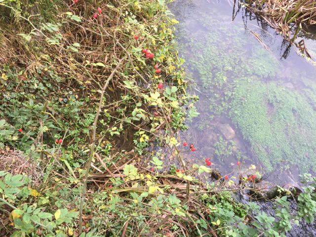
Over the stream
We walk along Willoughby  Drive, find the footpath on to Crocket Lane, and emerge back at the church.


Lunch at Wellies.


Wednesday, October 25, 2017

Pitsford Water, circular anticlockwise from the cafe.

Monday October 23 2017.  With Maureen, Marion and Eddie. The weather stayed dry until we finished walking, apart from a few spots of drizzle.

Grey skies - onward

through the woodland

Still grey

Undaunted

colour!

and more
We finished the walk and had lunch in the Willow Cafe at the country park.

Monday, October 23, 2017

Goyt Valley, near Buxton

Saturday 21 October 2017.
A short walk on a windy day, as Storm Brian blew around the Peak District and elsewhere. 


On the way we passed Jenkin Chapel.  This building is at the junction of three ancient tracks , or "salters' ways" which were once used to transport salt.


We had no real plan, but drove to a car park near Errwood Reservoir, then followed the road, before taking a footpath labelled "Woodland Path".

 The path climbed steeply, with wet leaves and some mud underfoot.

After a short distance the path branched and we followed the branch which led up to Foxlow Edge - the wind made itself very evident again here.  

View down to Errwood Reservoir
We decided to go down to rejoin the woodland path, then followed a sign to Errwood Hall.
This is the ruin of a grand house, once owned by a family named Grimshawe. It seemed a very appropriate name in today's weather.  The hall was built in the 1830s and demolished when the nearby Fernilee Reservoir was built in 1934.

There is more information on an excellent website about the Goyt Valley.
The main doorway


 I intend to return and explore the area more fully at some point.