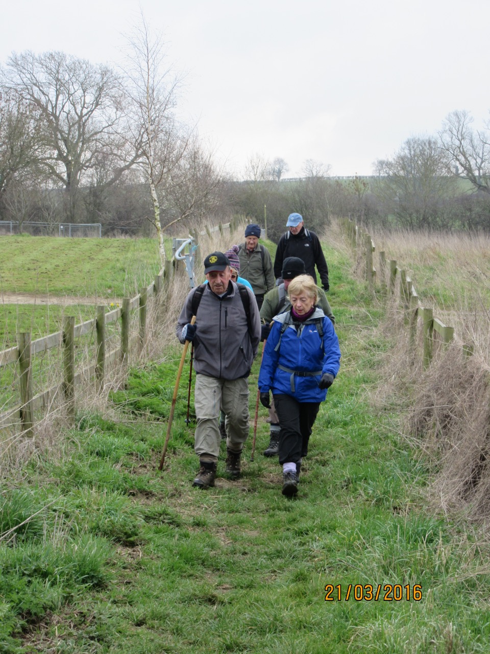
Led by Barry, with me and Gordon. Across fields and along tracks. Early sun, then cloudy but dry. Snow underfoot and most mud well frozen, apart from a boggy patch near where we crossed the Ise in Desborough. 8.5 miles approx.
 |
| The sun's early promise is fading |
We set off along a footpath from the road
out of Rothwell towards Rushton, just after the bend where Shotwell Mill Lane
goes to the left. A few yards further on
the footpath sign indicates the path, which crosses the field to the middle of
the opposite side.
It continues diagonally over the next
field, then takes you over a stile and follows the edge of the field. Over another stile, and we
turn right, following the hedge to the corner, and then round to the left. After this and another field we cross the
Ise, via a decent bridge. Then uphill to the road from Desborough to Tresham’s
Triangular Lodge. We don’t turn right
to visit this, but carry on and over the railway. The path leads uphill
again and we soon reach the road from Pipewell to Rushton.
 |
| Mysterious brickwork in a spinney near the Ise |
Here we turn left and follow the road
past Hilton’s End Spinney to the lane towards White Lodge Farm. This lane crosses Pipewell Road and carries on
in the same direction until it peters out. We cross a small field to join the
roadway round Pipewell airfield. We turn left, past a building used by
lorries and go as far as another left turn, by some concrete blocks, along a
footpath leading south west, then south to Desborough.
There's a relatively new development of
houses, where we follow a path across a park and a wooded cutting, before meeting the
Pipewell Road into Desborough. A left turn takes us to the railway bridge. We cross this and turn left along Rushton Road. Soon after the cemetery we turn right along Broadlands, and then the Hawthorns, past the Leisure Centre. The bridge over the Ise is in the diagonally
opposite corner of the field, over to the left.
Once we cross the river our troubles
begin. The boggy ground is frozen, but only in
parts! We're aiming for the left hand end of the spinney on the hill.
Easier said than done. Keep moving, aim for the snowy bits, and hope not to sink. Star trekking comes to mind – “We’re only going forward ‘cos we can’t find reverse”. I
make it without going knee deep, though my socks are muddy. Barry and Gordon are a little less lucky. Even so, no one loses any footwear.
 |
| Barry and Gordon are well-wrapped up. Desborough in the background |
After this it's plain walking, clear
paths and tracks, until we arrive back at our starting point, along Shotwell
Mill Road, past Grange Farm, and then the pond where we see these birds, in search of titbits, perhaps. Hard luck, guys, we've eaten it all.
 |
| Hopeful birds |