and occasionally rides a bike.
A word of warning. The walk descriptions are not detailed enough to guide you - please take a map. The batteries never run out, and you always have a signal. Oh, And don't take left or right as gospel!

Monday, January 30, 2012

Southwick circular

Led by Barry, with Maureen, Eddie, Gordon and me.  Fine, coldish wind. 8 miles approx. I managed to screw up my garmin trace.  The route is similar to the one we did on 19th September, but slightly longer, and walked in the reverse direction.

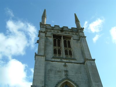
We started from Southwick church, and followed the lane where the two benches are. At the bottom end of the lane, if you look to the right, you will see Henrietta, of whom more later.


The lane crossed the stream via a bridge just beyond the ground of the Hall. The path wends its muddy way across the field straight into the woods, but we turned right (east) instead of straight ahead, then later left (north) through Howe Wood.


We followed the path around the wood, turning left alongside the wood, then right along a field boundary. The huge Apethorpe Grange came into view, and we followed the 'diverted bridleway' around the small lake, where we saw three herons, as well as a few gulls.  The path took us round more or less three sides of a square, coming out near Lodge Farm.  Here we took the road to the corner of Tomlin Wood, where there was a choice of three tracks. The middle one leads towards Morehay Lawn and wood. We climbed up gradually pausing for a break at a 'bothy'. (Not often you find a flush toilet out in the sticks!) Then we followed the way marker down to the left.
The walk continued past Morehay Lawn and into Holey Brookes, where we turned right, then left just before Southwick Wood. The path runs slightly south-west,  alongside the wood, and past Boars Head Farm and Cottage, and becomes a surfaced track,  leading gently downhill, past Crossway Hand Farm, down to the Southwick Road.

Across the road, we crossed a bridge and followed the path uphill along the hedge as far as the derelict Tottenhoe Lodge. Here we turned left following the hedge, then through a gate and diagonally across the field to another gateway. Here the path dips down into the hollow. There is a stream marked on the map, but even in January, there was no more than a muddy trench with the odd puddle. A bit of a drag up hill to the farm at Provost Lodge, where we walked between two outbuildings, then followed the road until at the top of a slight rise there is a gate, and the path turns left. We continued along the path beside the dried bamboo, past the Short Wood Nature Reserve and emerged on the Glapthorn Road, near the Water Tower. A short half-mile down the road, and we were back at our start point.


Eddie wanted to dip his wellies in water. I wanted to photograph Henrietta (see above). Off we went to the bridge where we met a man with a dog. He told us he'd made the figure, inspired by Henrietta Moraes who was a 'muse' of Lucian Freud, and Francis Bacon.  Bacon's portrait of her is being auctioned at Christie's next month, as it happens.


Bill Richardson, a resident of Southwick for 76 years, also showed me these two works representing the changes in agriculture over the period.  


I was reminded of the implement gate we saw at Holly Lodge near Moulton, on Monday 8 August 2011. No connection apparently.


Bill Richardson also made the stone village sign, which I'll photograph later, and produced a book (The Arm of Coincidence?) under the name of Bill James.

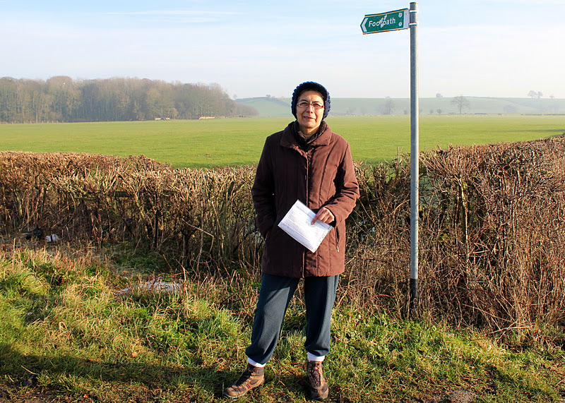
Map and details - health warning - chunk in middle where I'd switched tracker/timer off, and chunk at end part of homeward car journey

Monday, January 23, 2012

Aldwincle - Islip - Aldwincle

About 6 and a half to 7 miles. Led by Gordon. With Norma, Karen, Sue, Kate, Terry and me. Carol and Ian and Phil part of the way. Fine, mostly sunny, pretty dry underfoot, and flat. Map and details


We started the walk near the Pear Tree Farm tea-shop, walking along the main street, past the church, heading north on the Wadenhoe Road. 
A house called Onicle, corroboration of old local pronunciation!
Another house was called Ealda Nene, which means Old Nene. A few hundred yards past the last house we took a footpath on our right, north-east towards the Nene. We turned right when it joined the Nene Way, and headed south, parallel to the road, behind the houses.  
The Onicle Troll?
Rather than following the Nene Way right into Aldwincle, we kept walking ahead on the path. This emerges at the eastern end of the village, and we walked along a minor road to a lay-by, where we met the Nene Way and followed it into Titchmarsh Local Nature reserve.


The walk took us between the two large lakes - the trout fishery on the right hand side of our route was deserted.  We followed the Nene Way as far as Islip Mill, then walked a little further to a sluice near a new housing development. There is plenty of grass near the river for a pleasant snack stop.
We retraced our steps to the Mill, crossed the bridge and took the footpath on the left, which crosses parkland and emerges into Islip through the yard of the Rose and Crown pub.


We turned right and followed the road which becomes Ridge road, above the valley where the lakes and river lie.
Downhill slightly and back to the LNR, this time on the western side of the trout fishery. We continued straight on until the path met the junction of Lowick Lane and Lowick Road. Both Aldwincle churches are visible from here.  I thought one was Wadenhoe, but on closer examination of the map, I proved myself quite wrong.
Shortly after the junction we took a footpath to the right across a couple of fields to reach the Pear Tree Farm tea-shop where we had lunch.


A few pics from a previous walk  October 2008
John Dryden's birthplace - 1631

Orla the Harris hawk

All Saints Church, Aldwincle

The walk also covers some of the same ground as this one from Thrapston to Barnwell Sept 2nd 2011.

Map and details

Friday, January 20, 2012

Fineshade Woods

We wimped out of the long drive to Daventry today, and ended up walking about 3 miles in a wet, but not too muddy wander around the woods.  A coffee to kick-start us, half an hour or so in the bird-hide, watching woodpeckers and lots of tits - blue, great, coal and (?) marsh - or willow.
No camera today - I opted for the freedom to carry nothing on my back or round my neck - so this photo of a woodpecker magnet will have to do.

Lunch at the cafe, and a browse aroung the RSPB shop - only to discover that it's closing on January 29th.
Not good news.

Thursday, January 19, 2012

Swineshead - Riseley - Keysoe - S'head

Led by Barry. With Gordon, Eddie, Maureen and me. Not so cold as Monday, but the wind was cold. Muddy fields made it feel like rather more than the ten miles recorded on my magic machine.


We parked in Swineshead, a pretty village with some very old buildings – cruck-framed? Timbered houses and barns.  
We walked up the street and took a footpath to the left into a field of sheep, which looked as though they expected something of us – they were to be disappointed.


to be completed


Map and details

Monday, January 16, 2012

Isham-Pytchley-L and G Harrowden - Isham

Led by Barry. With Gordon, Eddie, Maureen and me. Very cold, frosty underfoot until shortly before the end of the walk. Fine sunny day. 8 1/2 miles.


First a warning - the garmin link starts 2.3 miles into the walk. That figure comes from Barry's machine.


Clothing adjusted, garmin re-set, ready to roll.
From Isham to Pytchley, down past the Overstone Arms and Butchers Hill, along a path towards Little Harrowden and great Harrowden.
Clock and gargoyles on Great Harrowden church.
We walked past Wellingborough Golf Club, based in the magnificent walled Harrowden Hall, which apparently has its own chapel


Heading towards Finedon we crossed the main railway line from Kettering - Wellingborough. The bridge was a great (and sunny) place for a snack stop.


We walked parallel to the railway for a while after crossing the bridge, then gradually turned back towards it, crossing it again at a large footbridge, before heading back to Isham.


(Note: This isn't very accurate - will edit later)

Map and details

Friday, January 13, 2012

Jurassic Way 2 - Chipping Warden - Charwelton

With Marta.  A bright sunny day - begun by scraping ice from windscreen. Ideal walking conditions, especially with base layer to keep me warm. Underfoot generally fine - some mud, wet grass. Between 8 and 9 miles.


Photo taken when we arrived here on Oct 2 2011 (yup - rain on lens :-( )
We set off from Chipping Warden, where we finished JW1 on 7th October 2011. We took the road towards Culworth, ignored the first footpath sign, but took the second path, about quarter of a mile along the road, left on a metalled track.  Not marked as Jurassic Way - do they mean to test our map-reading?


We followed this track round to the right, through a small wood, crossed a couple of fields and a minor road, and climbed up to around 500 feet, stopping to admire the view behind us.
Looking south going up hill towards Warden House Farm. There's still a trace of the fog I drove through near W. Haddon!
We'd built in a bit of exploration time, so turned to investigate the Cool Contours arts centre, part of the farm. Although nothing was happening today, we rather liked the wooden pigs.
After this we returned to our route, which took us through some trees and past a large pond in a dip below the farm.


Then, gradually downhill, making sure we took the left-hand path over a small hill, where the Macmillan Way goes right.


Then we walked across a small stream and on until we met another road, where we turned right, and ignored footpath signs until we saw a Jurassic Way sign at a right turn into the hamlet of West Farndon.  The path starts by a row of stone cottages, turning left across a couple of fields, before crossing another minor road.


 With a little imagination, I could have been in Provence? Replace poplar with cypress, let the sky deepen its blue. . .
Lookin down from the old railway bridge
We had no problems following the path as it took us over a disused railway line and towards a farm track, where we made use of a roller for a snack stop.
A short walk from here and we were at Woodford Halse, which has a variety of shops - we called in at the Fleur-de-Lys pub, but they don't do food. They recommended the Tea Station, a small friendly cafe, so we had lunch there, rather soon after our snack stop!


We left Woodford Halse by the path at the bottom of the hill, crossed the road and walked past the industrial estate, turning right just before a radio mast, along a track which eventually turns up to Charwelton Lodge, up on a hill. At that point we continued ahead, alongside a hedge, then over another dismantled railway.


The path took us past spoil from railway construction,  the deserted mediaeval village of Charwelton, and its fishponds to Holy Trinity Church and the nearby farm.


Across a field or two, we joined a lane then took a small footpath through a field of calves/small cows, then one with goats and horses, and emerged next to Charwelton's packhorse bridge over the infant Cherwell - probably 15th century. It's very small, and the road hides part of it.


A wise observer approves our achievement.


Map and details

Thursday, January 12, 2012

Kimbolton-Tilbrook, Pertenhall, Stonely, Kimbolton


Led by Barry, with me Eddie and Maureen - weather grey, some drizzle, improved to sunshine. Just over 10 miles (including mini-detours). 


Llamas and a mini-cow?


Pertenhall church in the diocese of St Albans - we took shelter in the porch for  our snack break


One more mile, guys!  We can do it!

Map and details

Monday, January 2, 2012

Gt Staughton - Stonely - Dillington - Gt Staughton

Mini-reservoir with 'scarecrows' at each corner


Barry and Gordon crossing a(nother) muddy field.

Crow scarer.

Tiny brown splodge = deer

Pylons near Graffham Water

Map and details