a muddy farm track
and scent of the cow shed
begin our day
damp fields
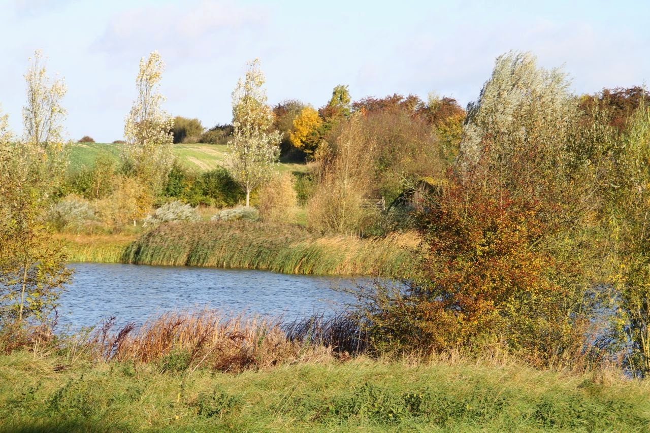
a wind-kissed lake
gold-framed by trees
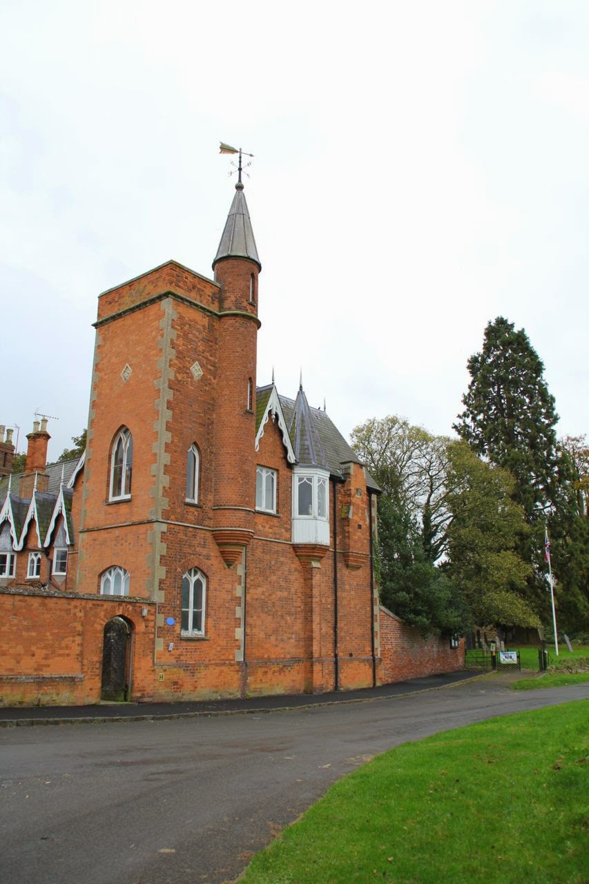
there’s a fine house
with shiny weather fox
and tennis court
under the striding viaduct
we meander to the bridge
across the Welland
Seaton’s hill-top spire
rising beyond the valleyup from Harringworth
Aha! at last
the sheltered bus stop
time for a snack
Lyddington’s our goal
below huge brown fields
and wide horizons
behind the Bede House
past ancient fishponds
and curious cows
the village green
gingerbread ironstone houses
then switchback Thorpe Road
the footbridge
has one hand rail
the Welland is full
but home is in sight
our pace quickens
walk finished, job done.