and occasionally rides a bike.
A word of warning. The walk descriptions are not detailed enough to guide you - please take a map. The batteries never run out, and you always have a signal. Oh, And don't take left or right as gospel!

Showing posts with label Hollinsclough. Show all posts

Tuesday, April 8, 2025

From Axe Edge to Chrome hill and Hollinsclough

  Wednesday 26th March

Walk 25 from AA Peak District Walks.  7.5 miles circular with approx 900 feet of climbing.


We parked just off the A53 at Axe Edge. For detailed instructions consult the book.

The view soon after beginning the walk
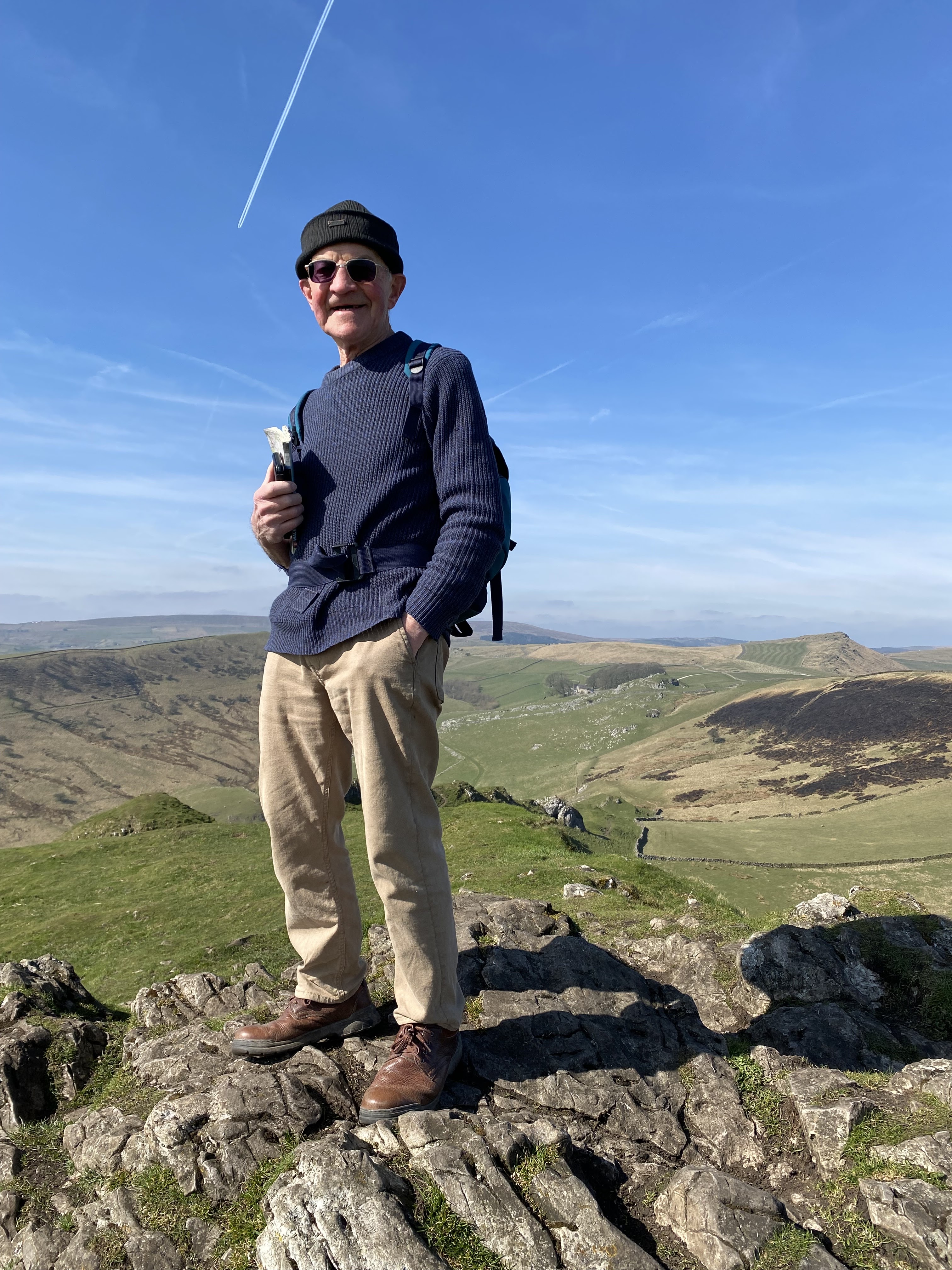
Beautiful views and good walking conditions made it an excellent day out.

Just after leaving the road downhill 
After walking past Fairthorn Farm

Making our way down past Thirkelow Farm - we found a nice spot for coffee

Down hill and over the duckboard bridge

Past Booth Farm we picked up the track towards Chrome Hill


Down and along the road, giving Parkhouse Hill a miss today.
We followed the track towards Hollinsclough and were delighted to make use of the honesty shop just outside the village.

The track from Hollinsclough is steep and muddy in places
Just before a deserted farm (Leycote) there is a lovely packhorse bridge and a very steep paved/cobbled track.


More steep climbing through birch trees

Eventually we reached Brand Top and followed the track and road back up to where we left the car.

Sunday, October 2, 2022

Cycling - Earl Sterndale, Glutton Bridge, Hollinsclough, Longnor, Crowdicote

 Sunday 25th September

A short morning ride, before meeting Jack, a friend of Harry’s from Leeds days. Only about 6 miles, but with around 470 feet of climbing.

the ford

Harry suggested riding along the minor road down towards Glutton Bridge, then following a track towards Hollinsclough - mentioned as a possible walk by our neighbour, Margaret. The track was quite rough, but rideable. When we arrived at the ford Harry rode through, hit a stone and ended up with wet feet. I took my shoes and socks off and pushed the bike through. As i sat there drying my feet, a group of walkers we had passed earlier came by. They walked over the footbridge which we hadn’t spotted! 
The stone covered track, joined a small road into Hollinsclough, onward and upward to Longnor, down to Crowdecote, and up again to Earl Sterndale. About 6 miles in all, and only one short pause on the hill back to base.
The map trace begins at the ford! My bad.

Note for future ref:
To explore on foot - Washgate Lane/ Tenterhills - pack horse bridge on track from Booth Farm to Hollinsclough.

The Dragon’s Back, Hollinsclough, and High Wheeldon

 Friday 23rd September 

Once again, the weather was set fair, so we set out to do our planned walk - a partial repeat of the one we did in March, with variations. 


Up the hill behind the cottage, through the yard of the Quiet Woman. Very quiet at the moment, as the pub has been closed since 2020.

We both separately went off track after the second fence, skirting Hitter Hill. I went to my left instead of turning rightish. We found ourselves and each other again on the way down towards the road near Glutton Bridge.


We crossed the road and picked up the path to the top of Parkhouse Hill.  Part way up, I noticed I no longer had my hat!  
A warning here - the real path skirts this deceptively small, but rugged, peak, and the descent directly over has been misguidedly created during the period of lockdown. It can be quite tricky, and I used both hands to help me over the rocky outcrops. We later heard of a couple of times the local mountain rescue was called out. So ok to go up, but maybe best to retrace your steps and go round the base. 


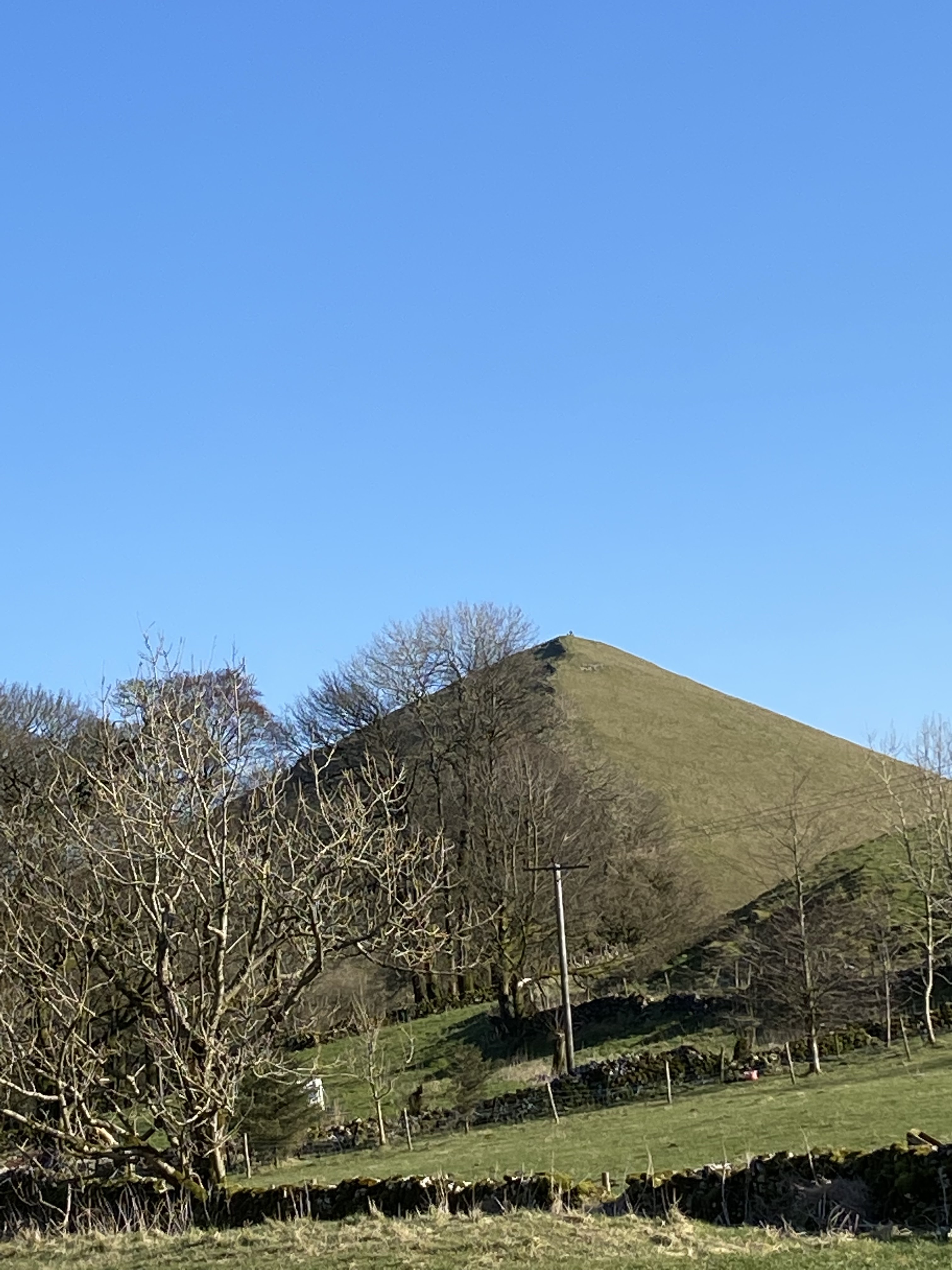
We found Chrome Hill less of a challenge, though just as spectacular.
From the photos it’s clear why the two hills are known as the Dragon’s Back.

We followed the path down Chrome Hill, through a gate, up a fairly steep grassy bank  Past Tor Rock , eventually joining a bridleway/ wide track near Stoop Farm,


 curving round close to Booth Farm, then continuing past Fough. We passed a few people walking this track. Eventually it turns into a smaller path over a footbridge,


crossing the river Dove, and leading into the small village of Hollinsclough, just in Staffordshire.


As it was Friday we had no hope of finding the Tea room open, but this time our luck was in.  The doors were open, the woman who runs it was there, baking, and there were two other customers. So we indulged in a coffee and cake! 


Along the long road to Longnor - a mile or so, very straight, then a left turn and uphill into the village.
Time for our picnic lunch on a bench - we had brought the boiled eggs this time.

From Longnor downhill along the road to Crowdecote, over the Dove into Derbyshire, and past the Pack Horse pub, where we booked a table for the evening.


There was a long walk uphill to join the track to High Wheeldon. Close to the summit we met the couple who had been in the tea room. 

From High Wheeldon it was a fairly gentle downhill stroll back to the cottage.


Just under 11 miles, with 2148 feet of ascent (645 meters).


Monday, June 6, 2022

Peak District - March 2022

 Earl Sterndale circular route to Parkhouse Hill and Chrome Hill - the fabulous dragon’s back.

Almost 1600 feet of ascent, and just over 8 miles. With Harry.

Walked from house to Parkhouse Hill and Chrome Hill- very steep if not very high, described as a dragon's back and challenging , came down via Hollín Hill and Hollinsclough Tea Room in the Chapel Hall, where we devoured a shared quiche and salad and a cup of tea. We returned via Longnor and across the infant Dove, and back up to Earl Sterndale.