and occasionally rides a bike.
A word of warning. The walk descriptions are not detailed enough to guide you - please take a map. The batteries never run out, and you always have a signal. Oh, And don't take left or right as gospel!

Showing posts with label Marefield. Show all posts

Friday, July 26, 2024

2024 18th June - Tilton, Maresfield, Lowesby

 With Marta.

Some of the paths were unclear/overgrown, so we modified our original route slightly.


Lowesby, as always easy enough, and the walk back to Tilton, was fine apart from overgrown section between hedges. Lowesby Station looks more run down than previously.


The walk felt pretty strenuous. Marta and I agreed on that one! Almost 8 miles, but felt like more.

Tuesday, November 26, 2019

Tilton, Skeffington, Marefield

Monday 25 November 2019.  The same route as these walks.
Just over 10 miles, with Maureen and Kate. The weather was dull and misty, and in the last hour of the walk turned to rain.


We walked to Skeffington, first, and had an early break before continuing. 


Frilly fungi


Colborough Hill

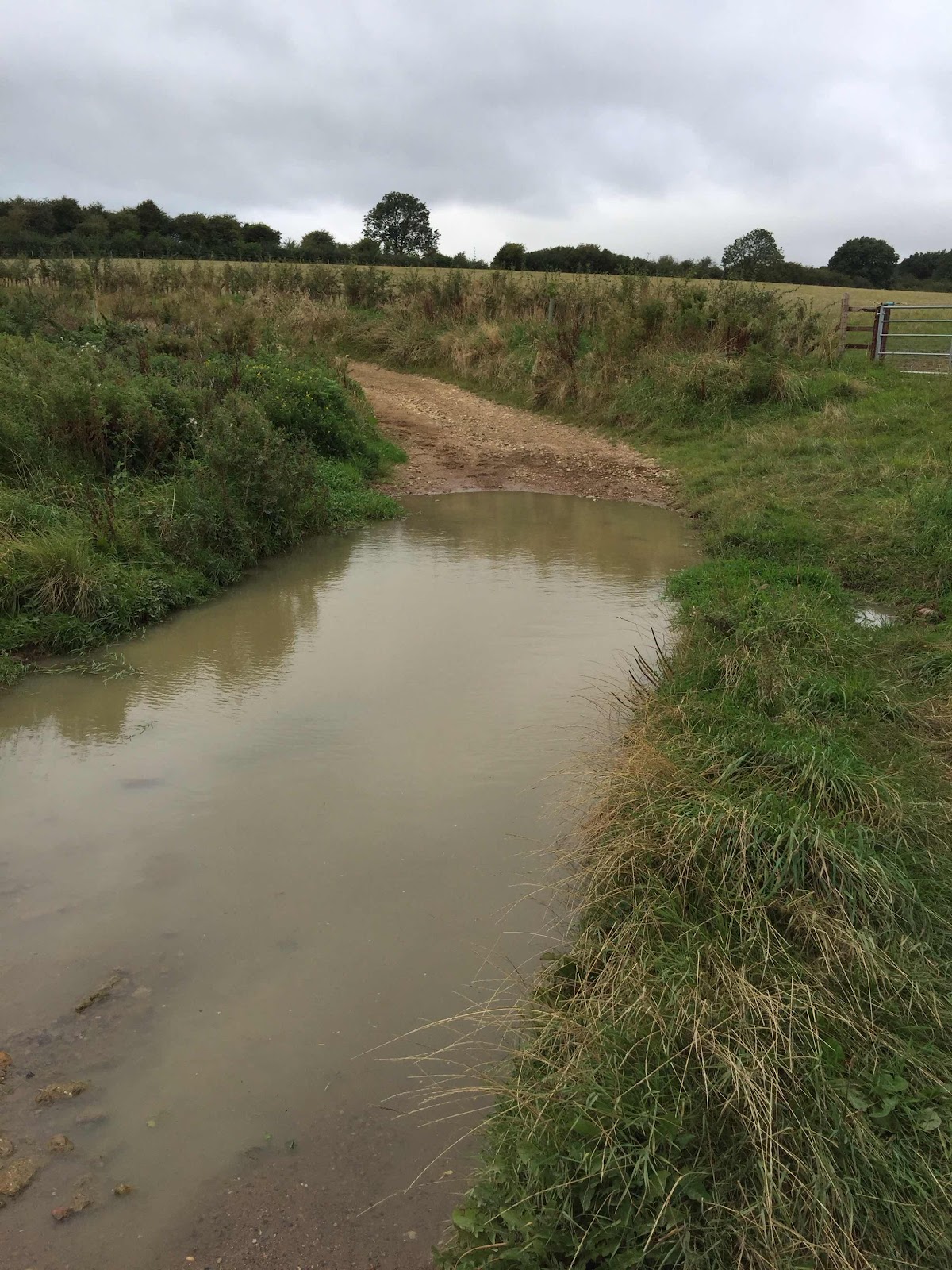
The final mile or so was the hardest - a muddy farm track, with two fords. Luckily I had thought to bring a potting compost sack in lieu of a Sir Water Raleigh style cloak, so the feet were kept dry! 

After the second ford the track made its way steadily uphill, and there were several large puddles to negotiate.

We had lunch at Buttercups Tea Room.

Wednesday, November 13, 2019

Tilton, Skeffington, Marefield - walked twice, once in reverse.


Walked on Monday 28 October with Harry. About 9 miles. Mostly quiet roads, farm tracks and a disused railway line. Underfoot was good apart from the last section of the track - the last mile of the walk involved crossing a ford - very wet!

The old school, Tilton


Add caption


Whatborough Hill


Skeffington church


Disused railway line


Wednesday 30 October 
The same walk in reverse with Marta.


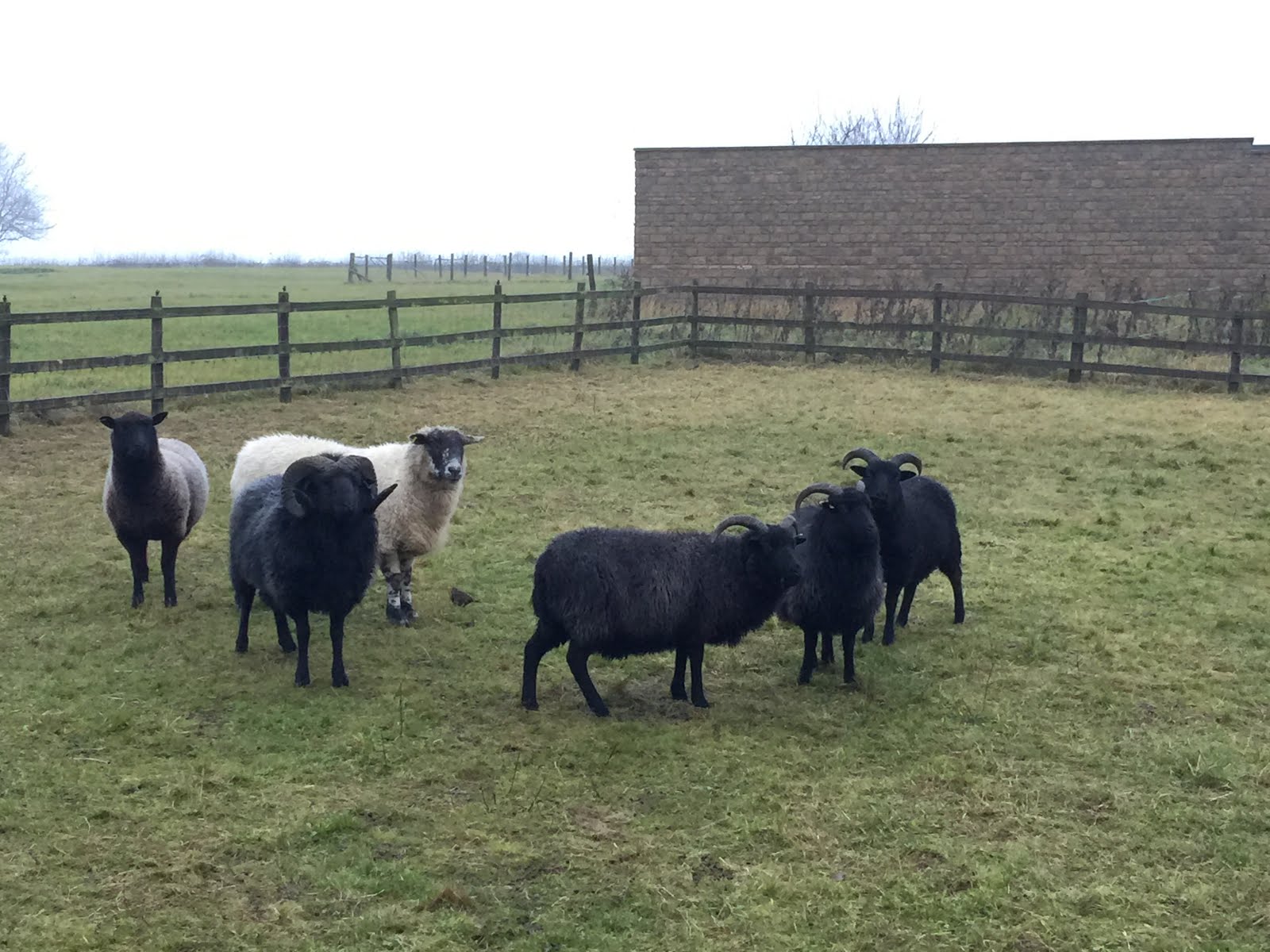
Feeding time for the sheep


A stile-ish break


fungi


artifical deer


Skeffington church


An unusual thatched figure in Skeffington


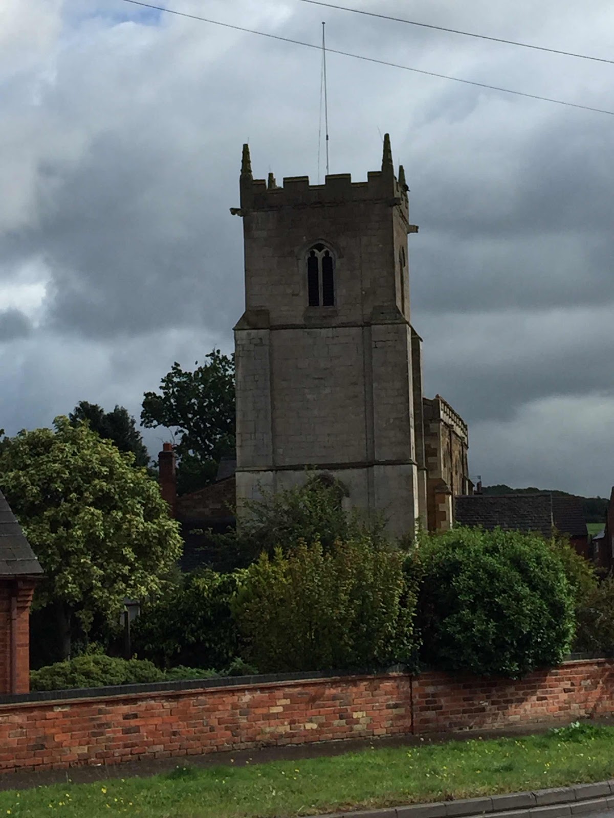
Tilton church


Tilton church


Tuesday, September 17, 2019

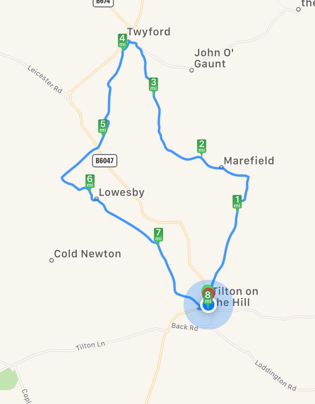
Tilton, Marefield, Twyford,Lowesby

Wednesday 11 September 10 20 am. 
Walked from Tilton wiith Marta. Just over 8 miles.


A day of changing clothes, too hot, then some drizzle, then too hot again. We left Tilton along Marefield Road and then down the track to the left. Downhill and over a muddy patch - unexpected as we've had plenty of dry weather.


We decided that a late start justified an early coffee stop, and found a spot where the track met a quiet road. A large group of cyclists passed us - clearly a decent road for a bike ride.
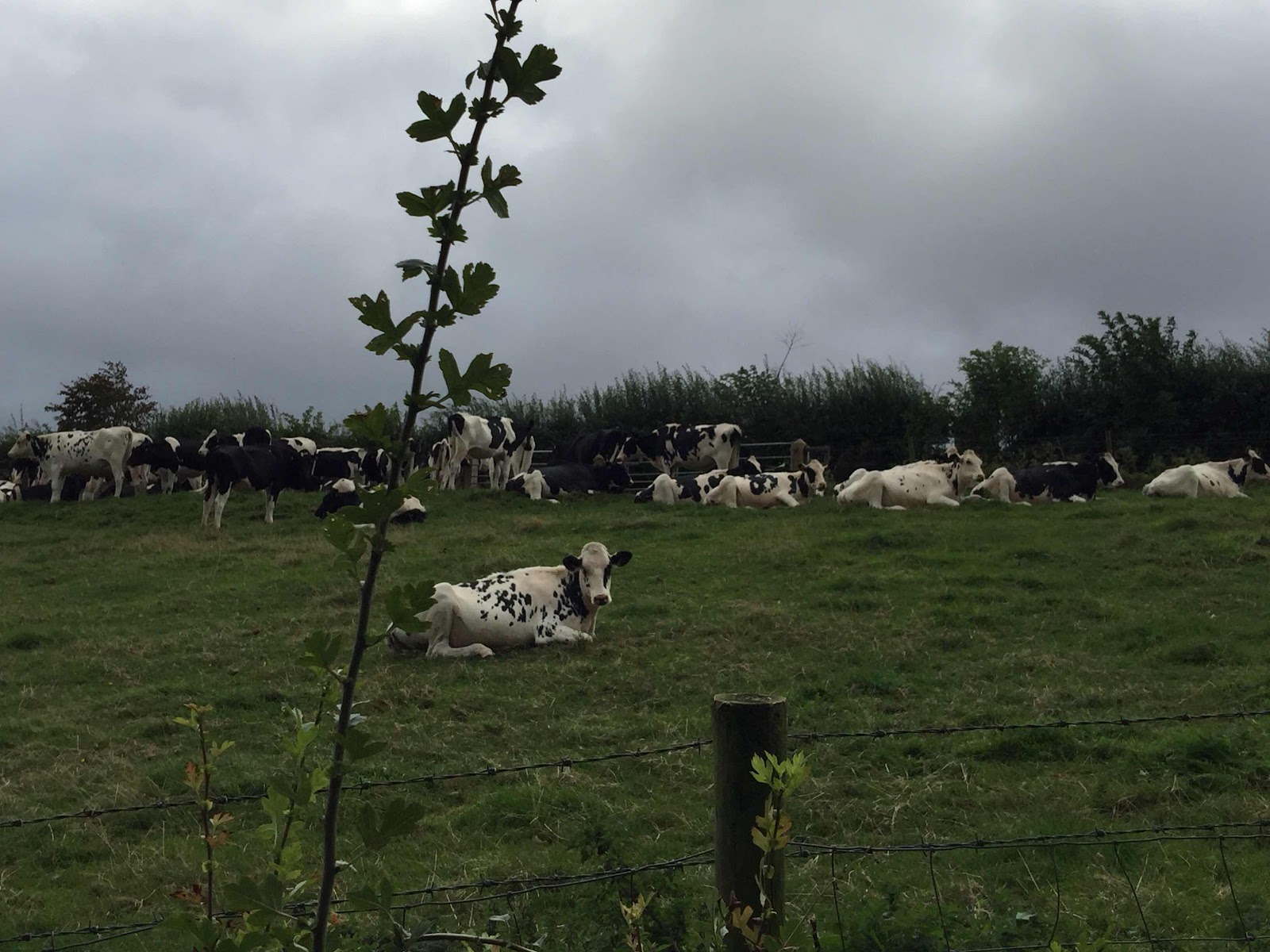
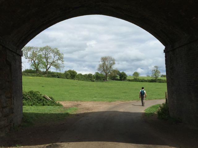
From here we turned left and followed the road through Marefield and past Manor House Farm. Soon after this we walked under a railway bridge, and continued along the left hand fork. There were lots of cows in the unfenced field.
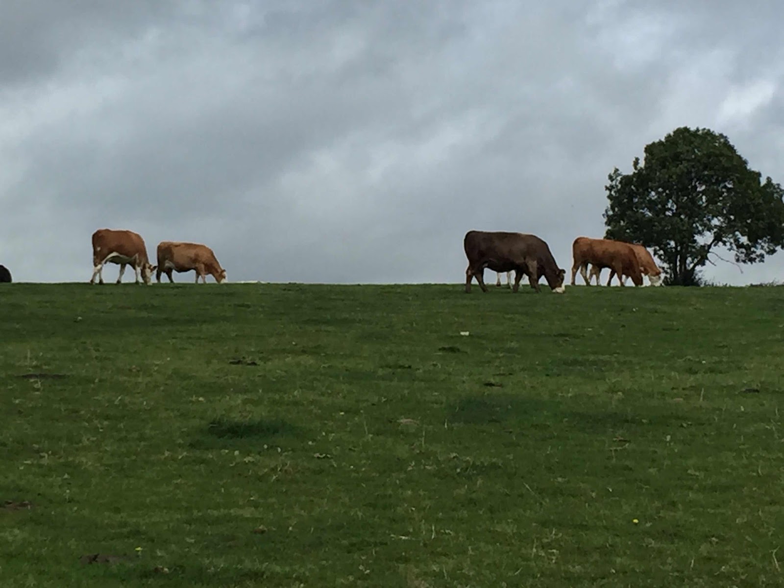


At the next road junction we crossed over to a footpath which led almost due north and past Lowenva Lodge Farm. There is a short section where we had to consult the map and follow field edges before we picked up the yellow signs, and then we followed the path into Twyford. It was drizzling enough for us to be grateful for the shelter of Twyford church porch. I almost succumbed to the temptation of yet more coffee, but the sun came out and encouraged us on our way! 
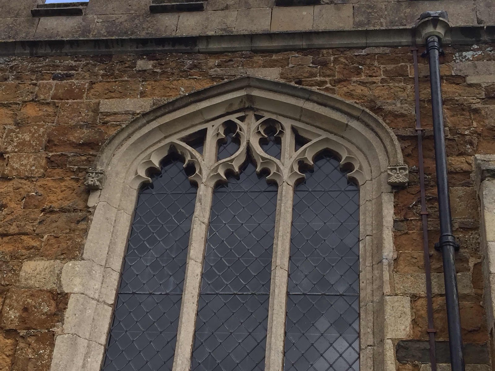


We left the churchyard, and after a slight hiccup took the first road to our left, following it round until we found the footpath we needed.
This path was not hard to follow, and crops have been harvested. The electricity pylons are a useful aid to navigation around here.  
We went past Highfield Farm, then downhill to the Melton Road. We crossed the road and took the small road opposite, known as Park Road. This goes past the site of the medieval village of Lowesby, but we couldn't see much evidence.  We followed the road past an avenue of trees leadin to Lowesby Hall, and picked up the footpath to our left, near the bottom of the hill.
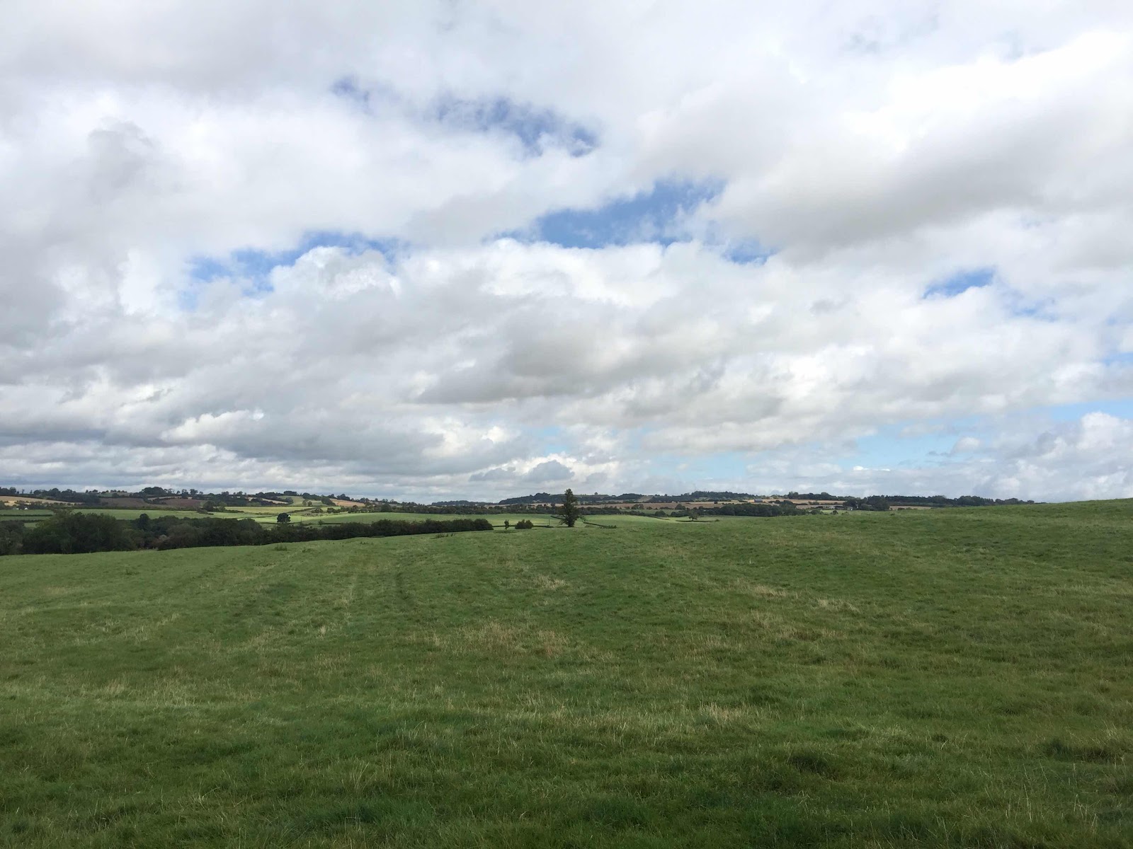

The path goes towards the hall and passes it on the left. It's clearly marked and leads round to the road to the church.
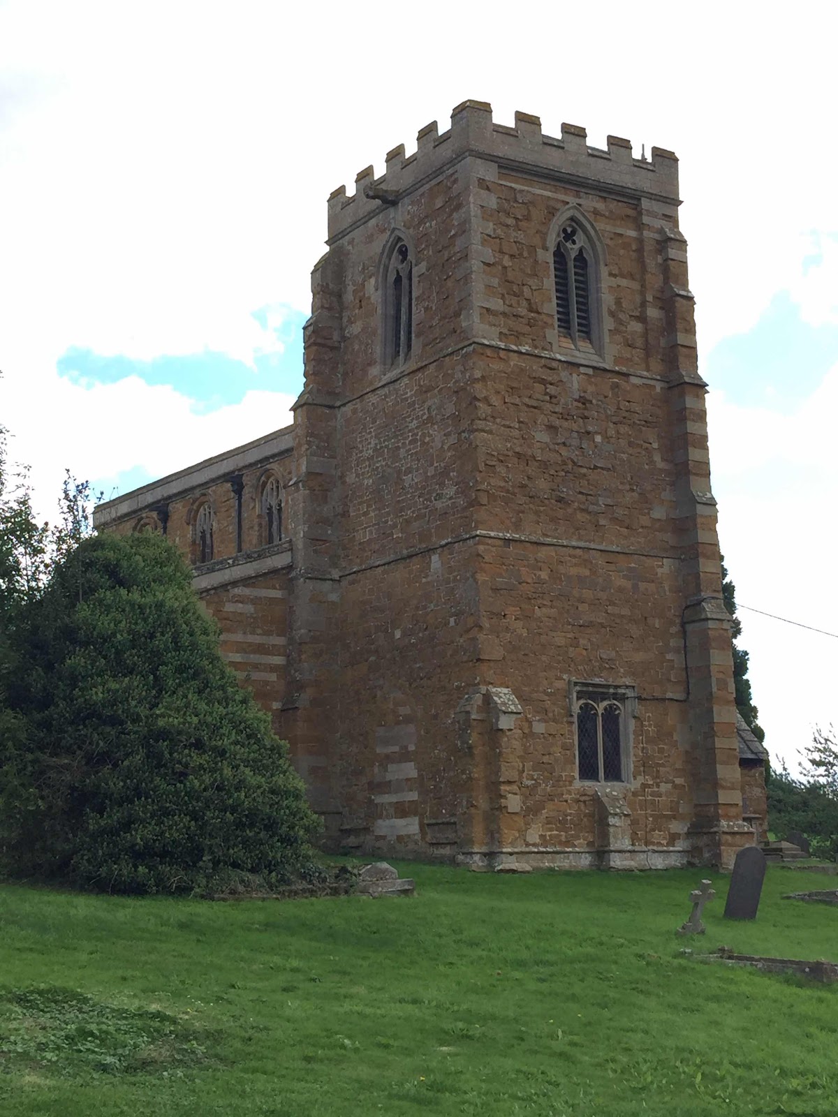

After the church our path crosses the road and heads southeast, with spelndid views of the countryside.

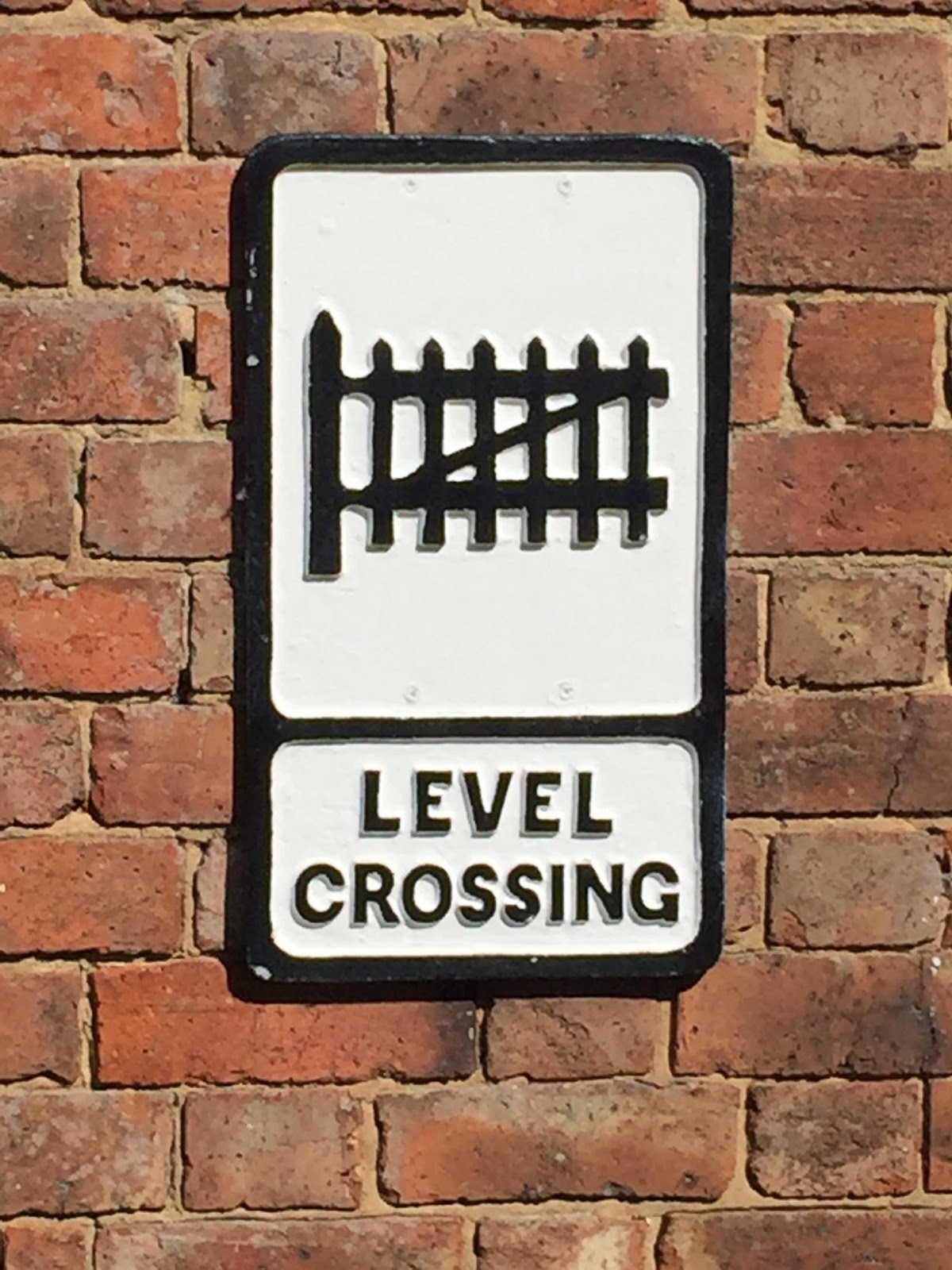
We went past the old Lowesby signal box and station , now marked on the map as Springfield Farm.


Then it was up the lane past Springfield House, and following the path over the fields, climbing gradually back to Tilton.


Lunch at Buttercups 

Friday, May 31, 2019

Tilton on the Hill, Lowesby, Twyford, Marefield, Tilton

With Harry just over 8 miles. Fine weather mostly, though we did shelter briefly from a couple of showers. 
 Walk taken from Heather MacDermid's book  "Foxton Locks to Rutland Water". Walk no. 7.  You also need a map.

We started from the village hall, and walked to the T-junction with the road to Melton Mowbray. Here we turned left and crossed the road a little further down to walk along Digby Close. 


The footpath starts between houses 16 and 17.  The footpath leads into a field, with great views.  We caught sight of two green woodpeckers flying between the trees.

Keep the hedge on the left and aim for the bottom corner of the field. Go through the gates and continue following the waymarkers to Springfield Hill. Ignore a bridleway going to the right and continue along the farm track downhill. At the bottom of the hill the main track swings round to the right, but the path we want is slightly to the left and goes across the dismantled railway line, passing the old station buildings.
Lowesby station,  looking less charming than when I saw it in October 2011 (see below)

We pass under power lines and with the hedge on our right head uphill. The path is easy to follow and well marked, and after half a mile or so we saw Lowesby church ahead of us.

 A patchwork of fields lay over to our left.
We paused briefly on the steps of the church, then continued to follow the path - well waymarked here to keep walkers away from private areas.
Lowesby church
The path goes to the right of Lowesby Hall, then crosses an avenue of trees and goes diagonally to the left. There is a decent view behind to the hall.
The path meets a minor road (Park Road) where we turned right and walked uphill and along to the junction with the B6047 Melton Road.

We picked up the footpath opposite the junction. It heads north alongside a triangular spinney, and to a second spinney, where there are gates enclosing a small area. We had a pause here to shelter from a shower.
it was a bit damp out there.
At this point the official path crosses the field, but we walked round the edges since it was unclear.  There is a track  on the right hand side of the hedge, and at the corner of the field we changed over to the other side. The hedge was now on our right. We went under the power lines and cut across the corner of the field along the path to the farm gate. The village of Twyford was in sight and we headed for it. We passed the play area, and the old school, and had a light lunch and coffee in St Andrew's church porch. 
Important dates on the old school? 
We then walked past the school and followed the road for a short distance, until we saw a footpath sign on the right hand side, just before the speed derestriction sign.

There was a stream on our left. We headed uphill towards some brick barn buildings, and followed the waymarks, going to the left of the barn.


From here there were two large fields where the path was not laid out and the waymarks were tricky to see. We walked round the edge of one, and through the other, keeping to the track with the help of GPS as far as possible. 

The crop was long and wet and not a lot of fun was had walking through.
The book we were following, dated 1989, warned that this part of the walk is not well cleared or waymarked, and things seem to have improved only marginally in the last thirty years!

The viaduct was visible over to our left - on this walk we didn't go under it.

After this there was a field with horses,  where we saw a hare.  From here there was no problem with waymarking or the route to follow. We came to a small road, where we turned left and very soon right along a lane to Marefield, which led us through pasture land where lots of cows were grazing, before going under the railway bridge and into Marefield.
In Marefield the footpath goes through someone's garden - there is a gate and clear markers, but it seems a little odd.  From here the path is pretty clearly marked as it crosses a stream and a disused railway line, heading towards Tilton.  We walked to the left of John's Wood and joined Marefield Lane to Tilton. We turned right and walked the short distance back to Tilton.