10 am GMT, on Thursday 2 January 2014.
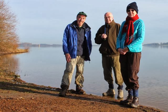
Seven miles on a fine day, not too cold, but muddy underfoot on occasions. Led by Barry, with me, Gordon and Eddie. Just look at that blue sky!
We set off from Ab Kettleby's old Wesleyan Chapel and Sunday school on Chapel Lane, taking the footpath over a field to the church.
 |
| Weights on the gate to the footpath |
A lot of restoration work has been done recently - it is sited on an old Roman villa, and this caused serious problems. There's a Norman font inside, and there is a memorial to Everard Digby, one of the Gunpowder plotters, but the church is locked.
We make our way through the churchyard, and past the remains of a moated area, heading south-west towards Saxilbye.
We cross a couple of fields and a minor road (Welby Lane) and pick up the path on the other side.
 |
| Not the most pleasant surface for walking |
We follow the path keeping to the left of this tiny pond, which appears on the map for once (at SK222720)
The path takes us to a piece of woodland called Cant's Thorns. We follow two sides of the wood, then join a rather muddy path between trees - serious hard work for the legs! After almost a mile we have the chance to escape by taking a permissive bridleway to our right. This leads past a farm and to a road, where we turn left. We soon meet a right hand turn to Saxilbye, and we follow this road through the village.
 |
| A church we didn't visit today |
We leave Saxilbye by walking under the railway bridge, then crossing the road and taking the footpath opposite.
The footpath goes south-west for about one third of a mile, but we know we have to turn right before we get to the house ahead. There's a path crossing our route, nicely signed for those heading in the other direction. We take it - straight over another muddy field!
 |
| Well, the pathway is quite obvious . . |
At Saxilbye Park we cross the road and carry on north-west to Grimston. In spite of its name this is an attractive village. The church is open, and contains the workings of an old clock.
 |
| Grimston Church |
We sit in the porch for our break - it feels as though we have walked more than four miles already. Grimston has a village green with stocks. We'll have to have a look next time!
From the church entrance we turn left and walk along the road. There's a footpath at the right hand bend in the road. Not the one we take today. Our route is the bridleway which goes through a gate, a hundred yards or so beyond the bend, and heads north-east. We follow this bridleway downhill,then up - at this point we are walking over a railway tunnel, but this is not obvious. We continue uphill past Barn Farm, and the track is clear and straightforwardfor a good mile and a half, going below a line of pylons as we approach Wartnaby. We pass the gates to Wartnaby House, and Friars Well, then make our way to Wartnaby Church. This one is open and well worth a look.
From here we follow the footpath for a short distance to the road leading back to Ab Kettleby. We resist the temptation of another footpath, and follow the road.
 |
| Looking back to Wartnaby |
A fine walk with wonderful views over towards Burrough Hill, and then the Charnwood hills. I think a return visit is on the cards!