A week in Rome proved to be even more enjoyable than I'd expected, from the apartment near the Mercato Trionfale to the miles we walked during the week - most days eight or nine.
If you're interested there are lots of snippets and pics on my other blog
Monday, September 28, 2015
Lowick, Twywell, Drayton Park
Mon, 2015 Sep 28 10:09 AM BST
With Maureen and Gordon. Late start after eclipse! Moonstruck leader wandered a little before finding the way. Around 7 miles in beautiful weather.
We parked on Drayton Road, near Mill Lane, then took Main Street out of the village.
 |
| Lowick "cathedral" |
 |
| A door to the "Old George" |
After crossing a farm road, the byway became trickier to follow, but we made our way, turning south, to the junction of the roads to Twywell and Slipton. A large block of concrete , close to some splendid blackberries made a good place to stop for a break.
 |
| The juiciest fruit is always just out of reach - luckily for the birds. |
 |
| Toll Cottage with its rounded wall |
 |
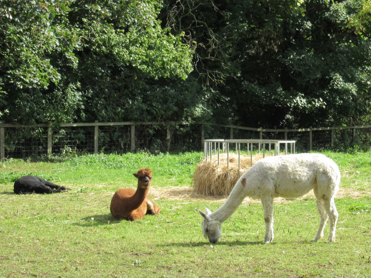
| I thought this gal and her mate were pigs from a distance! |


 |
| One field down, one to go! |


Another enjoyable walk in spectacularly good weather.
Thursday, September 24, 2015
Ryhall, Belmesford, Essendine, Tolethorpe
Thu, 2015 Sep 24 9:29 AM BST
With Gordon and Maureen. A fine autumn day, with a chilly wind from the West. Underfoot good. Very pleasant walk. About 8.5 miles in all.
The same route as we took on March 14 2011. Autumn is a good time for this one. The hedgerows were full of fruit, haws, rosehips, apples, blackberries, sloes all glowing on the plants.
From the car park outside Ryhall village Hall [036107](opposite the library), face the road and turn left, past the school and across a field footpath to Belmesthorpe. Cross the Gwash on a footbridge and go along Belmesthorpe Lane, turn left on Shepherd's Walk, then right on Castle Rise. Just after a left hand bend here's a footpath sign on the right hand side. This takes you across a small section of arable land.


 |
| Autumn colours in evidence now. |

 |
| The tiny white dots are seagulls |
There's a junction where we turned left, slightly downhill. Follow this until you reach the minor road between Ryhall and Great Casterton.

Here we were greeted by some curious sheep, who seemed to want to be photographed.


 |
| Dovecot near Ryhall Village Hall |
A more attractive walk than I remembered from three and a half years ago. We saw a few red kites and a buzzard today.
Map and details
Map and details
Wednesday, September 9, 2015
The Fosdyke saga
Tue, 2015 Sep 8 11:03 AM BST
With Marta. Still following the Welland as it makes its way through the marshes to the sea. Just under 10 miles, very flat. Dull weather with occasional spots of drizzle.
More details at the Walking Britain webpage:
More details at the Walking Britain webpage:
We start the day with a cup of coffee - this is getting to be a habit. There's a friendly little café called The Moorings, and they are happy for us to park outside.

The bridge carries the busy A17 over the Welland, so we walk past the Yacht Haven, on the north bank, then cross to the south bank, past the The Ship Inn.

 |
| Later on the pub was just "Open" "Open" |
We find the bridleway just before the caravan storage park. It's about two miles on the path along New Sea Bank to some trees and a nature reserve.

A hundred yards or so past Stone Quay is a deep drain and a footpath going to the right. We take this and follow it for a sheltered half mile or so, until it turns left at a WWII pillbox.
Time for a snack. (I know, I know . . .)

It amused me to try out the panoramic view on my phone camera. The car (not ours) was parked very close to the pill box.
 |
| Good health, one and all! |
When these pill boxes were built, they would have been closer to the marsh and the sea, but more land was reclaimed in 1948.
We head east for a couple of miles along the Old Sea Bank. There's a kestrel hovering, but not much other birdlife in evidence. We pass another pill box, and at the third one, turn left to head towards the Welland again. We are disappointed that we can't see the river - there is a wide section of marsh. We can just about see Boston Stump, though it's rather a grey prospect today.

With the wind behind us we promise ourselves another stop after Stone Quay. There's a lone heron by a marshy pool, a couple of ducks, and even two deer leaping over the fields towards the trees. Apart from these and a little egret earlier the wildlife isn't much in evidence.

We stop briefly by the gate to the nature reserve, have the tiniest piece of chocolate, and like giants refreshed set off to cover the remaining mile and a half back to Fosdyke Bridge.
 |
| This is as close as we got to the sea! |


Disappointing weather, but an enjoyable walk nonetheless - until the wasp nest incident at the end! We think the tractor mowing the long grass ahead of us may have disturbed a nest, and the wasps decided I was responsible - I did not know I could run so fast! Antihistamine tablets will now be added to my walkers' first aid kit, alongside the usual cream - now freshly bought and not out of date!
(added after Harry "outed" me on facebook!)
Monday, September 7, 2015
Weston, Sutton Bassett, Welham circular
Mon, 2015 Sep 7 9:35 AM BST
Led by Mel. With Jackie, Tim, Norma, Chris, Sue, Terry, Tommy, Jill and me. Fine and dry. Just over 7 miles.
A very pleasant morning's walk through fields and lanes, beginning and ending at the Wheel and Compass, in Weston by Welland. We walk toward the village, turning left and then right near the church on to Sutton Road. Before long a footpath goes off on the left and climbs uphill. When we reach the signpost which points in six directions we take the turn to Sutton Bassett, which goes down into the valley passing Lodge Farm, and its noisy but non aggressive dogs. At the road we turn left not taking the immediate left turn, but keeping on the B664 for a short distance before the footpath continues off to the right. We walk west for a while, and have a snack break, in the company of a friendly chicken - escapee or free range?


Another mile or so of very quiet road brings us back to the starting point, and our destination for lunch.
Sunday, September 6, 2015
Along the valley to Caldecott
We went down to the Welland, hoping to see the kingfisher again. We had just a glimpse of a blue flash speeding over the water. Otherwise there were swallows, martins, a couple of teenage cygnets, the usual wood pigeons, a heron and a red kite.


We had a stroll into Fairchild's Wood, too. I was looking out for ripe blackberries, but found none.
 |
| A rather irritating map, which is orientated in the wrong direction!
A bit more info about Fairchilds Lodge Farm.
|
Thursday, September 3, 2015
From Spalding (Springfields) to level with Surfleet Seas End
Thu, 2015 Sep 3 11:27 AM BST
With Marta, following the Welland. From the Springfields Centre, along the right bank of the river, as far as the point where the river Glen joins the Welland. Then back. Quite a chilly wind. As expected no way to cross the water near Surfleet. About 9 miles.
As usual, after a drive of around 50 minutes, we needed coffee before starting to walk. Hence the late start. We had thought of including a ride on the water taxi, but in the end didn't have time to spare today.
Once we'd found the route, a path beside the river starting from the water taxi boarding point, we headed downstream, following the bridleway along the bank .
 |
| Looking back from the sluice near Springfields |
 |
| A cormorant . . . with extra legs. . . |
 |
| cabbages . . . |
 |
| plenty of herons . . . |
 |
| lively skies . . . |
 |
| the River Glen at Surfleet Seas End. . . no bridge here, though |
 |
| Heading back towards Spalding |
 |
| We did a mile or so extra to see this moat, but could see no way to view the ruins of St Nicholas chapel, and a deserted medieval village. Wykeham Hall was once the country residence of the Prior of Spalding. |
 |
| wild or escaped plums |
 |
| Rowan, or mountain ash |
Another coffee before we left - a lovely walk in spite of the chilly wind, with a tiny hint of the sea ahead.
Subscribe to:
Posts (Atom)