and occasionally rides a bike.
A word of warning. The walk descriptions are not detailed enough to guide you - please take a map. The batteries never run out, and you always have a signal. Oh, And don't take left or right as gospel!

Showing posts with label Hampshire. Show all posts

Friday, December 27, 2024

Whitsbury, Outwick, Breamore

 Thursday 26th December

The mist was hanging around the treetops, and the sun refused to show its face. After a leisurely morning, a few Christmas carols,  and coffee with toast and lemon curd, we decided to walk.


In all it was around 5 miles via woodland paths

and minor roads to Breamore, 
Obligatory ‘arty’ red post box photo

Staddle stones


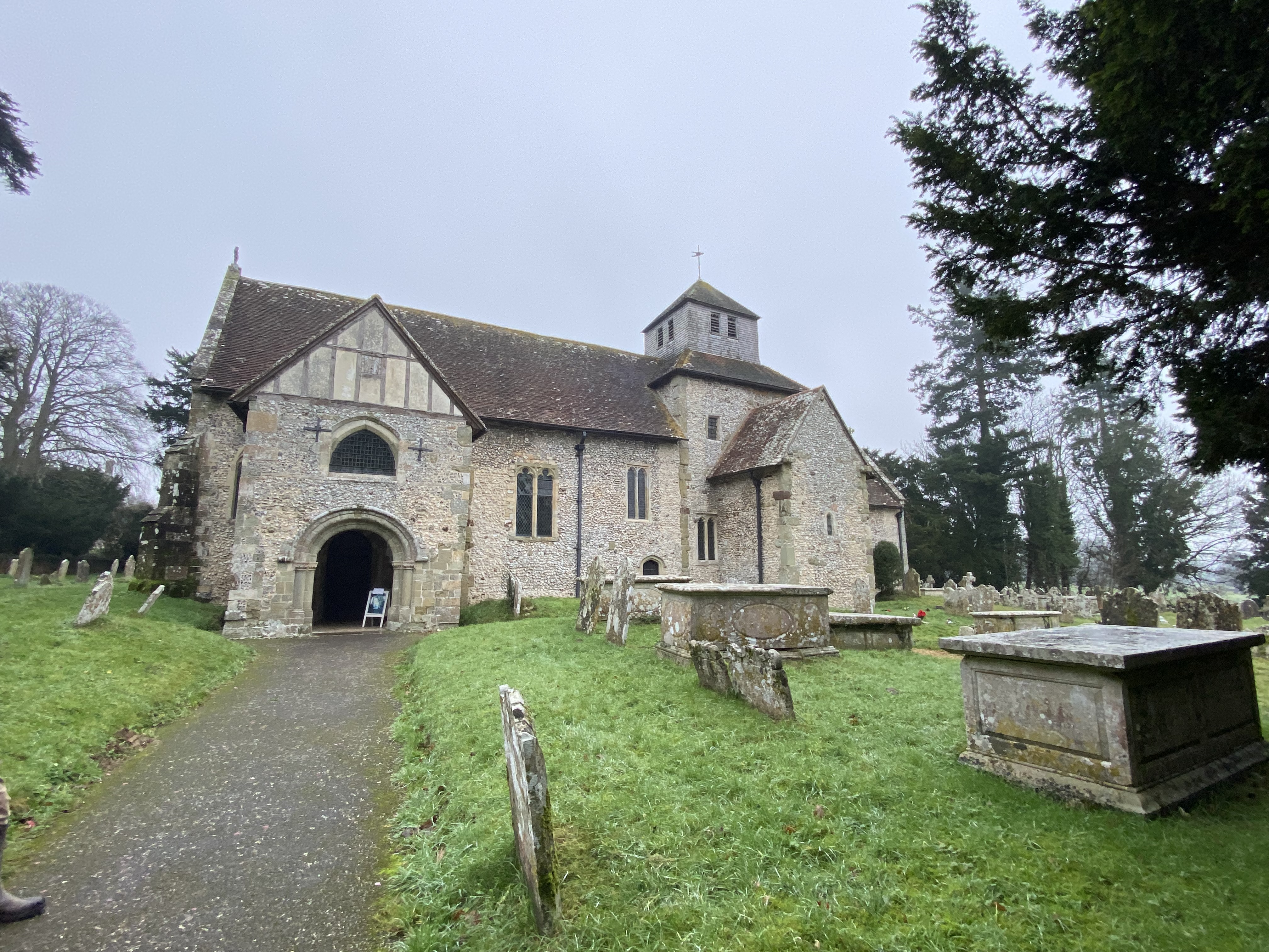
We visited the church


with its saxon arch.


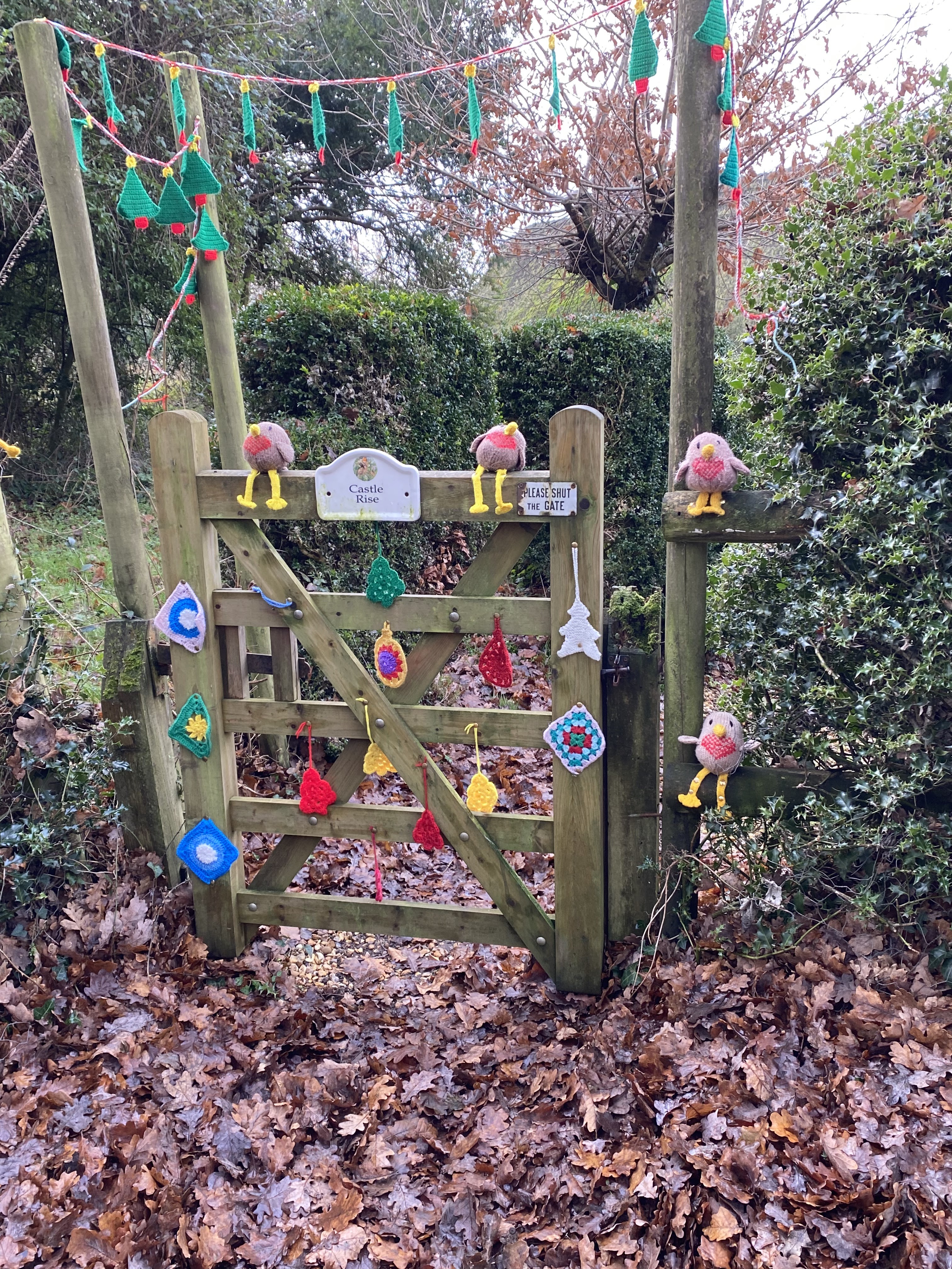
There are carved faces, which look possibly a tad disapproving of the frivolity of the knitted snowpeople


We returned via Outwick, and a path across the marshland, complete with a mini Swan Lake.


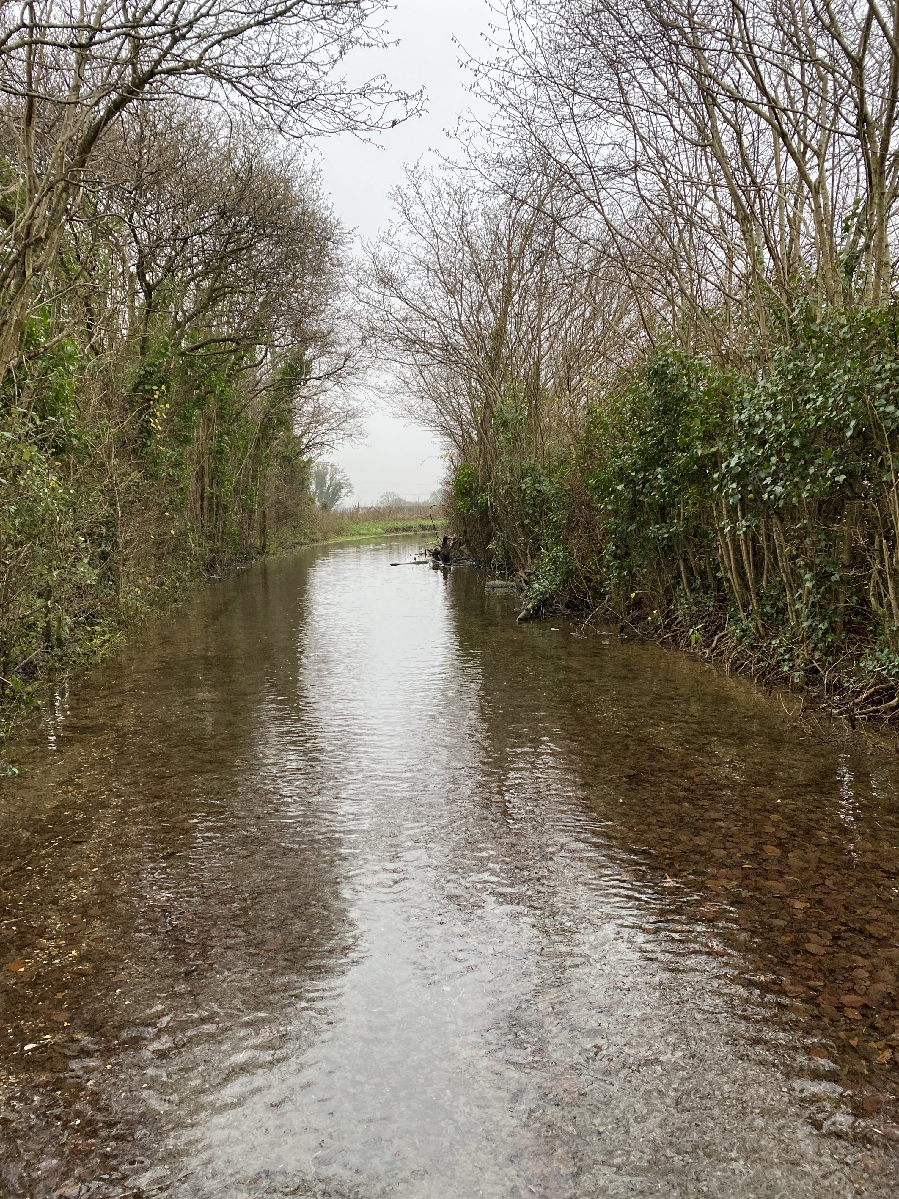
Then we had to cross a mighty flood (not very deep, and not flowing).


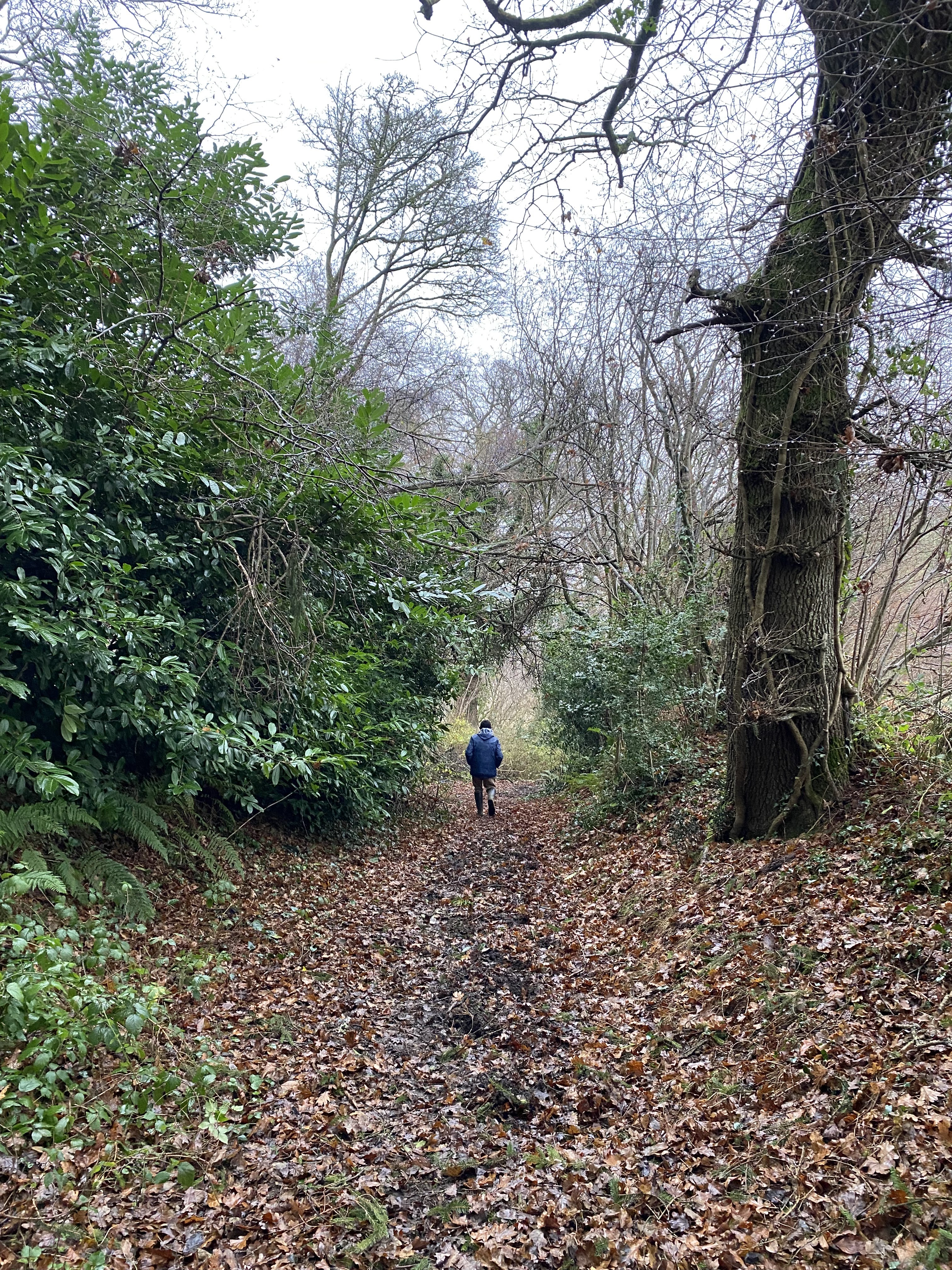
The final challenge was the path through the woods, which was clear on the map, but difficult to follow on the ground - churned up earth and some fallen trees. We got back for a snack-style lunch.

Saturday, December 7, 2024

A very short walk round Eling

 Sunday 24th November 

The weekend of Storm Bert. We seized a window of dry weather.


After breakfast we walked through the churchyard and down to Goatee Beach,


across the bridge near the Tide Mill, and to the marina. 


The wind was blowing, the rain had stopped, the church bells were calling the faithful to the morning service, and the rigging on the sailing boats was playing its metallic music. 

Lots of people out with their dogs.


Monday, September 2, 2024

A late afternoon wander round Lymington

 Saturday 31st August

After a fairly inactive morning, which we’ll put down to recovering from yesterday’s walk, we went out to Lymington, late enough for traffic through Lyndhurst to be flowing freely. 

We walked from the car park near M& S and down Church Lane, past the crinkle crankle walls.


We continued to the harbour near the sea water pool.

We made our way back through the old town with its cobbled narrow streets.


A gentle and interesting two and a half miles or so, before dinner in Rivaaz, an excellent Indian restaurant.

Sunday, September 1, 2024

Ashurst and Lyndhurst, Hampshire

 Ashurst and Lyndhurst


Friday 30th August 2024. With Harry.


We set off around 10 am to do a walk similar to one we did last year, but in reverse. It’s around 12 miles in all.


Through the houses to the main road to Lyndhurst - very busy as usual, but we soon left it and the noise of traffic behind. We took a not very obvious footpath opposite the New Forest Inn, and turned right  into the Woodlands area, with its grassy paths.


We followed the path west  past Ironshill Inclosure, leaving the Lodge hidden in the trees to our left. Then we crossed a gravelled track, and continued ahead for a short distance. There we turned left and walked through some more open land where there was a donkey grazing.


We sought a dry log to sit on and have a coffee break.

We know not to approach the animals, but this fellow took the initiative, in spite of us not feeding him.


There were also a few ponies. Very New Forest.


The path skirts the golf course and head towards the main road once more.

There is an underpass for pedestrians and animals - clearly well-used by the ponies.


Now we climbed the gentle slope of White Moor, making for the ridge close to Beaulieu Road. it was quite hot on this section of the walk, but nothing like last year.


After a mile and a half or so we reached Matley Wood campsite and a shaded section of the walk. This made a surprisingly quiet spot for lunch.


The path continued down hill, and we reached open heathland again.

We turned left along the path towards Ashurst Lodge, crossing the Beaulieu River via a footbridge.


At this point a herd of ponies appeared heading west..


We continued and took the path towards Ashurst Farm, crossing the mainline railway on the way. At Ashurst Farm (marked on the house as Churchplace Cottage, we followed the main track which comes out near the Happy Cheese pub. Once we arrived at the Southampton to Lyndhurst Road, we retraced our steps back to base.


Monday, July 15, 2024

Dec 26th, 2023 Whitsbury, Breamore, Woodgreen, Fordingbridge

 This walk contains part of last year’s walk in reverse.


 From Whitsbury House Coach House at 10.40. Down the road opposite the gateway,  towards Lower Farm,  taking the footpath to the right leading slightly uphill through the soggy woods - plenty of mud and squelchiness.


We climbed up, then followed the bridleway along the edge of the woods, past a track leading to a church, which we didn’t visit. Fields of horses   one labelled “Good morning, Olive”. This is part of the large stud farm.  

At a junction just before the Manor House (according to the OS map) we turned right and went downhill as far as Lower Farm, where we turned left following bridleway signs. After a gate we turned right to another bridleway leading  south eastish, marked as Long Steeple Lane on the map. When we reached a minor road (Roundhill Cross) we took a footpath to our left, diagonally and uphill over a field, emerging at Rookery Lane (Upper Street). 


At the next road junction we turned left towards Breamore House, then following signs to the museum and farm shop (closed of course), then turning right and finding the track to Breamore church.


We visited this building last year - today we made use of the seats in the porch for a coffee and Guinness cake break at our 3.5 mile point.

It’s a lovely building, and the graveyard is huge.

We returned to the road, and headed towards the main A338 road - we decided to give the footpaths a miss - the are looked pretty soggy.


At the A338 we turned right and had a short walk alongside this busy road, past the Bat and Ball pub to the left turn to Woodgreen. There’s bridge over the dismantled railway line, then another over the mill stream, and one more over the main course of the Avon - looking very full this year.


As we come into Woodgreen, at the junction near the pub, we turn right and climb up to the right turn to Castle Hill. This road has parking spots and a great view over the river as it snakes its way along the valley.


We walk down through the woods and through Folds Farm, following the Avon Way, with several small bridges over small branches of the river - small, but once again, full.  There’s plenty of mud and the puddles make me pleased I chose to wear wellies today.   The last and widest bridge over the main river is a suspension footbridge, and you can feel its movement as you walk over it to reach Burgate Manor Farm.


At the main road (A338 again) we turn right for a short distance, then left to join a footpath through Lower Burgate, past some playing fields on the right, ignoring the right turn and on until we reach the minor road junction at Tinkers Cross.

There are new houses being built - by this time we needed more fuel, so found a couple of breeze blocks to use as seats, and had more coffee and the remains of the large chunk of cake. ( 8miles done by now).

We finished the walk with a gentle but consistent climb up the road to Whitsbury. The roadside offers mosses, fungi, and tongue and other ferns.


Back at base at 3 20 - we’ve done a good ten miles today, and there were 418 feet of ups and downs.

Thursday, August 24, 2023

Walk to Ashurst and Lyndhurst circular

 Wednesday 23rd August

With Harry. 12 miles and some more. 

To Ashurst co-op, then along the Lyndhurst Road, turning left just before the station . 

Follow the path close to the railway line, until it joins a cycle track just after a bridge leading to Ashurst camp site and Ashurst Lodge.


The bridge is on the right, but our path goes through a gate into the woods.


Follow the track, keeping the railway on the right, and after about a mile, you reach a bridge. Turn right, crossing the bridge over the railway and then the infant Beaulieu River, and continue south west, across open heathland. Where tracks fork, take the right hand fork leading towards Matley Wood and the campsite, with its welcome shade.

At the road we take the track alongside for a while, heading slightly north of west towards Lyndhurst. Very little shade for a good mile and a half - noticeable in the hot weather.


In Lyndhurst we headed for the Greenwood Tree cafe for a late lunch - sandwiches with plenty of tea.

We made our way back following paths, through the edge of the golf course and into the woods to then north of Lyndhurst  towards Woodlands. 

North as far as the highest point at Redbridge Hill, and a bit further, then east.


Much easier to navigate with the OS map app showing our exact position!


Back at the main road, which we followed. Essential ice cream stop at the Co-op before the last mile or so home.

We decided we had earned a lazy next day.