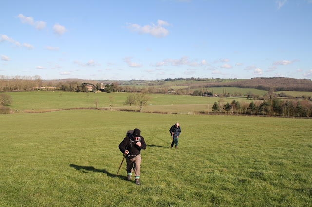
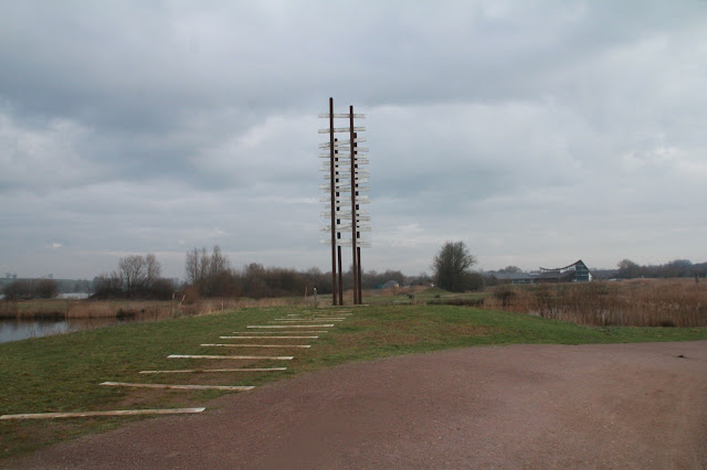
An exploratory walk from near the Woolpack, involving a walk along the disused railway track over the Nene and back, part of the Nene Way, the foorpath near Woodford Grange, and the track from Stanwick Lakes. All pretty well flat, and no big mud today.
and occasionally rides a bike.
A word of warning. The walk descriptions are not detailed enough to guide you - please take a map. The batteries never run out, and you always have a signal. Oh, And don't take left or right as gospel!
Monday, February 29, 2016
Sunday, February 28, 2016
Thorpe Langton to Glooston via Stonton Wyville
Fri, 2016 Feb 26 10:12 AM GMT
With Marta. Very muddy at start, otherwise the normal muddiness of this year's field paths. A fine dry day, with some wind. Just over 6 miles, but it felt further.
The first part of this walk was one of the more demanding and unpleasant walking experiences I have had in this area, entirely because of the state of the footpath just after the ford to the north of Thorpe Langton. I was expecting this from information the LFA had given me, but on this occasion those who reported this were not exaggerating.
Luckily I had remembered to bring the trekking pole, for once!
I would not recommend this walk until the ground dries out.
We set off from the Welham Road in Thorpe Langton, and followed the Leicestershire Round sign downhill along the field road, past Caudles Cottage and then farm buildings. At the point where there is a ford and two footbridges over the stream, the official LR path goes to the right and over a stile.
We nearly decided to turn back there and then and take the alternative low level route. If we'd known there were two more mud wallows ahead we would have done, but by then we were in so deep . - yes, I've misused that quote from Macbeth before.
By the time we'd walked the mile or so to the top of the Caudle, we decided we deserved an early coffee, and found a pleasant sheltered spot with a view.
Just after the trig point our path turns left and joins the bridleway between Stonton Wyville and Welham. This was also muddy, though much less so than the previous stretch.
The path downhill over an arable field is clear.
We met a group of four on the way into Stonton Wyville. They were walking the LR, so we warned them of what lay ahead. . .
Stonton Wyville churchyard looked very springlike, with snowdrops, daffodils and primroses all in bloom.
We made our way along the road opposite the church, and picked up the LR sign on a finger post "Glooston 1 mile". This is a flat path, still rather damp, but no serious obstacles here.
Instead of trying the pub we chose to walk back to the start of the walk, this time taking the field road to Thorpe Langton, which is a pleasant, slightly less scenic, and much less muddy route.
 |
| Looking back to the mud wallow beyond the stile. |
Lunch at the Red Lion in Welham, after changing out of our very muddy boots.
Map and details
Saturday, February 27, 2016
Hallaton, Horninghold, Stockerston, Blaston
Led by Tommy, with Gordon and me. Not too bad underfoot, though some sticky mud in places. Beautiful sunny, clear, cold weather. 7 miles.
From the Fox Inn in Hallaton we turned left and left again on to North End (signposted to Horninghold. The footpath goes between some newish houses to the left and crosses a few fields before reaching the track through a farm just northwest of Horninghold. We could have turned right here and walked through the village, but went straight on, then headed for Horninghold Wood which we could see slightly to our right.
We crossed the road (Knob Hill Road) and took the bridleway with the wood on our left. We followed this more or less east for about a mile, going between Park Wood and Bolt Wood, until we reached the land behind Stockerston Hall and church.
Here we turned south west, heading towards Blaston.
At the top of a hill, next to the corner of Bolt Wood, we took a break in a sheltered spot at the stile. We followed the edge of the wood, alongside a ploughed field, then turned left to meet the road, just after Stockerston cross roads, on Belchers Hill.
There was a brief section of road walking before we took a bridleway south west, and mainly downhill into Blaston.
Blaston has a fine selection of buildings to admire.
At the church we turned right and when we reached the gated road to Horninghold, we took it for a short distance before the footpath veered off to the left (northwest now). A gentler section, again flattish or downhill took us to the Medbourne road and into Hallaton.
The Fox Inn does a decent meal, and good sandwiches. Very welcome they were too.
Thanks for an interesting walk, Tommy.
From the Fox Inn in Hallaton we turned left and left again on to North End (signposted to Horninghold. The footpath goes between some newish houses to the left and crosses a few fields before reaching the track through a farm just northwest of Horninghold. We could have turned right here and walked through the village, but went straight on, then headed for Horninghold Wood which we could see slightly to our right.
We crossed the road (Knob Hill Road) and took the bridleway with the wood on our left. We followed this more or less east for about a mile, going between Park Wood and Bolt Wood, until we reached the land behind Stockerston Hall and church.
 |
| Stockerston Hall and church |
 |
| Climbing up the slope. |
There was a brief section of road walking before we took a bridleway south west, and mainly downhill into Blaston.
 |
| Billesdon Coplow I believe? |
Blaston has a fine selection of buildings to admire.
 |
| Greetings, pheasants. |
 |
| Blaston church |
 |
| The final stretch into Hallaton |
 |
| The garden of the Fox - we went inside! |
Thanks for an interesting walk, Tommy.
Tuesday, February 23, 2016
Lyddington, Uppingham, Bisbrooke, Seaton
Led byTommy. With Chris and Marion, Chris W, Marion, Jill, Norma and me.
From Lyddington, along the bridleway on your right shortly after the village green, then turning left along the muddy path with lots of stiles, through fields and back to the road.
Over the road following the footpath uphill through the fields, cutting off the corner of the road. When we reached the road a second time we turned left and took the path by the road uphill to the junction. Here we turned right and followed the road, admiring the snowdrops, primroses and daffodils, all the way to Uppingham market place, where we had a longish break.

We left Uppingham, going along High street East towards Glaston Road, then turning off to take the track towards Bisbrooke. More snowdrops and crocuses in evidence here.
We walked past the church and out on to the fields again. the first part of the route was a little muddy, and some of the fields were quite soggy. We made our way uphill, across the old railway line, and over a final field to Seaton, guided by the church spire.
There are some steep steps down to the road in Seaton, and we were distracted by a little dog. it had decided we looked a better bet for a walk than its owners.
We turned right and walked through Seaton, then turned left to Seaton Grange.
After this the path was fairly straightforward, with the occasional obstacle.
Just a few yards to complete this seven-mile walk, back into Lyddington.
seven rolling miles
some soggy fields
well used legs
take me to the pub
and a hearty sandwich
unfortunately the pub didn't do sandwiches . . .
Sunday, February 21, 2016
Just a few strolls in Hampshire
We spent a week in Hampshire . .
at Fordingbridge
but the swans are quite happy
At Nearby Blashford Lakes, where there are lots of small birds near the feedersFriday, February 12, 2016
Fineshade - Blatherwick - Kingscliffe
Monday 8 Feb . With Tommy, threatened by Storm Imogen.
Quite windy, but not too wet.
Only pictures taken, since weather was uninviting, so I put the camera away!
We walked from Top Lodge car park, along the road to the path across the field and through the wood, then past Fineshade Abbey. At the ruined shed we turned left across the field to the corner of the woods, then along and down coming out at the farm near Blatherwyck and the old mill.
A short road section before turning right and crossing a couple of fields, then heading left towards Alders Farm, and then the path through fields near Harpers Brook towards the allotments at Kings Cliff. Then we turned left, crossed the road and walked up the road and track to the sawmill. A short break for coffee, and it just remained to walk back to the Top Lodge cafe for an early lunch of soup and a roll.
No map today.
Stanwick Lakes wander
Fri, 2016 Feb 12 10:00 AM GMT
With Marta. 8.3 miles. Good tracks, bit of road, very flat. Long coffee stop, then walk. Lunch at visitor centre. Fine, dry, with a slightly cold wind.
We set off from the Irthlingborough end, near the old football ground.
 |
| Reflection under the A6 |
 |
| Part of the Changing tracks art project |
 |
| and more |
 |
| near Woodford mill |
 |
| Light, water and sky |
Along the road to Ringstead they were chopping some trees
. |
| Moulton college training tree surgeons? |
 |
| Spot the green woodpecker |
Map and details
Subscribe to:
Posts (Atom)


