and occasionally rides a bike.
A word of warning. The walk descriptions are not detailed enough to guide you - please take a map. The batteries never run out, and you always have a signal. Oh, And don't take left or right as gospel!

Showing posts with label gravestone. Show all posts

Saturday, December 28, 2019

Boxing Day walk in Wellow

Thursday 26 December 2019.  With Harry - 7 miles along wet roads. 


This was the first really soggy day since  we came down. As Esther and family were visiting the other grandparents today, we decided on a walk to the church of St Margaret of Antioch, East Wellow, along roads. Any footpaths were certain to be very wet underfoot.

We knew about St Margaret's Church from a conversation with the husband of the minister of West Wellow Methodist church on Christmas morning.


We set off along Maury's Lane and past the Methodist church, then along Romsey Road, past Foxes Lane.  In normal weather this would have been a short cut. We continued past Carlo's Tearoom - closed of course, then turned left along Whinwhistle Road. 
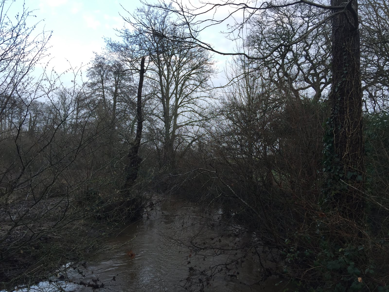
The road crosses the swollen Blackwater river, then becomes Woodlington Road. 
At Hackleys Lane we turned left and followed the road for around a mile as it turned sharply right, and passed Wellow Manor, before St Margaret's church was signposted to the left along an even smaller lane. A cul de sac with a house the church and the Church Rooms.

It was easy to find Florence Nightingale's grave.


It was still raining, so we took shelter in the church porch. 
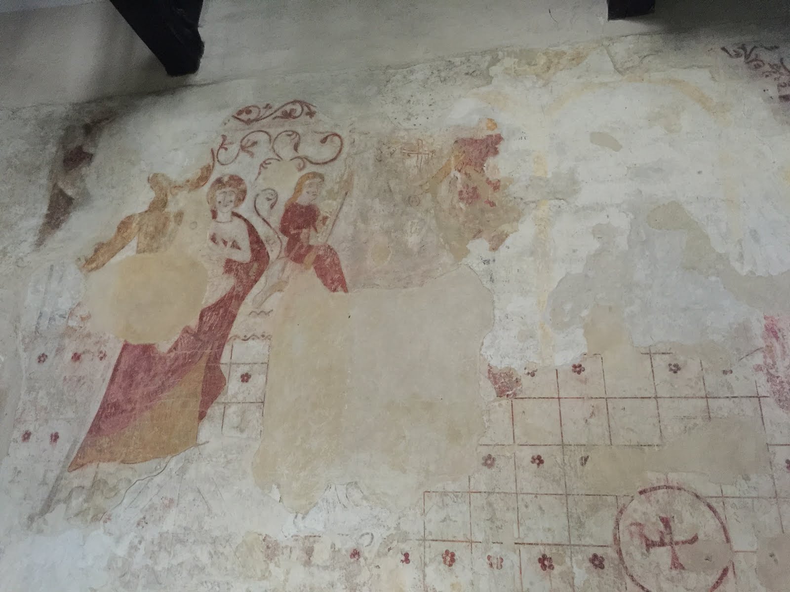
I tried the door and was delighted to find it open, and warm inside. The church dates from the 13th century and has a very old porch, and some medieval wall paintings, as well as a memorial window to Florence Nightingale.
The sky in the photo is deceptive - though it did stay dry from this point on.


We returned to Hackleys Lane, which was now called Broad Woods Lane. We followed it, didn't turn left at the road closed sign.
 This would have taken us back to Foxes Lane. Instead we  turned right and followed Dandy's Ford Lane as far as Wellow Drove.


We turned left along Wellow Drove and at the T junction left again along Scallows Lane, past Sunrise farm, and a load of huts and poly tunnel frames.  

The road crossed the Blackwater river again at Tutts Bridge, then we headed along Tutts Lane back to the Methodist Church. slab Lane and return via Brookfields...just as the rain started again.


The mile counting app had stopped, so I restarted it part way through the walk.

Monday, March 17, 2014

Marston Trussell and Clipston - footpaths and some roads.

Mon, 2014 Mar 17 9:33 AM GMT
Led by me, with Barry, Gordon and Maureen. Not cold, dry, some sun. Most paths drying up, though we also did some road walking. Just over 8 miles, including about a mile walking around Clipston.

They (the hours) pass by and are put to our account.
We go through the churchyard and follow the path over a field full of lumps and bumps - there was once a moat and it may be the place mentioned in the paragraph on the photo below, where bodies were buried after the Battle of Naseby.
We head for the footbridge, then instead of crossing the next field we walk round the edge, as the path is unclear.  We find our way out over a footbridge, with the footpath sign. Looking back we see the church.
We cross the road and decide to try the footpath opposite. It is not always entirely clear where we should go, but we make our way with the help of the signs, the map and Barry's magic grid reference machine.  We cross the Jurassic Way path and head uphill towards Twantry Farm. 

There's a tricky bit where the path goes through a hole in the hedge, but is unmarked, so we take the alternative route through a gate a hundred yards or so to the left. A bit muddy but we battle through. Then it's a matter of following the farm drive until a footpath leaves to the left and cuts across the field, cutting off a bend in the road.  A few yards of road walking take us to the Royal Observer Corps lookout. We make the short detour to explore this and are repaid with wide 360 degree views.


 Onwards - we take the footpath which leaves the road on our left, just opposite the ROC viewpoint. This leads us across a field which a fine example of ridge and furrow.  One more field and we are on the road just outside Clipston.
We walk along Chapel Lane, and make use of the steps for our break. I take a snap of Thomas Jarman's gravestone. Time to direct you to my own silly verses. 
 Time for a wander round the village, which has some magnificent old buildings
Free Grammar school and hospital, now the primary school

Another one-handed clock


Prince Rupert's Cottage 

Clipston church
My first intention is to use the footpath near Peg's Lane, but one route is across a very muddy field with a bull, and I can't see the other route, so we revert to the road out of the village, turning left along the Sibbertoft road. When we reach the turning to Marston Trussell (2 1/2 miles), we decide to take the shorter route along Dick Hill, past the woods, turning right just after Marston Lodge.

We go straight ahead when the road goes to the right to East Farndon, past the Lake.
We turn right at the T-junction and back to the church.  

Thursday, March 6, 2014

Marston Trussell, Sibbertoft, Clipston and back - minor roads.

Thu, 2014 Mar 6 9:31 AM GMT
Led by me with Gordon and Maureen. Almost 9 miles on minor roads - a little hard on the feet and legs! 483 ft of climbing. it was raining when we set off by car, but not a drop fell on us once we were walking.
Just to prove that the sun almost shone
From the church in Marston Trussell, we take the road through the village. When it bends to the right, we carry straight on past Marston Trussell Hall. We follow this road for a good mile to a T-junction.
We turn left almost opposite Hothorpe Hall, towards Sibbertoft. We follow this road for about a mile and a half, up a steep hill to a T-junction.  Here we turn right into the village of Sibbertoft, walking past the church and the war memorial and straight on until we reach a sign to Clipston (single track road).


Sibbertoft church

We walk along the road to Clipston. Part way along, there is a Battle of Naseby information board at the Moot Hill viewpoint .
The battle, on 14th June 1645, was a decisive moment in the English Civil War, when Charles I's army was defeated by Cromwell's New Model Army.  

After about a mile and a half a road to the left shows a signpost to Marston Trussell( 2 1/2 miles). We went on a little further into Clipston to find a place to sit for a break.
There's a rather fine chapel.

Near the chapel is a gravestone to Thomas Jarman, composer of hymns. There's some interesting information about him, in particular his quarrel with the local Church of England vicar here. After coffee and a scone, we retraced our steps to the signpost to Marston Trussell.

The road climbs up,and we can see the Royal Observer Corps look out with its flagpole. From here you have a great view of the site of the Battle of Naseby, though we're saving it for next time.

Later, we pass the entrance to the oddly named Twantry Farm. Our road goes downhill past some woodland, and at the bottom is crossed by the Jurassic Way. On the map this part of the road is labelled Dick's Hill. It must refer to the bit we've passed already, since it's flat from now on. The whole length of the road is about two miles. We reach a junction, and the drive to Marston Lodge Farm, with a pond.

Dick's Hill

At the junction we turn right towards Marston Trussell.  Walk about half a mile.This is the only part of the walk where we meet more than a couple of cars.
At the next junction, we take the left-hand fork. There is a fine view of Marston Trussell Hall from the Lake to our left.

At the T-junction, we turn right and back to the church.
Map and details


Thursday, February 27, 2014

Skeffington and Tilton Circular mainly on minor roads

Thu, 2014 Feb 27 9:30 AM GMT
Led by Barry, with me, Maureen and Gordon, along minor roads and tracks. Quite hilly. Fine, sunny, some wind. 9 miles give or take a whisker.713 feet of climbing.

We leave Skeffington at its west end, joining a track which turns north towards the A47.


Once over the main road we continue on Skeffington Glebe Road, past some phone masts and Glebe Farm buildings, heading north towards Tilton, to the accompaniment of some birdsong, and some distant barking dogs. The way ahead is not flat.
When we reach Tilton, we have a look round the church, light and bright, with plain windows.


An intriguing inscription here - wonder what the "embarrassment" was.
Think I'll have to get hold of the history society's booklet
Not quite a permanent inscription here


We are tempted by the thought of a coffee in Tilton, but it's too early, so onward we go taking the road north from the pub towards Halstead. We follow this past Marefield Spinney, and keep on the road past Valley View Farm and Red Lodge Farm. After this the road becomes a farm track and we meet the first mud of the day.

The track goes downhill, over a disused railway bridge and then a ford - which is just passable.

We head up a fairly steep hill and join Hyde Lodge Road at a field gate close to a junction of three roads.  
We turn right and walk along the road looking for somewhere to sit down for a break. We find a splendid stile with a view by the gate to Owston Lodge.
The stile


The view
We're invited to help out with some maintenance work if we've got a couple of hours to spare, but we decide we're much too busy and carry on past a disused quarry, now used for horse jumps.
Ahead of us is Whatborough Hill with its phone mast. In the garden of White Lodge Farm we see a bridge over no troubled water - no water at all.
We follow the disused railway through Tilton cutting, expecting it to be a better option than the footpath past Colborough Hill. It's actually quite wet and also blocked at one point, but with a scramble up and down the sides we find the way through.

When we reach the road we turn right - uphill, surprise, surprise - towards Tilton. At the first junction at Wood Cottage we turn left and follow a narrow road downhill for some time, through Skeffington Wood, and since what goes down must come up, we have to regain the height.  We reach a large stack of straw on the brow of what we hoped was the last hill, and realise that although we are level with Skeffington, the land dips and rises again.
Long distance pole vault required?
A last effort takes us back to the A47, and the car is not far beyond that.
e
An excellent walk, along quiet roads, and with enough mud to let us know we've been out. Just over 700 feet of climbing in all. Quite a workout.

Map and details