and occasionally rides a bike.
A word of warning. The walk descriptions are not detailed enough to guide you - please take a map. The batteries never run out, and you always have a signal. Oh, And don't take left or right as gospel!

Showing posts with label Jurassic Way. Show all posts

Saturday, July 31, 2021

Gretton - Kirby Hall - part of Jurassic Way

Monday 12 July - about 8 miles. 
A damp, rather muggy morning. I walked with Eddie and Norma. Kirby Hall - chat re peacocks - if they have young they are often predated by stoats.


We took the footpath near the data centre, but as it is very overgrown we reverted to the road.  


We turned right on to Gretton Brook Road and followed the bridleway and footpath.  We took the track right to Corby Road, where we turned right then very soon left. This track takes us over the tunnel and railway line.

I think I saw a marbled white in the field …will have to go back and see if another appears.

Finally we came back along Jurassic Way footpath which comes from Rockingham - about 8 miles - gentle in comparison to last week’s efforts.


Wednesday, July 25, 2012

Jurassic Way 10 - Fineshade - Stamford

We parked at Fineshade, and walked from the car past the café, and round the wood - south, then east, then north.  Some of the Jurassic Way signs are hidden away, so it's worth having a close look at the map.  We came out of the woods on a track leading downhill towards the A43.  On its way it passes an electricity substation, and as you reach the main road there's a small cemetery.

Cross the busy road into Duddington. Go past the pub, and in a short while take the first turning left down a steep hill.   


You pass some splendid houses before coming to St Marys Church.  The path goes through the churchyard.


At the other side of the churchyard we turned left, down to the bridge over the Welland, which marks the parish boundary between Duddington and Tixover, and the county boundary between Northants and Rutland.


Just after the bridge the path turns right into a field by the river.
There was a gate which someone had smeared with some kind of blue paint - we climbed it instead of opening it - at the hinge end, well away from the paint.


The path took us across a field and into a strip of woodland. We picked a shady spot to have coffee - watched by shading sheep in a nearby field.

We crossed another grassy field to the road to Tixover Grange, then turned right and walked along for a short distance. Just after the buildings of the Grange the footpath turned off through a hedge on the left,  cutting off the corner of the road. We crossed the road when we met it again on to a long straight path - over half a mile - beside fields whose edges were full of poppies and marguerites.  This took us almost to Geeston, which is almost Ketton.    The footpath has been diverted at this point, but is clearly marked and fenced off.  It continued along a narrow path behind some houses with huge gardens, until it met the road to Collyweston from Ketton.

We had to walk along the road for a few hundred yards, before the footpath turns off just after Collyweston Bridge.  It heads uphill, and was a bit of an effort in the heat!  After the third field we emerged on a track which becomes Ketton drift and leads into the village of Easton on the Hill.   We spotted the village shop and the Bluebell pub, and it was lunchtime.  Sandwich and a mug of soup for me and ciabatta salad and chips for Marta.
We ate heartily, and it was as well that we had only a couple of miles left to walk.


When we came out of the pub garden we turned along Church Street, past the footpath at Park Walk, as far as the church. The path now has three identities - Jurassic, Hereward and Macmillan Ways.   Shortly afterwards we turned right  and followed the path through fields and a small piece of woodland until we reached the railway - you're advised to stop, look and listen - though there's so much traffic noise from the A1 that the listening part is not easy.  Once over the railway lines you go underneath the A1.

We were close to the Welland again, and crossed it by Broadend Bridge. The path led us straight into Stamford Meadows, past the plaque at the spot where Boudicca/ Boadicea chased the Ninth Roman Legion back across the river in AD61.
Time to drive back to Fineshade for a reviving and celebratory coffee, and we can say that we've walked the Jurassic Way.

Map and details

Wednesday, July 18, 2012

Jurassic Way 9 - Fineshade to Gretton

With Marta - 11 miles. Started fine, until we reached the road near Harringworth Lodge, then buckets of wet stuff.


We began by thinking we'd not do a decent walk today - forecast wasn't good. So we took one car to Fineshade and started the activity with a cup of coffee. Kick-start caffeine style.
It felt warm and there was no rain, so we decided we'd start off doing this leg in the reverse direction from the rest of our walks, with the proviso that we could retrace our steps if conditions didn't seem good.


From the car park we took the road downhill past the main block of buildings and over the bridge.  There was a footpath sign leading us over the field - downhill at first, then up into the woods. Lots of pink poppies were blooming here.  A right turn through the strip of woodland, until the path emerges into a field and then an enclosed path above Fineshade Abbey.  As ever their flock of Jacob's sheep were grazing. 


Downhill to the footbridge and across the final field to the A43.  Across the road and along the path to Laxton Hall, turning right at the second gate, crossing a field, climbing a stile, crossing another field and entering Wakerley Woods.   Here the path goes more or less north-west, though there are a couple of kinks and the Jurassic Way signs are not always obvious. It's as well I know this part of the route by now.  The path joins a wider track which takes you to the main entrance to Wakerley Woods from the road.


I went wrong on the next bit - I decided to follow the way-marker instead of walking a short distance along the road.   However once we'd set ourselves right we followed the road for a short distance and then took the path through the hedge - quite overgrown this year and  round a field behind Wakerley Church.  We saw masses of wildflowers - from tiny violas and speedwell to scabious and white campion.


The path comes out next to Exeter House - the old pub, now a private residence.  Here we turned left and walked along the road past the junction to Barrowden, until we reached a sign post for Jurassic Way to Barrowden on the right hand side.


The path goes down to the Welland, crosses over a footbridge and climbs slightly to Barrowden emerging near the old mill and mill-pond.


We called in at the Community Shop for a sandwich and soft drink, then walked through the village, past the pub and duck pond, to where the road divides. We took the left hand fork, then turned left to a footpath over a stile and across a field to our right.

The path was clear and easy to follow downhill and along to the south west. After a few fields we arrived at a wider track. We turned left along this to cross the Welland at Turtle Bridge.
The Welland looks full at Turtle Bridge
 We had expected it to be very soggy near the river, but it was nowhere near as bad as we anticipated.  The path turns right and follows the river along the edge of two large fields, before heading south across the third field. Once again the path was clear to see and easy to walk.  We met the road between Harringworth and Wakerley, crossed over and walked through Shotley - really just a few houses and a farm, where building work was in progress.
The footpath has been diverted - an improvement, especially while the work is being done.


We climbed part way up the hill, and took a break just before a hedge. Well-timed, as five minutes after we set off the heavens opened big-time.  I haven't been quite so wet for a year or so.  

The path emerges on to the road between Harringworth and Laxton, and we picked it up again slightly to our right.  Once again it was clearly marked and took us over a couple of fields to Harringworth Lodge.  You skirt this house by turning left just before the tennis court, then right to join the drive past the house and the fox weathervane, down to the end of the lake.  Turn right again along the side of the lake and follow the Jurassic Way signs until you reach Gretton.


Map and details

Friday, June 29, 2012

Jurassic Way 8 :Cottingham-Bringhurst-Gt Easton-Rockingham-Gretton

This is the same route as this walk from September 1st 2011, but we started from Cottingham, and picked up the Jurassic Way on Mill Road after the school and playing field.
The footpath hugs the edge of the playing field, before going along between hedges and emerging at the junction of a road and a track to the right, marked on the map as "Occupation Road".  We followed this over a bridge across the Welland. 


There is a left hand bend and before long a footbridge where we turned right to head towards Bringhurst high on its hill.
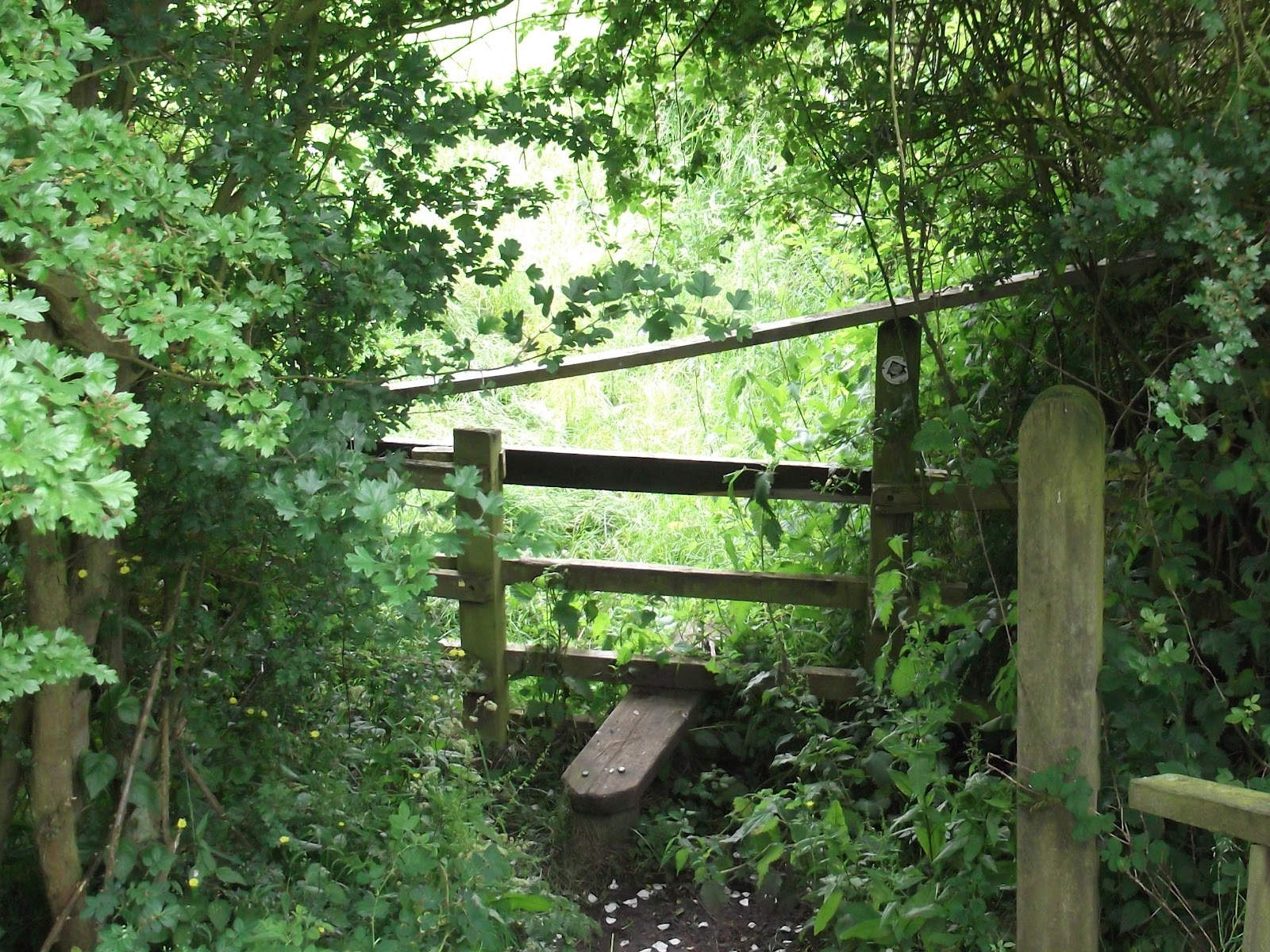
This stile is not very welcoming with the extra crosspiece!

and this way marker isn't very clear

Three fields of overgrown wet oilseed rape up to Bringhurst
The section from the dismantled railway and through the fields to Bringhurst was very hard work, and we ended up soaked, even though no rain was falling.
Looking back from the edge of Bringhurst

 From Bringhurst, we turned turned right at the road junction. A couple of hundred yards down the hill is a footpath sign to the left, and the path goes round the hill, below the site of a Roman villa, and then behind Bringhurst primary school and across a couple of fields before reaching the road at Great Easton.  

Possibly the oldest cottage in Great Easton

Turn right and over the stream, following the road to the centre of the village.  Turn right at  the Sun Inn, and continue along the road towards Caldecott, past a house with horseshoes on the wall.
A little farther on there is a small cemetery with the graves of the Cave family. After this we took a track to the right, with recycling banks at the start. The track leads across the dismantled railway and behind some buildings, across a footbridge over a stream, and then a bridge over the Welland. 
Just after crossing the river, you turn left and go through a hedge to follow the path between two hedges. This leads to the road between Rockingham and Cottingham.
Slightly to the left across the road is another footpath sign.

The path takes you thorough a couple of fields and gates to Rockingham's cafe and shop, where we stopped for an early lunch.  We sat outside, although there were a few sudden gusts of wind.   The path emerges on to the main road by the Sondes Arms.  
We went up the hill, and turned left at the sign for the footpath to Gretton.  This goes to the right of Rockingham Landrovers yard.  We went through two gates, then diagonally down the field.  From here it was mostly a question of following the path, keeping a look out for gates, and avoiding the path which crossed our route.
From West Hill, Gretton, looking over the Welland Valley

More changeable June skies
The walk ends with the steep climb up West Hill and into Gretton.


Map and details

Wednesday, June 13, 2012

Jurassic Way 7 - Braybrooke to Cottingham


Braybrooke Church seen behind the site of the castle
The path leads under the mainline railway
The Jurassic Way goes behind a plant nursery, and through paddocks
then leads uphill through a wheat field
This bridge is rotting, but there may be a gate nearby.
The woodland is on our right. Over to the left we can see Brampton Ash Church
We had to walk through a corner of Stoke Wood
In Stoke Albany
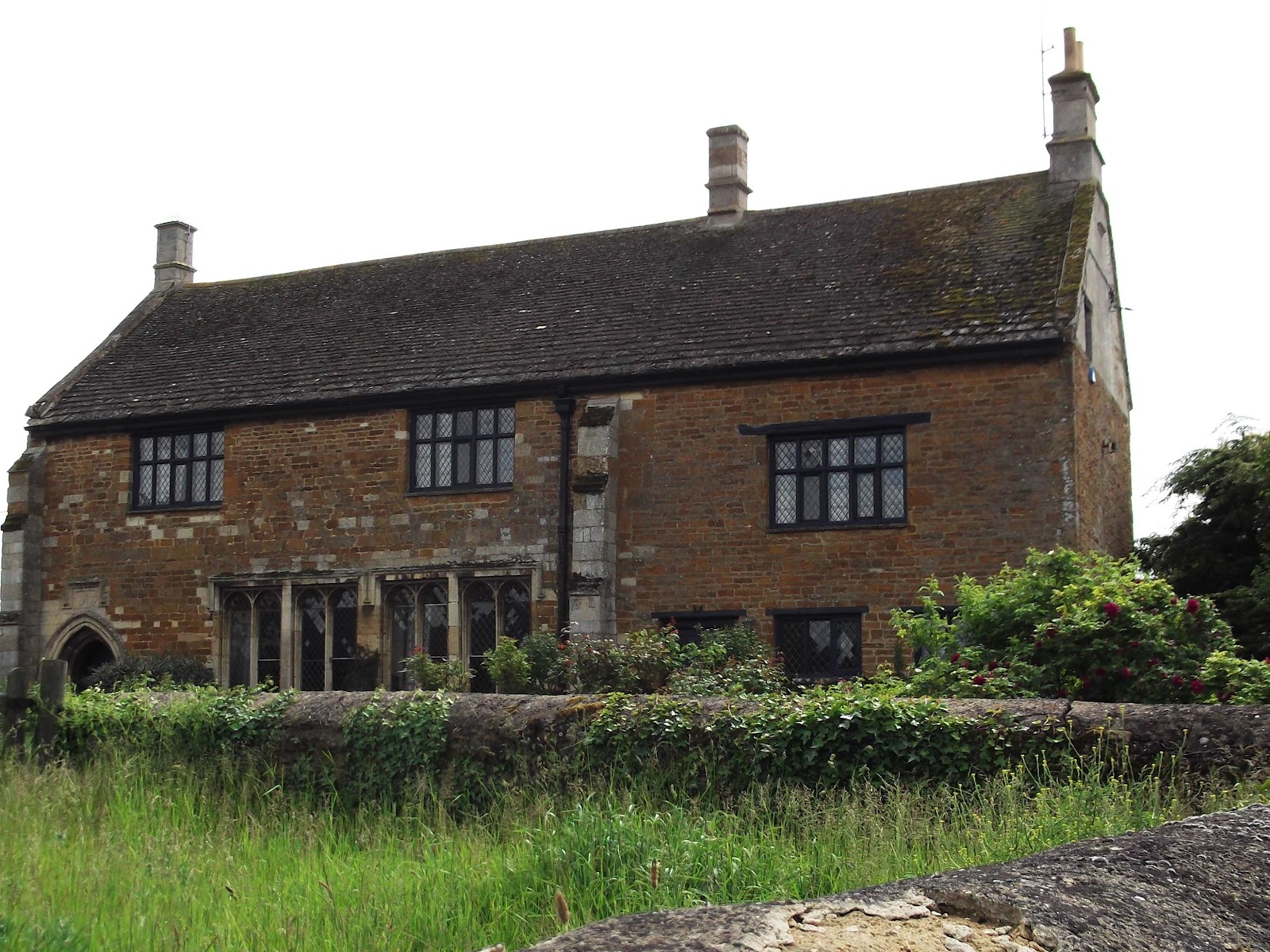
Manor House


Remains of moat

Saint Botolph's church, Stoke Albany

Wilbarston Church

Map and details