and occasionally rides a bike.
A word of warning. The walk descriptions are not detailed enough to guide you - please take a map. The batteries never run out, and you always have a signal. Oh, And don't take left or right as gospel!

Monday, July 31, 2023

Wakerley Woods to Laxton and back.

 Monday 31st July with Norma, Maureen and Kate.

From Wakerley Wood we took the main path, then followed the Jurassic Way until it crossed the path heading north east to Fineshade and south west to Laxton. We took the right-hand (south west) turn towards Laxton Hall which we could see clearly ahead of us.


Chicory


Laxton Hall

This path is pretty clear, though a little more signage near the hall would help. It was easy enough with the OS app on my phone.

From there our path continued in more or less the same direction into the woods (Town Wood on the map).
As we emerged from the wood out route turned slightly south east, and we went on by a series of dog leg bends.
Great sign when you find it…not much use from across the field.

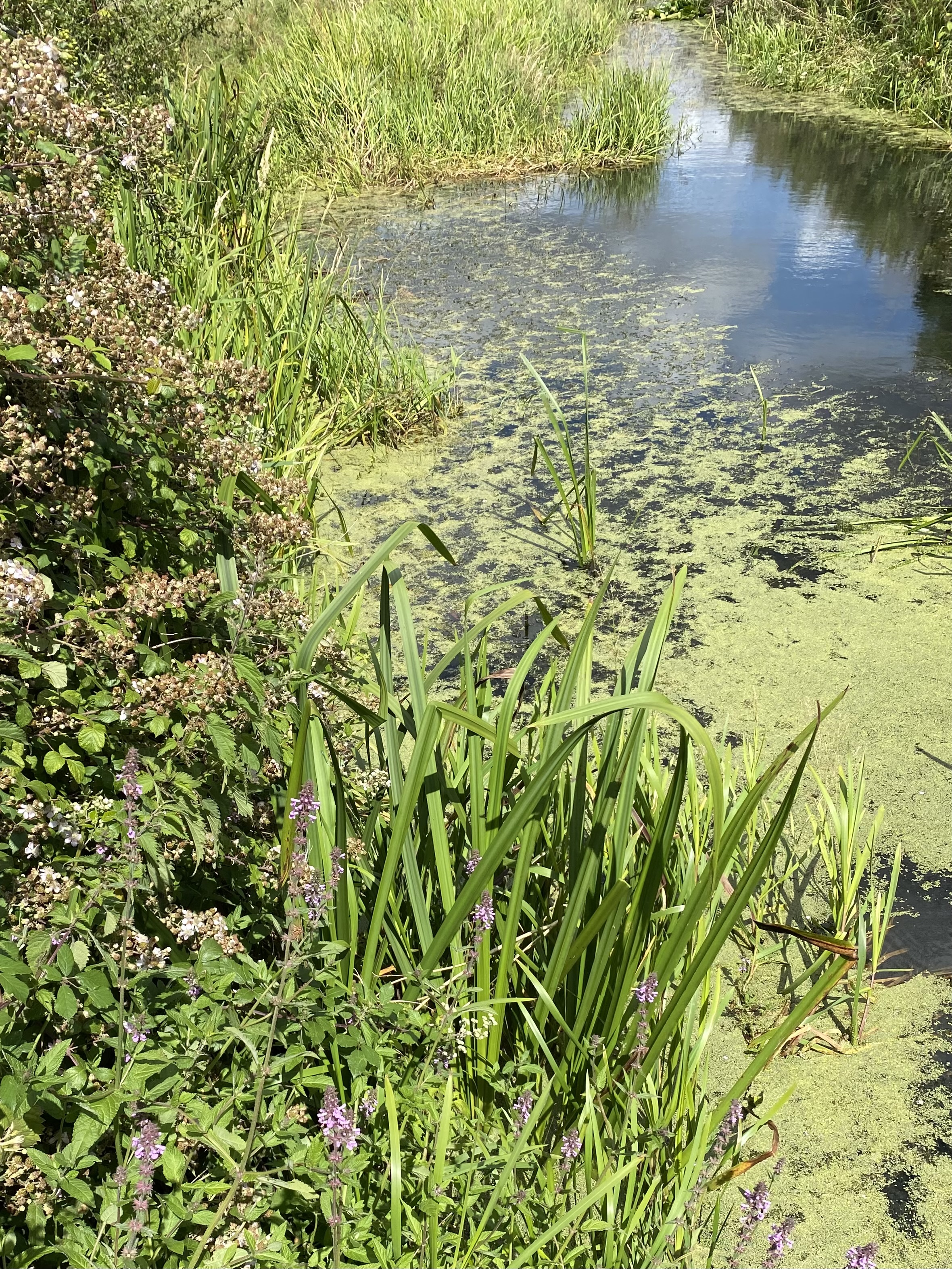
 The signage was either not clear, or overgrown, so we had to correct our route slightly, before going through a short wooded section. After this we kept a hedge to our right and arrived at the eastern end of Laxton, through an overgrown section between houses.
overgrown?

We turned right along the road and walked another three quarters of a mile to Spanhoe Lodge, where we indulged in welcome coffee and teacakes. 

Our route back was slightly different and shorter. We walked back to Laxton village to the western end, where we took the footpath just inside the gate to Laxton Park.


This heads north into Town Wood and joins the main path. We turned right, and followed the clear track, east then roughly north east and back to the car park.
unknown fungi

hemp agrimony


A lot of meadow brown butterflies around, but nothing much else. Lots of flowers including chicory, hemp agrimony and evening primrose. 
A very satisfying walk - around 7 miles in all, and no rain until we got back to the car.

Tuesday, July 18, 2023

NORTHANTS - JULY 2023 Irthlingborough Church to Rushden Lakes and back

 Monday 17th July 2023.

With Maureen and Norma. We drove to Irthlingborough, parked near church, and walked via the  Greenway to Rushden Lakes in time for coffee at Bewi*ched.  


We saw swans, a few ducks, a moorhen, dragonflies, damselflies, plus butterflies - meadow browns, red admirals, whites and one comma. 

There were a number of plants and the blackberries are looking promising, so long as they get enough sun and rain.


A 5.4 miles saunter…with a very long coffee stop in the warm sun.

Tuesday, July 11, 2023

NORTHANTS - JULY 2023 - Stanwick Lakes

 With Marta. A five mile stroll, with pauses for coffee and lunch at the Visitor Centre.

Lovely to see groups of school children around the place, pond dipping and other activities. 

I was impressed by the Heritage Garden, which I hadn’t seen before.


I’ve not seen one of these before and it amused me, though I guess it comes in handy !
The medlar - according to a wikipedia entry’ “ In the southwest of England it historically had a number of vulgar nicknames, such as open-arse and monkey's bottom, due to the appearance of its large calyx.”


Monday, July 10, 2023

LEICS - FOXTON to Bowden Inn Farm roundabout

 Monday 10th July 2023

With Norma and Maureen. Seven miles, almost entirely flat. Good weather - dry and not too hot. Very similar route to this walk a year ago.


We parked at the upper car park for Foxton Locks and walked along the eastern side of the canal, pausing for a look down at the inclined plane, then walking past the Museum and down to the Foxton Locks Inn, then the shop and pub/cafe at Bridge 61.


The actual bridge is known as the Rainbow Bridge.

We agreed to indulge in an early coffee before following the route of the Leicestershire Round through the village


and across fields, firstly meadows, and later cornfields. 


When we reached the B 6047, we turned left and exercising patience and care crossed the roads near the roundabout in search of more coffee and something to eat at the local McDonalds. Actually the spicy veggie wrap wasn’t at all bad.

Then we returned to the B6047, and continued for a short while along the Leicestershire Round path. The section from the road has been severely overgrown in the past, but today was pretty well clear, though I did use my secateurs to remove some trailing brambles and one or two pieces of higher level vegetation. 

We left the Leicestershire Round at the first ‘crosspaths’ we came to, and turned right towards the Pears chemical factory by the canal. 


From there we crossed the road and joined the Harborough Arm of the Canal again.


We followed this all the way back to where we began the walk.


A leisurely wander today, with sightings of house martins, and plenty of white butterflies, plus small tortoiseshells and one or two other butterflies which were flying away too quickly for me to identify. One family of swans, and a few mallard females were the only waterfowl in evidence.

Friday, July 7, 2023

PEN LLŶN - JULY 2023 Yr Eifl

Tuesday 4th July

We left the house soon after 9, as we planned to walk Yr Eifl and weather was forecast to deteriorate later. In the event it has been fine all day.
An excellent walk - around 6 miles and 1500 feet of ascent and descent, some of it very steep, and some of it a bit of a scramble.
From Bwlch yr Eifl looking down on Nant Gwrtheyrn Welsh Language Centre

We began with Carn For, (Garn Fôr, Mynydd Gwaith),

which involved a clamber over boulders behind a radio mast enclosure,

but rewarded us with fantastic views over the peninsula


and Eryri/Snowdonia, though the higher peaks were attracting some cloud over there.


We found a slightly easier way down, and used the concrete staircase for part of it. Just below this we chatted to a couple about Llŷn and the Welsh language.  By now it was coffee time,  so we found a spot out of the wind to fortify ourselves with coffee and bara brith.
Onward with purpose


We could see the next section of our route, across the Bwlch yr Eifl path, and then up very steeply and directly to the top of the highest peak Garn Ganol, 564 meters high, or 1850 feet.  Mostly straightforward if steep, and again some boulder scrambling at the top.
We ‘capture’ Carn Canol

There were quite a few people up there.  Brilliant views again, and well worth the effort. The theory appears to be that the trig points A4H sculpture was put there by a local blacksmith to mark an unconsummated love affair. But, who knows? 
Looking back to Carn Fôr


From there we followed a decent path towards our next objective the iron age hill fort of Tre’r Ceiri (The settlement of the Giants).


Past the cows in the boggy section

Incredibly I’d never heard of this - supposedly one of the best preserved in Europe.


After a wander around we had lunch in one of the roofless ‘huts’.  On the way down we made a slight detour to an outcrop/ fort known as Caergribbin.


We headed across the hill and back to the car park .

Around 6 miles in all, and a really good walk.


We stopped at Ty Coffi in Nefyn,
A drop of goodness in every cup

and picked up a bit of shopping, (samosas, pakoras and veg) then back to base.