map and details
With Barry. 9 miles - fine warm and sunny. Lovely day for walking.

We arrived before the main car park at East Carlton was open, and set off past the café and across the field between the café and the pond.
We went down to the path (Jurassic Way) running along the lower edge of the park. We turned right and followed the path until it emerged opposite the Red Lion. Next we turned right and then left up a steep hill, past some houses with a magnificent view over the valley. A gate leads to a narrow path which took us to the church, then down some steps into Church Lane.
At the Spread Eagle we turned left and walked down the hill to the road junction.
We took the Bringhurst Road, and walked past the primary school until we came to a gate on our left, with a footpath sign half hidden in the hedge. The footpath hugs the edge of the playing field, and emerges at the junction of a road and a track to the right. We followed the track over the Welland and round a left hand bend and as far as a footbridge where we turned right to head towards Bringhurst high on its hill.

The path leads across a dismantled railway line with steps on each side, then over another footbridge and across two cultivated fields, one fairly flat, the other a steepish hill.
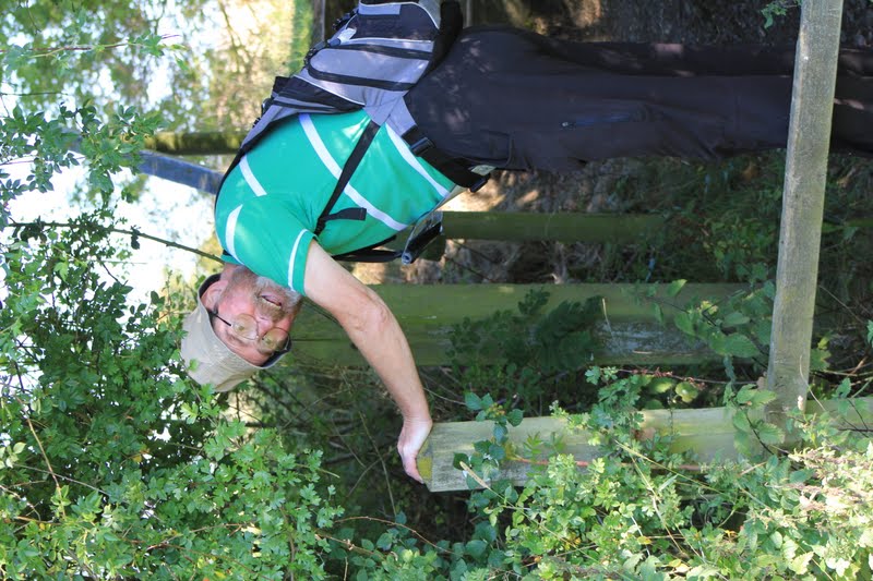
After picking a few blackberries we crossed a smaller grassy field and climbed over a stile into Bringhurst village.
We passed the church and a few cottages, and turned right at the road junction. A couple of hundred yards down the hill is a footpath sign to the left, and the path goes round the hill, below the site of a Roman villa, and then behind Bringhurst primary school and across a couple of fields before reaching the road at Great Easton. Turn right and over the stream, following the road to the centre of the village. Turn right at the Sun Inn, and continue along the road towards Caldecott, past a house with horseshoes on the wall, and a small cemetery with the graves of the Cave family. After this we took a track to the right, with recycling banks at the start.

The track leads across the dismantled railway and behind some buildings, across a footbridge over a stream, and then a bridge over the Welland.

Just after crossing the river, you turn left and go through a hedge to follow the path between two hedges. This leads to the road between Rockingham and Cottingham.
Slightly to the left across the road is another footpath sign.
The path takes you thorough a couple of fields and gates to Rockingham's cafe and shop, and out to the main road by the Sondes Arms.
We went up the hill, and turned left at the sign for the footpath to Gretton. This goes to the right of Rockingham Landrovers yard. We went through two gates, then diagonally down the field. From here it was mostly a question of following the path, keeping a look out for gates, and avoiding the path which crossed our route.
more to come . . .
No comments:
Post a Comment