and occasionally rides a bike.
A word of warning. The walk descriptions are not detailed enough to guide you - please take a map. The batteries never run out, and you always have a signal. Oh, And don't take left or right as gospel!

Tuesday, November 22, 2016

Along the Roaches

With Harry. Saturday 19 November. Very cold and windy, snow on the ground, sun in the sky. Some very boggy sections on lower footpaths, but a very satisfying walk all the same.
About 8 miles, with about 1000 feet of ascent, to a high point of around 1657 feet (505 meters).

When we woke up on Saturday morning there was plenty of snow on the ground, and the moon was playing hide and seek through the mist. After breakfast the mist had gone, and there was a hint of sunshine. 

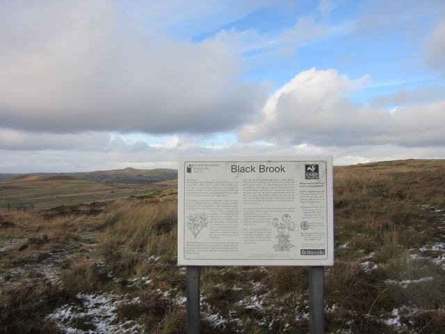
We were staying at Anroach Farm, and set off along the drive/track, then turned right along a boggy footpath.


Clouds mimicking the shape of the rocks

A hardy horse

Across the boggy path
We headed southwest toward Gib Tor Rocks. 
From the rocks we followed the road west to a junction where we took the track to Moss End farm. Just before the farm our path branches off to the left going downhill between two walls. It was very muddy - not great!  When we reached the valley we found the footpath sign "To Roach End" - but still the conditions were not easy.
Onwards and upwards
We crossed the brook and climbed gently up to Roach End, (403 meters high)  where we met the road, crossed over and began the walk to the summit (505 meters). This part of the walk was cold and windy in parts, but underfoot conditions were much better, and the views were magnificent, with Tittesworth Reservoir to the south, and the dish of Jodrell Bank Observatory to the west on the Cheshire plain.
Tittesworth reservoir
 We even found a sheltered spot behind a large rock for our coffee break. 
Plenty of people up here on such a fine day to be out. There's parking space at the other end.
Up on the ridge is Doxey Pool - I was not tempted to dip my feet in today!
Legend has it that this pool is inhabited by a mermaid called Jenny Greenteeth , also known as the blue nymph. She fell in the pool on a foggy day whilst walking along the top of the Roaches. Ever since that day she has been enticing unsuspecting victims down to the pool and to their watery grave. . .


Looking down southwards

From the southern end of the Roaches
We passed groups of rock climbers, groups of walkers and the odd group who didn't look quite prepared for the conditions and were finding it tricky. If you wandered from the path the terrain was pretty rough and steep. 

Once on the path the way down to the road was straightforward. There is a tea room about half a mile towards Upper Hulme but we didn't visit it today.  
Hen Cloud - to the south of the Roaches
Instead we decided to head back following a footpath north and slightly east which meets a minor road where we turned right. We passed a couple of footpath signs and another road joined us from the right. At the junction with yet another road, near Newstone Farm we picked up a footpath which took us pretty well north all the way to Gib Tor Farm.

The terrain was rough, and boggy in places, but I have rarely met a patch as boggy and impossible to avoid as the last few yards before we reached the road at Gib Tor Farm.
Luckily it was less than a mile back to base from there, but it has taken two days for my boots to dry out! I'd do it all again, but would take spare socks next time.


6 comments:

Simon Douglas Thompson said...

It's lovely...I so need waterproof boots!

aliqot said...

Mine leaked! And I've only had them just over a year. But it's a fabulous walk.

Ida Jones said...

Wonderful countryside for you two intrepid explorers to enjoy! Great profile pic of Harry too!

aliqot said...

The Peak District is one of my favourite areas! But the bogs are . . . well, boggy!

Roy Norris said...

Some good landscape shooting here Alison.

aliqot said...

Thanks, Roy. I think you're bound to get some decent shots in that area with the sunlight as well!