Monday 03 June 2019. A walk from Tilton with Norma. Sun, showers in the sky. 8.6 miles It would have been around 8, but we had to dodge a few crops, and went wrong just before the end. 500 feet of ups and downs.
We set off around 9.30. From Tilton we took the Maresfield Road and forked right to follow road past Red Lodge Farm. It turns into a track and heads northeast to a T junction with Hyde Lodge Road. We took the road ahead for a very short distance, and at a right hand bend, we continued along a track straight on. When a bridleway crossed our route we turned left past Owston Lodge Farm and White House Farm. At White House Farm we turned left and after a few yards took the path to the left of the Farm fence. This led over fields - the path has not yet been made good, although there are waymarks, if you can spot them.

 The first field was ok, we skirted round the edge of the second one, and in the third one followed tractor tracks in roughly the correct direction! This brought us out at waymarks and the path going under the left hand arch of the viaduct.


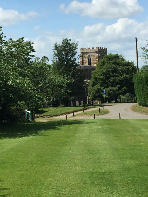
Almost four miles walked, and after the last fields we thought we'd earned a break. And behold, a convenient golf club...


Afterwards we followed the path with the field boundary on our right, to come out on the Twyford Road. We passed a calf wearing the skin of another one - I didn't realise this was done with calves as well as lambs.


At the road we turned right, and in 200 yards or so took a footpath to the left. This leads close to a farm called Lowenva Lodge. We should have turned left again at the first field boundary, but instead followed a path straight ahead. There are some more fields of crops and we ended up having to make our way back to put ourselves on the correct bridleway route again. It's a good job we have suitable phone apps to help these days! Without too much trouble we made our way to the Melton Road, crossed over and in 200 yards or so took Lowesby Lane to our left. When we reached Lowesby we had another short pause on a welcome bench near the large village green, with phone box and old pump.

A little further on we turned right along the footpath towards Tilton. This section covers the same ground as the walk I did last Monday, through a couple of fields, and along a grassy track enclosed by hedges, before descending to the old railway station (Springfield Farm).
We walked along the farm track uphill past Springfield Hill. For most of the way we kept on track, but shortly before Tilton we missed a turn and headed off too far to our right.
 We had to retrace our steps and pick up the correct route. It may have added almost half a mile to the walk. Not what you want at the end!
 |
| The old signal box |
 |
| The old Lowesby station |
 |
| an encounter with some noisy guinea fowl? |

Still, we eventually came out on Digby Close and made our way back to the car, before heading to Buttercups Tea Room for a welcome lunch.


No comments:
Post a Comment