Thursday16th May
As planned we headed out to walk up the two hills close to Auchencairn - Screel (344 m/ 1126ft) and Bengairn (391m/ 1283 ft)
A grand day for walking, though the views across the Solway were still fairly hazy.

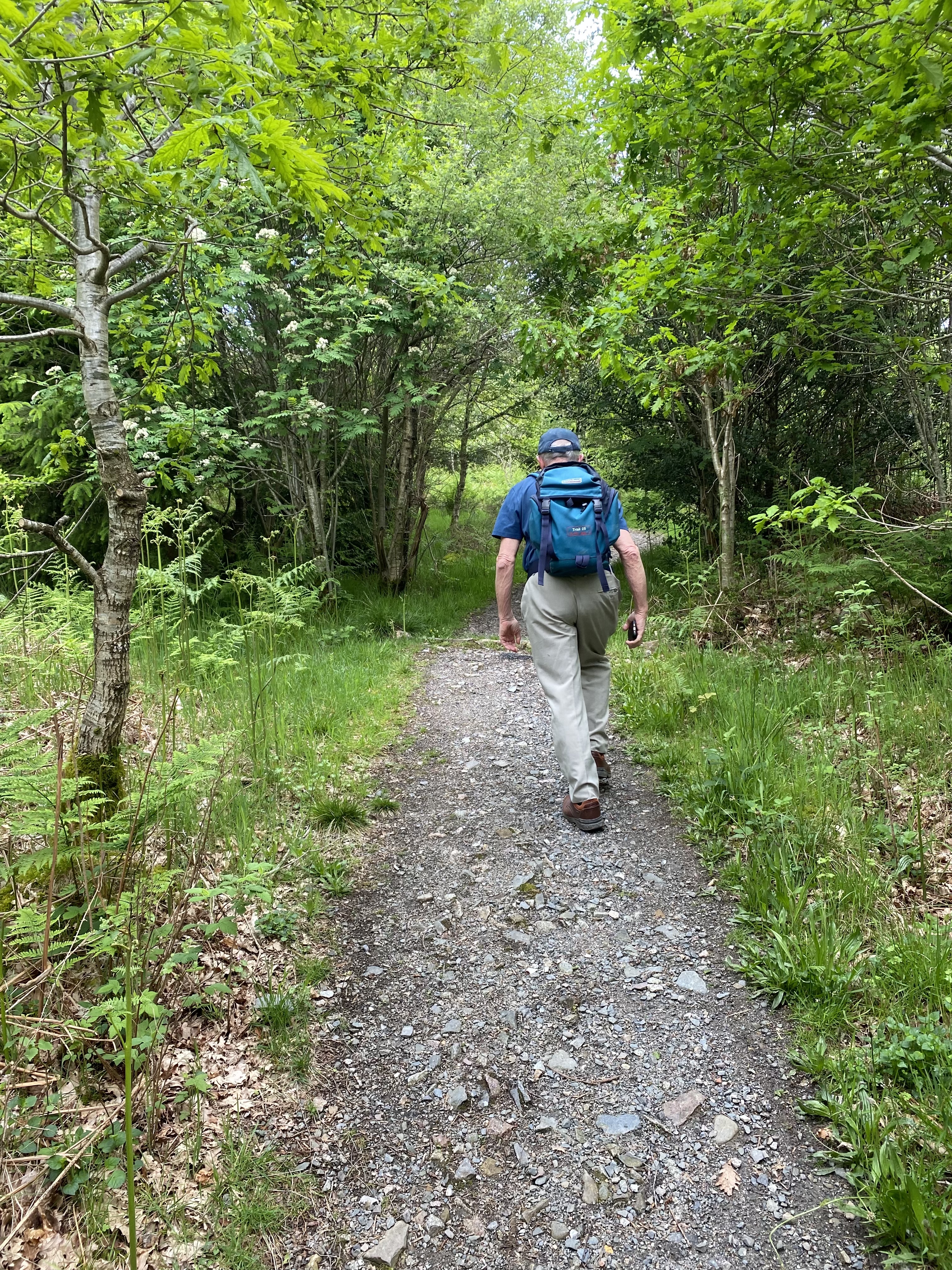
We soon met a diversion which we clever-arsedly ignored,

only to find the way seriously blocked by fallen/ felled trees. We had to retrace our steps and lose a serious amount of height, then continue on the longer gentler uphill path. The top section of Screel Hill is quite steep and rocky.

Up at the top was a woman with a dog.
After a short boggy and rocky trek over to the second summit, we had our coffee and half a large scone from Auchencairn’s shop.

Fabulous views over the Solway, with the wind farm visible and the Cumbrian coast coming in and out of the haze. Plus a few scattered spots of rain.
We chatted to a couple from Staffordshire and warned them that the direct route down was not a good idea!
From now on we saw no one for the rest of the walk… until very close to the end.
We tried to follow instructions from a guide, but missed a turn. luckily we had maps and the OS app.
Over the next long mile or so there was no sign of a path as we followed a drystone dyke, through rough bog. One of the hardest walks we’ve done in a while. But ‘t would have been as hard to go back as onwards at this stage. Eventually we crossed the wall twice and headed, still through some boggy patches for the highest point of Bengairn - not so bad once the cairn was in sight.

Once again we were rewarded with wide views in the always changing light.
We lunched at the cairn, then made our way down - still tricky, as there is no clear path, but heading towards the track we could see below, and negotiating the steep slopes.


As the guide said, we crossed a footbridge, went through a kissing gate, and along the track ( full of flowering broom) for a good mile or more, through a field of cows, which ran away from us, and back to the car.


One of the toughest walks we’ve done for some time. Just over 8 miles, and around 1,500 feet of climbing.
In the evening we walked the mile and bit down to the shore near the cottage, where Harry spotted another red squirrel.

No comments:
Post a Comment