and occasionally rides a bike.
A word of warning. The walk descriptions are not detailed enough to guide you - please take a map. The batteries never run out, and you always have a signal. Oh, And don't take left or right as gospel!

Showing posts with label Somerby. Show all posts

Sunday, December 8, 2024

Pickwell walk, in reverse.

 Tuesday 26th November, with Harry.

In the afternoon we went out to Pickwell again,

Still plenty of colour


Frost on the grass in shady places


and did the walk from November 13th in the other direction, wearing wellies thus time - just as well since the ground was pretty muddy, especially the bridleway at the end. Hard work plodding uphill through sticky mud.  

Fab sunset again. 


Friday, November 15, 2024

Pickwell, Cold Overton, Somerby

 Wednesday 13th November 2024. With Harry, just under 5 miles. 

Pickwell church

After lunch we went out to Pickwell, and did the circular walk to Cold Overton and Somerby. We set off at 3pm, returned to the car just before 5. 

A varied walk - the first part between Pickwell and Cold Overton undulates along a bridleway with views over the countryside,


including a glimpse of the windmill at Whissendine.

The windmill, not very clear, in the centre


leaving Cold Overton

The second part was flatter through attractive deciduous woodland


with views of the sky as it glowed onto sunset, and then open meadows where we met some friendly sheep 


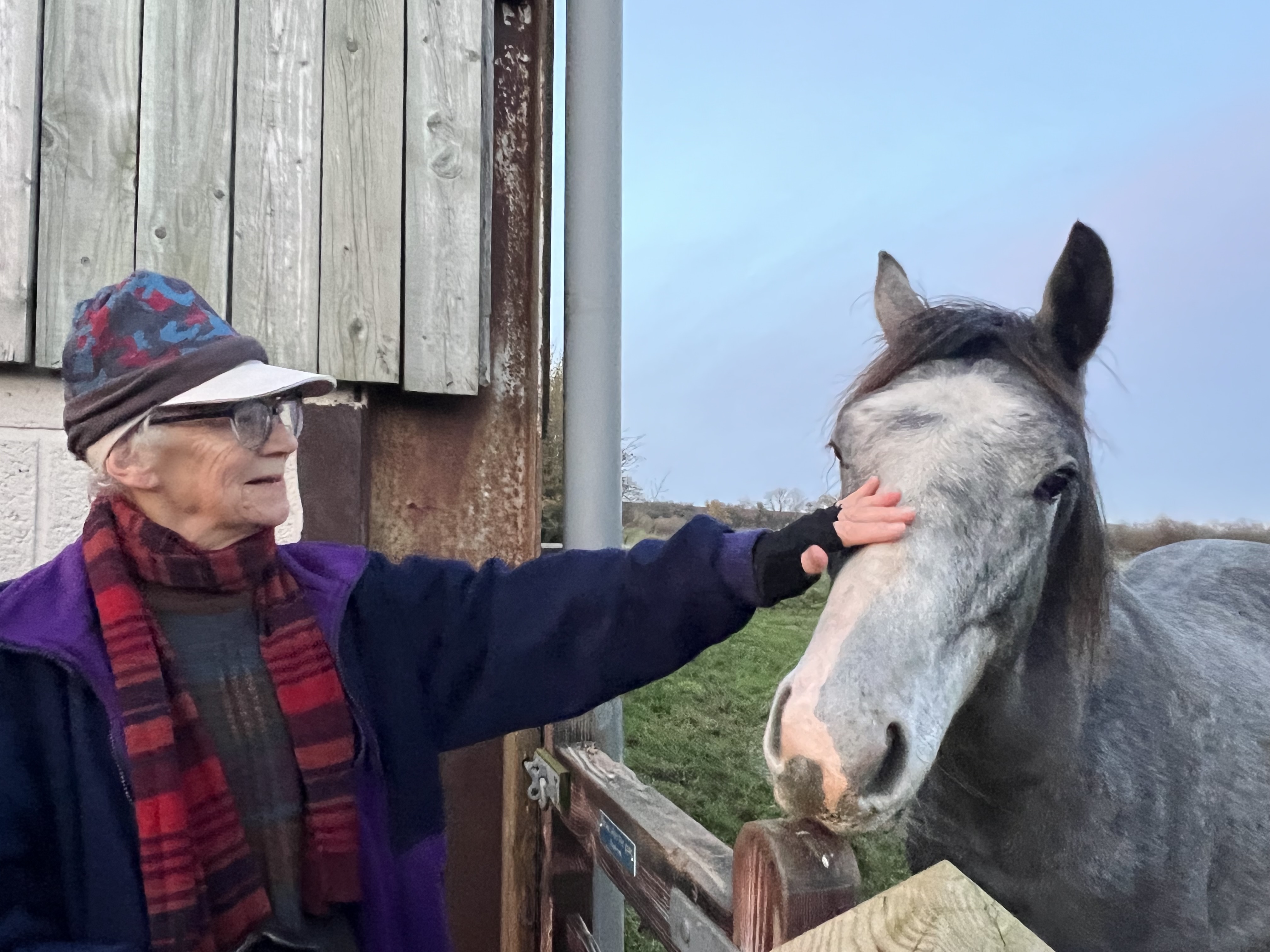
and a friendly, though not insistent horse.


Lots of stiles between Cold Overton and Somerby.

As usual Leicestershire’s way-marking was excellent - the yellow posts are generally clearly visible.


Across the ridges and furrows close to Somerby

There was a glorious sunset, and the moon was close to full..


We walked the last half-mile or so as darkness fell. The road from Somerby to Pickwell has an excellent pavement for pedestrians. 


We celebrated with coffee and ginger biscuits back at the car before returning home.


Wednesday, July 3, 2013

Leics Round 10 - Burrough Hill to Launde Abbey via Owston and Withcote


Wed, 2013 Jul 3 9:36 AM British Summer Time
With Marta. Fine day, cloudy and warm - muggy even. Muddy in little Dalby Wood, muddier in Owston Wood. Quite up and down - 528 ft of climbing. 8 miles and a bit. 

Marta picks me up at Launde Abbey, and drives to the Burrough Hill Car Park - the pay machine is working again now!  After a couple of hundred yards along the farm road we take the first path signed to the right, heading north  across a couple of fields where a farmer on a quad bike was herding sheep - with the help of a dog as well.  
I'm familiar with the route from a previous walk, so we walk along the edge of the second field, then downhill to the Dalby Woods Path, which goes east - fairly muddy as usual, and I realise I've left my trekking pole in the car.  

We avoid turning right or south at the gap ion the trees, and continue successfully along the Leicestershire Round path, uphill and climbing the two sets of steps to the ridge.
Looking back from the top of the steps
The route ahead has been made good, and it's probably the first time I've followed its line according to the map - a couple of times it's been much easier to use the edge of the field.
A clear path ahead
The route is clearly marked and clear on the ground all the way into Somerby. 
Guard dog in Somerby
 We walk through a narrow ginnel into the village, and just opposite is Manor Lane - no LR sign, but this is the way.  The first sign is when we arrive at the end of the road. 
The view towards Owston

We walk up a narrow track between two fields, all clear and easy walking - but it's time for our break as we top the next small ridge. 


We carry on down hill through three fields, keeping the hedge on our left.  We cross the stream using a footbridge. We turn right along the stream to the corner of the field, then walk uphill. We follow the waymarkers - there's a memorial bench in the corner of one field. Our path is clearly marked until we reach the road, at a bend.  We turn left here to walk into Owston.  
I'm rather taken with some curved brick walls and a kitchen garden.
 

We glimpse the church through the houses.
We ignore the road to Lowesby, and then the Knossington Road,  and carry on along Main Street as far as the Tilton Road. We pass an old pump and then a well in a field.

We turn right along the road to Tilton, then left along a path to Withcote after about 100 yards.  This is well marked, though you could be confused by other marked paths.  We follow flattened grass paths which take us through fields and eventually to the way into Owston Woods.  The path through the woods is straight and clear, but, as usual, very muddy.

Walking in the footsteps of giants?
We try leaving the path, but it is not much of an idea!  Still, my feet stay dry, though the boots are muddier than for some time.  Last time I walked this was after snow.

When we come out of the wood we think of having another break, but in this muggy weather there are too many flies around - we give that idea up and head downhill towards Withcote.  Last time I was here there were horses everywhere - no longer.  We decide to go and investigate the chapel, which is looked after by the Churches Conservation Trust. 
Withcote Chapel

As we pass the Hall, we ask the owner, who's outside gardening,  if it's ok to go and have a look.  She assures us that it is "But be careful - you could get roped in to help".
Two volunteers are giving the place a bit of a spring-clean, as there will be a service there in the near future - something that happens no more than once a year or so. They're very helpful and informative, ply us with leaflets, and even offer us a cup of tea, though we need to get moving by then.


We go back to the LR footpath, through the farmyard, then divert briefly to have a peep at the lake, where there is a swan family and other water birds.


Then it's through the gate, aim for the top of the hill, down the other side, over the footbridge, up slightly and down towards Launde Abbey.  Once again, I recommend their baguettes with salad and coleslaw, and the coffee or tea - £1.50 for a pot - three cups at least.


Map and details

Thursday, February 28, 2013

Burrough Hill

Burrough Hill-Little Dalby-Somerby-Burrough-on-the-hill-Burrough Hill
Thu, 2013 Feb 28 9:47 AM Western European Time
Led by me, with Barry, Gordon, Maureen and Eddie. Sunny, but chilly wind. Muddy underfoot in places. Quite hilly, with 641 feet of ascent in all.  Good views, but not crystal clear. Around 7 miles. 


We can see for miles and miles . . .


We set off from Burrough Hill Car Park, between Somerby and Burrough on the Hill.  It costs £2.50 to park, but there are decent toilets, and a picnic area too. 

I decided this walk was going to be a "save the best till last" walk, and after a couple of hundred yards along the farm road we took the first path signed to the right, down across some rather muddy fields, passing a farmhouse on our right.  We continued to follow the marked path. It can get a bit confusing around here as there are lots of yellow posts! 

With the help of the map we avoided the temptation of the Dalby Hills walk thorugh the woods, and struck out downhill across a field towards Burrough Road, a very quiet narrow lane.  We joined it just after a farmhouse, turning right towards Little Dalby.


Soon after this splendid wall and path, and a sign to Treedale, the road bends to the right, and there is a sign marked "Jubilee Way" . This is our route, across a field, and then joining a muddy track uphill. 


 It passes the other end of the Dalby Hills Path woods, and climbs steeply, eventually reaching a 56-step staircase (Thanks, Eddie) which emerges through more trees to a ridge.  At this point rather than follow the direction of the path over muddy fields we wend our way successfully along the edges, picking up our markers and following them through a swampy section, over a bridge and then up to a narrow path between houses into the village of Somerby. 

Time for our break on a convenient bench near the Stilton Cheese pub.  We decide to keep the walk fairly short, since it's been fairly muddy and hilly. So, through Somerby we go, and pick up the path just after the junction with Field Road.  The path goes left and crosses a field before reaching a disused gravel pit area.  The path skirts this and is then well marked most of the way to Burrough on the Hill.

The path we want is in the far right corner of the churchyard, and we soon catch sight of Burrough Hill itself, looking quite something from this angle. The path is clear - there are a couple of possible routes here and we take the right hand one.

A steep pull to the top of this Iron Age hill-fort,  and we can enjoy the huge view from the toposcope.  Then it's a wander over to the trig point further over, and we're ready to head back to the car park. 

 Leicester University has been excavating sections of this hill, and studying their finds. More info here.


A grand day out.

For more pics and details of the last time I did this walk (almost the same route, though not quite - see here.


Saturday, October 22, 2011

Burrough Hill - Somerby - Burrough-on-the-Hill - Burrough Hill

With Harry, on a fine sunny day with a brisk wind. Around 6.5 miles.  Very similar to this walk from July 31 2008.   A lovely walk, with great views, and plenty of ups and downs.


Pippa from the Fox and Hounds
After lunch at the Fox and Hounds at Knossington - cheese and chutney baguette, with posh chips and a well-dressed salad - we parked at Burrough Hill car park 
and walked up to the hill fort with its trig point 
and toposcope at 680 feet.
We identified some of the places, but it was certainly not clear enough to see Lincoln Cathedral!
The view to the north-west
For the walk we left the fort on the north side - more or less opposite the toposcope, and followed the yellow posts which lead down a grassy track through gorse. This is marked as a permissive path, and is part of the Dalby Hills path. It swings right to go through a wood.
The wood was a bit muddy in places.  We turned off the path when we came to a gap in the wood, and made our way up the hill - the official route continues across the gap and turns right later. It was not difficult to rejoin it.
Looking back down the gap in the woods
Little Dalby hall with church spire beyond the trees
At this point you join the Leicestershire Round footpath which leads uphill, with some steps at the highest point. There were buzzards circling above the woods.
Last time we did this walk in July 2008, the way was not so clear - possibly because of crops and the fact that some sections were overgrown. We had no problem following the route to Somerby. (This is the section where my garmin was switched off, unfortunately!)
Somerby


ridge and furrow?
After crossing a footbridge and several fields, you come to a narrow alley between houses and out to Somerby's main street.


Turn right and walk through Somerby. Just after Field Road is a footpath on the left of the main road. This leads across a large field.  Aim for the left hand side of the wood ahead, and you should reach a point where you eventually see the next way-marker.  Go through the gate and walk alongside the dips and hollows of the old gravel pits.


The path swings left round these , then bends sharply to the right.  There is a gated area, where we saw a farmer collecting sheep - for dipping or shearing, last time we did the walk.
At this point I shall quote from the book which introduced me to walking in this area -   Heather MacDermid - Foxton Locks to Rutland Water 


From the
'enclosure of gates. Burrough church spire is straight ahead of you.Walk downhill with the hedge and isolated trees still on your right.

Cross a grassy track which leads to the ruins of a little brick house on your left and go over the fence ahead of you.Continue down the steep hill, moving slightly away from the hedge on your right. In the bottom left corner of the field there is a flimsy plank bridge over the stream. You need to cross a rather boggy path of grass to reach it. Make your way up the hill passing to the left an isolated telegraph pole to reach the top left corner of the field.  A stile here, close to a telegraph pole, leads into a narrow jitty between houses. Emerge on the main road in Burrough at the footpath sign.'


Burrough Church tower and spire.


There is a path from the back of Burrough churchyard, but make sure you take the one to the right.  For most of the way Burrough Hill with its toposcope is visible to the right. After crossing several fields in a direction just west of north, you reach a wider path (part of the Leicestershire Round). Turn right - due east, and follow the path below the hill fort. It is possible to reach the top by heading up the steep slope, and from there make your way back to the car park.

and a couple of other animals on the way back to the car park -


Map and details