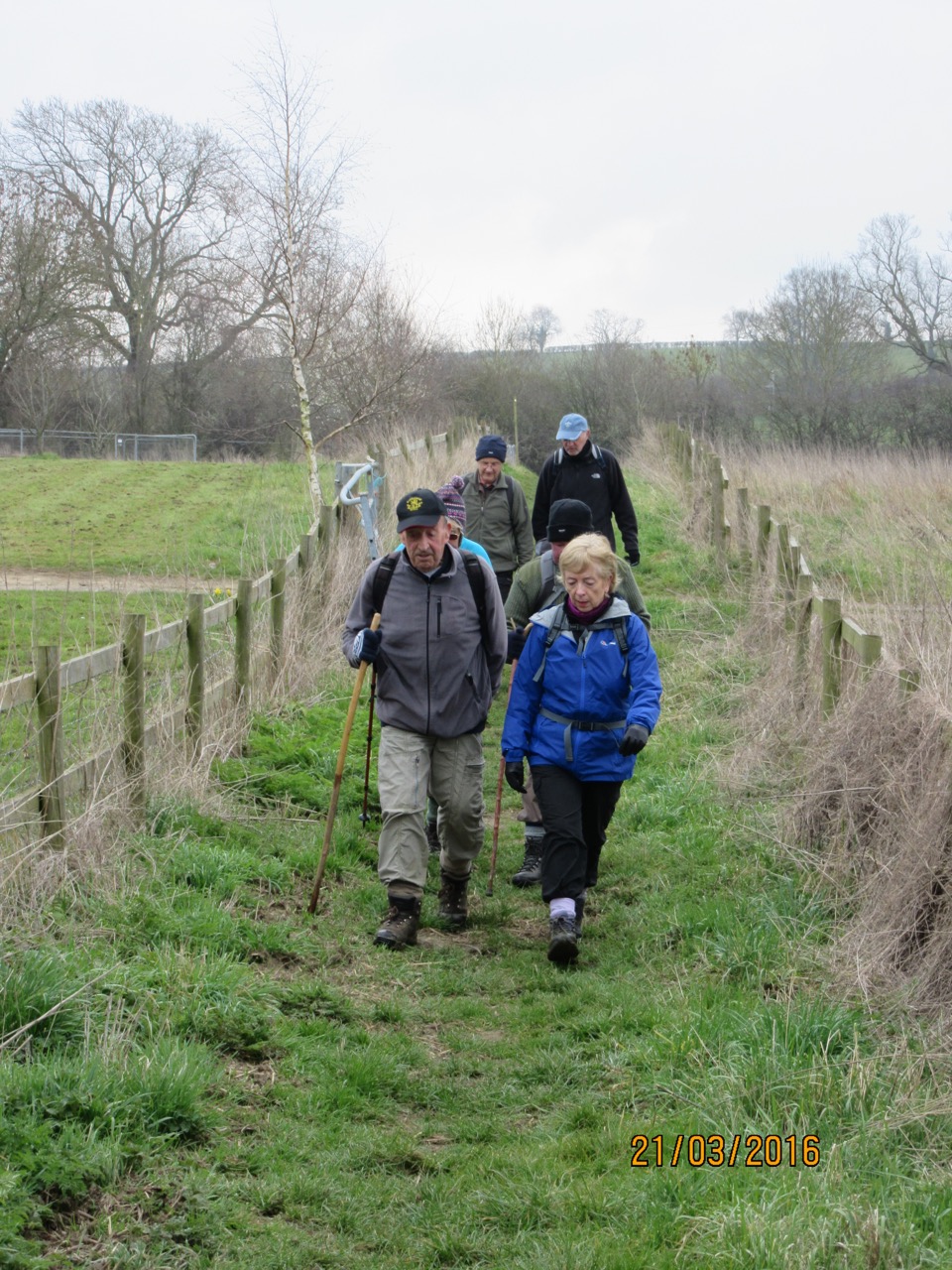
The mist is in evidence when we set off from Ashley, just opposite the George pub. We walk along the road past a couple of houses, through a gate, and then take the footpath which leads directly uphill along the side of a field of cows.
At the top end of this field are two footpath signs - the most obvious is a stile straight ahead. We ignore this and take the path through a gate to the left. This is a bridleway, and goes diagonally downhill, then crosses a brook, and joins Brig Lane. The track goes uphill for a while, and after almost a mile arrives at the road on the edge of Wilbarston. We turn right towards Stoke Albany.
 |
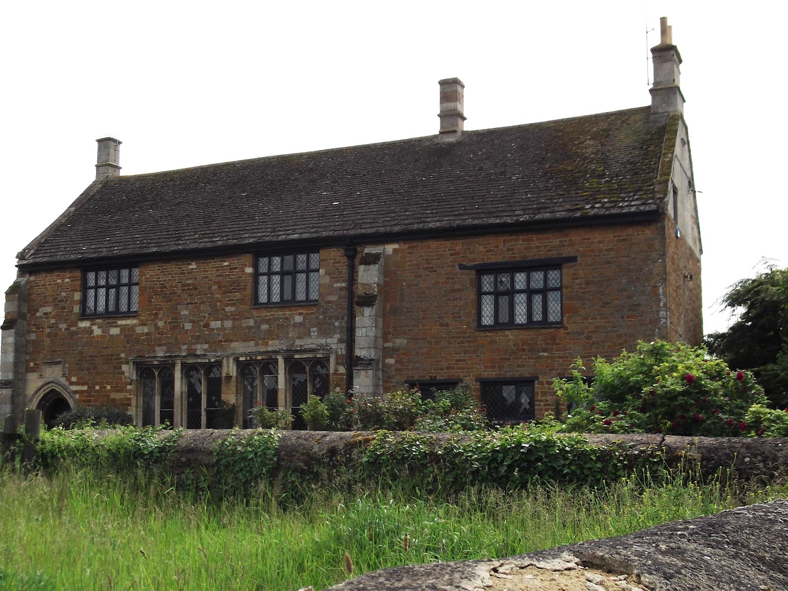
| In this wall are traces of former archways and windows. It bears the date 1684. |
 |
| St Botolph's church, Stoke Albany |
 |
Although we've not walked three miles yet, the bench opposite the church tempts us to take an early snack break.
|
We manage to add a mile to our route, but this gives us the bonus of a fine field of poppies, a kite, a flying pig, and some more views of Stoke Albany.
 |
| OK, not quite flying |
 |
| Brampton Ash spire in the distance |
 |
| lamp post leaning |
Back on the correct route, we follow the road down to the right from the old village hall, until the footpath leaves to the left, on a right hand bend. The path takes us over a field to cross the drive to the golf club. We walk in the same direction along the next field and cross the field boundary into a very big field. The path heads uphill past a derelict shed, to the end of the field. There are lots of blue damsel flies shimmering around the path.
At this point we have to go through what looks like a tunnel of vegetation in the corner of a copse. It's not quite the obstacle that it looks.
The next field has a clear path through the ripening barley
It leads up to a private burial ground, with railings and a seat with a lovely view.
At this point we stray slightly from our route - basically turning the wrong way when we meet the Macmillan Way. Luckily we soon realise and put ourselves straight, heading for the six-way signpost on the ridge.
We follow the sign towards Ashley, through a field of wheat, then have a choice of two routes. The right hand one looks more user-friendly, though we have to walk through very high grass towards the end.
It isn't long before we emerge into Ashley, cross a road and take the path opposite, which eventually comes out at the road we started from.
From here, it is a short walk to the car.
Map and details