and occasionally rides a bike.
A word of warning. The walk descriptions are not detailed enough to guide you - please take a map. The batteries never run out, and you always have a signal. Oh, And don't take left or right as gospel!

Showing posts with label Mynydd Rhiw. Show all posts

Sunday, July 28, 2024

Another short walk near Rhiw

 Wednesday 26th June

The clearest morning yet, so much so that we could see Yr Wyddfa’s outline to the right of Garn Fadryn. 


A late breakfast and a shortish, but not flat walk  past Ffynon Sant


and along paths to the road between Mynydd Rhiw and Rhiw. We visited the rocks near the road, then took the footpath through the nature reserve heathland. 2.5 miles. 


Very warm, very enjoyable, and clearer than when we walked it in 2021 (see below).


Back for a late coffee and some lunch and just hanging out for a while. 

Friday, July 26, 2024

2024/06/24 Mynydd Rhiw, Penarfynydd and Treheli


Monday 24th June

When I got up around 8 am the mist was well down, and i couldn’t see the beach. By 9.30 it was lifting.

After breakfast Harry suggested we take advantage of good weather and walk - to Mynydd Rhiw, then along coastal path to Treheli and back.


Low mist to start with, which cleared to sunshine, then clouds, but warm and dry.

We saw stonechats and a meadow pipit. 


Coffee at roadside near Bryndol,


then followed the road to the track to Penarfynydd Farm. No coffee signs now, no goats, just one dog and a boat. Maybe it has changed hands.

We followed the coastal path round to Mynydd Penarfynydd past the pig


This pig used to be in the nearby farmyard!

which used to stand on the farmyard, and the trig point, then along the coastal path ,

past lots of free roaming horses, stopping for lunch just before the very steep section of the path which leads to the wood and field just before Treheli.

Stopped for an ice-cream and a longish chat with the owner and her daughter.

Then up the steep track we came down yesterday, and back home for around 5pm. 

Brilliant day’s walk. - 7.7 miles, and 1100 feet of ups and downs. Quite tough at times.!


Glow worms in the late evening too. Late June/ early July is the best time to look for them.

Sunday, July 2, 2023

PEN LLYN - JULY 2023 Ty’n Rhyd to Mynydd Rhiw, Treheli and Coastal Path


Saturday 1st July 2023

Similar route to this walk in 2021 and this one in 2022

We walked from Ty’n Rhyd, starting at 11.45 and walking east to Groeslon. A left turn, and we followed the small road, bordered with honeysuckle, meadowsweet and other wild flowers (red campion and sheep’s bit in particular).

Sheep’s bit or policeman’s buttons

Meadowsweet

The road bends right, passes Bodwyddog Fawr farm, and continues to a T junction. At this point the footpath leads straight ahead, quite clear until we reach a wide gate, then it was overgrown. We headed for the wall to our right , and more or less followed it to the radar station at Clip y Gylfinhir (Curlew Mountain).   A short steep scramble up the mound, because it is there, and the views are great.
View over Y Rhiw and the fort

Then down and along the track to the summit of Mynydd Rhiw, with its trig point  at 304 metres - not quite 1000 feet! A pause for photos and reflection, and to feel the wind.
Radio relay station on Mynydd Rhiw


We followed a footpath down to a cleared area (unofficial car park?)  and turned right along the road.  A ritual visit to the rocky outcrop on the left had to be made. 


We left the road at the footpath at Pen-y-mynydd, through the heathland nature reserve. 

Hunger was kicking in at this stage, so we found a spot to sit and eat.
We headed fairly steeply downhill, following the path through lushly growing  bracken, then there were a few boggy patches under trees. A side-track leads to Ffynnon Saint.

Self-heal, woundwort


We could have followed the footpath further, but instead took the wider track down to Ty’n Parc, then on to the old road past the camping and caravan site at Treheli Farm. To our delight the campsite has a cafe now, so we indulged in a coffee and then an ice-cream, and chatted about the Welsh language.
Refreshed, we walked along the road as far as the car park for Plas yn Rhiw, and a little further along the new road turned left along the coastal path towards Ysgo.   It leads through a couple of fields, then into a wooded area,

where it begins to climb, and continues relentlessly beyond the trees - gaining about 500 feet in less than a mile.


Views along the coast are spectacular, even today when visibility was not at its absolute best. 

We decided to include Mynydd Penarfynydd with its trig point at 177 metres, and followed the huge zig zag of the coastal path past the farm
Penarfynydd, complete with goat and dog

and on to the road near Porth Ysgo. We took the road towards Groeslon, then turned left towards Ty’n Rhyd.


Somewhere around 9 miles, and over 1000 feet of ups and downs. A fairly strenuous but highly satisfying walk. 

Wednesday, July 6, 2022

Mynydd Rhiw and Wales Coast Path

 Monday 4th July 2022


This walk is last year’s walk in reverse.

From Ty’n Rhyd to coastal path, via road towards Ysgo. We turned left at the road junction and then took the path eastwards. 
At first it followed farm track next to a field of bullocks who were very excited by the arrival of the farmer in his land rover with a foxy looking dog, and a youngster on a quad bike.  On to Penarfynydd Farm with its agile goats, a dog and an artificial pig.


Followed the path to Mynydd Penarfynydd (177m).

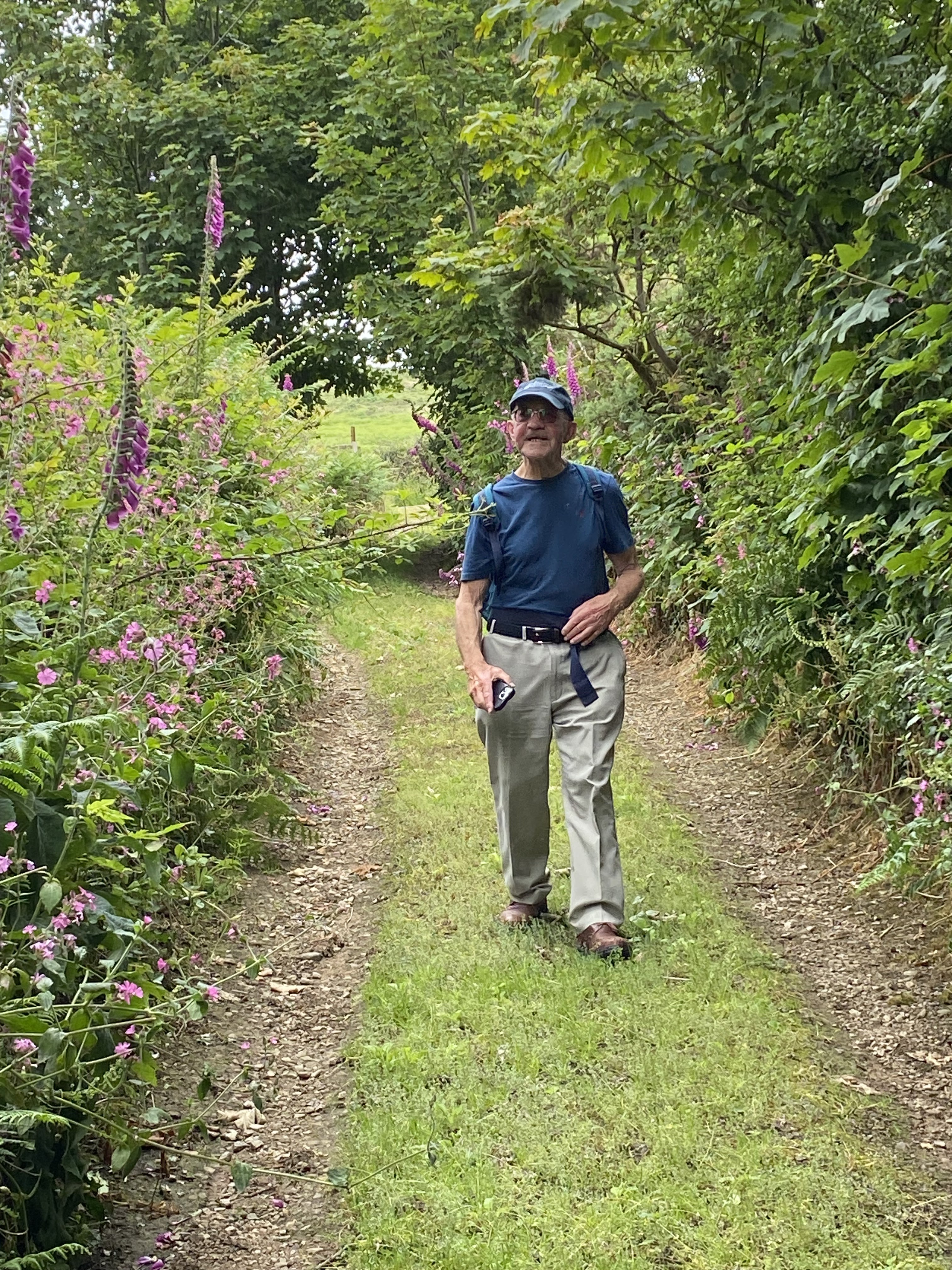
On the way we met a Welsh-speaking gnome lady - who may have been an incomer enthusiastically learning the language. I think she asked us if we spoke Welsh, in Welsh, but hurried on by when we obviously knew no more than “Bore da”. She was the only person we saw along the coast path until we met a couple walking with a dog close to Plas yn Rhiw.

We followed the coast path, pausing for coffee in a more sheltered spot. Onwards past a deserted building or two, some free-roaming horses, and sheep.


The path descends steeply and goes through a section of woodland, before climbing back up to the road near Plas yn Rhiw.


We followed the quiet side road past a small caravan and camping site, then straight on at the crossroads, toward Ty’n y Parc woods.


This was the section where we went off piste last year.  This way round the path is obvious, although still steep and tricky in parts. It leads up to Ffynnon Saint/ the Holy Well. A well with a view.

From an info board:
“To your left you’ll see Ffynnon Saint (Saints’ Well). This well is on the centuries old pilgrims’ route to Bardsey. It’s an historical well that was used for baptisms “


Shortly after this the bridleway continues, but there is a short cut via a footpath, leading up more steeply to rejoin the main bridleway. We turned left, then took the right hand fork. Just before a wall we turned right, crossing heathland, heading northwest , through a gate, to reach a stile in the wall by a minor road. On the map this is Pen-y-Mynydd.

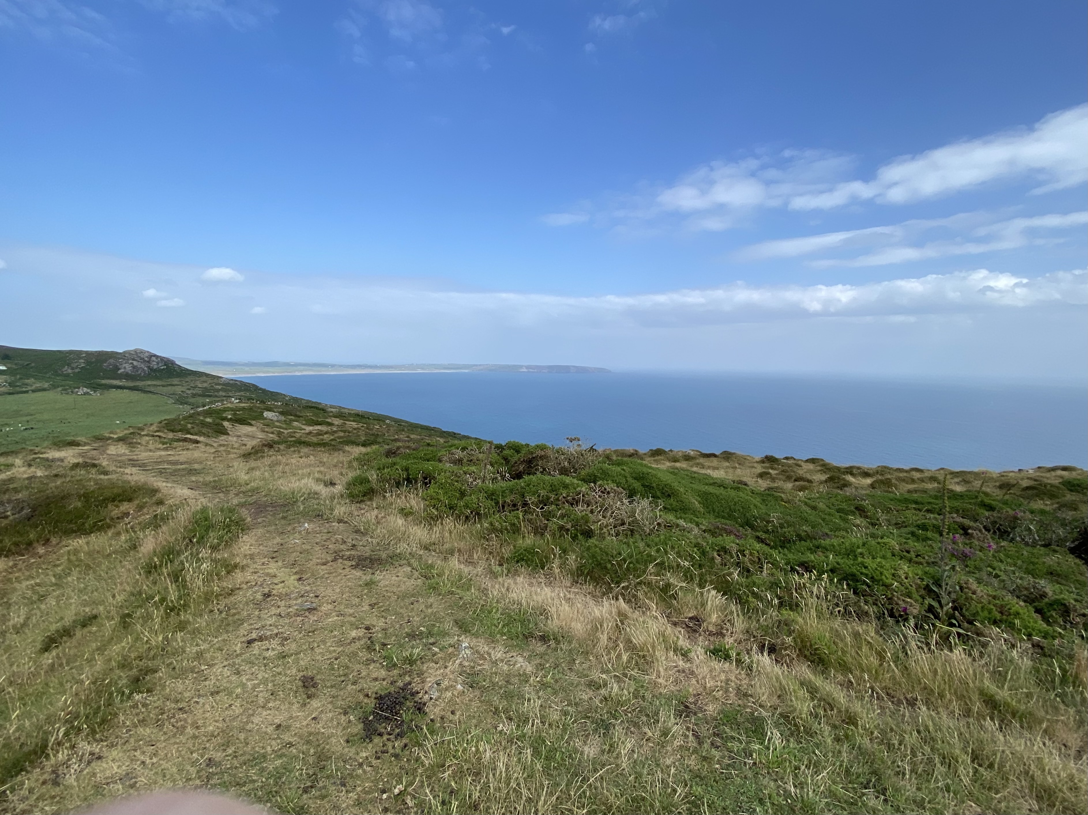
A pause for a drink and to admire the splendid view were in order, before we turned right along the road for a short distance, then turned left along a grassy track past what is marked as a Neolithic Axe Factory, past cairns, heading towards the relay station and the summit. (304 m, just under 1 000 feet - 997!)


The summit was a very windy place today, so after taking a few photos we sought a more sheltered spot for lunch.
We walked south west and took the footpath to our right just before  the conical tump.

The footpath hugs the wall on its right, but is not very clear once you cross the wall. Luckily the terrain. is not too tricky, though not smooth.  There is a wide gate and the remnants of a track, which was being used by a farmer on a quad bike, tending his flock.

It leads down to a T-junction on the road. 

We took the road opposite towards Bodwyddog Fawr, then Groeslon crossroads, where we completed the circle of our walk, turned right and homewards, for cups of tea.
Just over 9 miles.
According to google, “rhiw” means hill or slope! Very apt.