and occasionally rides a bike.
A word of warning. The walk descriptions are not detailed enough to guide you - please take a map. The batteries never run out, and you always have a signal. Oh, And don't take left or right as gospel!

Thursday, September 16, 2021

Cycle ride on North Rhins to Corsewall Lighthouse

 Wednesday 15 September 2021.

Another revisiting of places from May 2019, with variations. 

The morning began beautifully - 


The forecast was for cloud to increase with rain later… but we decided to risk it anyway.  Breakfast eaten and lunch and coffee flask packed, we were ready by around 10. There is a steep hill out of Portpatrick, and a long pull after the left turn onto the B738. Opposite the Rawer Road, the donkey we saw last time was still in residence. At his point I switched my map app on to trace our route.


We rode downhill through woodland and rhododendron  bushes. At this time of the year the bluebells and rhododendron flowers have been replaced by fuchsia hedges and montbretia and of course, blackberries and haws.


We stopped for a ritual coffee and cake at the same spot as on the previous ride.

We followed the B738 along its twists and turns, past the Marian Tower, 


until a mile or so before Kirkcolm there is a left turn, and Corsewall Lighthouse Hotel is signposted. 

This road is single track and quite rough in places.


Look carefully - is the ship making off with Ailsa Craig?


We passed a mini-cannon and were pleased to see that the hotel was definitely open and serving coffee - an a very good cup it was too.

A Yorkshireman sitting in the next room jumped up and offered to take a photo of us both.

More views of passing ships, before we tackled the climb back up, then a downhill glide to the village of Kirkcolm, where we recently learned that a family of Harry’s ancestors lived, after leaving Ireland.

A little further along the shore of Loch Ryan we lunched at a spot on Wig Bay where the RAF operated flying boats during World War Two. 

From there we took the turning off the A718 just after Soleburn garden centre and rode uphill - a pretty long drag, then through Glenstockadale, eventually reaching the B738 and the long downhill stretch (some of it rather bumpy) rejoingin the main road into Portpatrick.

On the seafront we paused only to hear the voice of the Yorkshireman we met at the lighthouse: “Would you like me to take a picture of both of you?” 

We failed to take a photo of him in return!
Then back for a shower and a cup of tea.  The rain didn’t arrive until after 5 pm. A great ride - just over 32 miles according to our apps!


Tuesday, September 14, 2021

Portpatrick to Dunskey Castle, Morroch Bay and back.

 Monday 13 September.  With Harry - 5 miles and a bit in persistent drizzle, along the coast path and back via the road.


Around midday, after coffee we decide to walk to Dunskey Castle, as we did in May 2019 in very different weather.


Along the sea front, up along south Crescent until we meet the steps and footpath sign to Dunskey Castle.


The path is straightforward, and after half a mile or so we reach the ruined castle.

The sign now says that Morroch Bay is a mile further on, so on we go, getting drizzled on, and wetted by long grass beside the path. The flowers are less impressive than in spring time, but there are plenty.


Views down to the rocky 
shore don’t inspire me to think of a small boat to Ireland today…but there’s a boat close in.


Oh yes, glad to see the giggle gang have been up here…

We reach the path above Morroch Bay,

and see cottages below - the track has a notice at once
forbidding and enticing.

Self-catering? Wow… we walk along a bit and catch sight of Knockinaam Lodge 
Hotel (in Port of Spital Bay), then turn back and walk almost down the track to Morroch Bay. Yes, it’s steep!

We have to climb back up and follow the track to the road. We meet one car and a tractor.


We continue past the caravan sites, which are being extended, and descend into Portpatrick via Military Road and Old Military Road, and back to Dinvin Street for a well-earned lunch. Only a whisker over five miles, but with 600 feet of climbing and descent, and the narrow cliff path, it feels more

Friday, September 10, 2021

Around Carrshield

 A morning “stroll”, I said. “before coffee.”

Just over 2 miles, taking 1and a half hours, only 240 feet of climbing, but boggy and bumpy terrain….


.


First a wander round the tiny cemetery - the heart shapes appear to be restored inscriptions.
Down to the footbridge over the tiny River West Allen. 

And up the other side, with a look back at the village

The path through access land, turns right just before the Miner’s Rest farmhouse, and goes along the bottom of their garden, with a gate at each end.
On the track just beyond is a building which. may have something to do with the old lead mines.

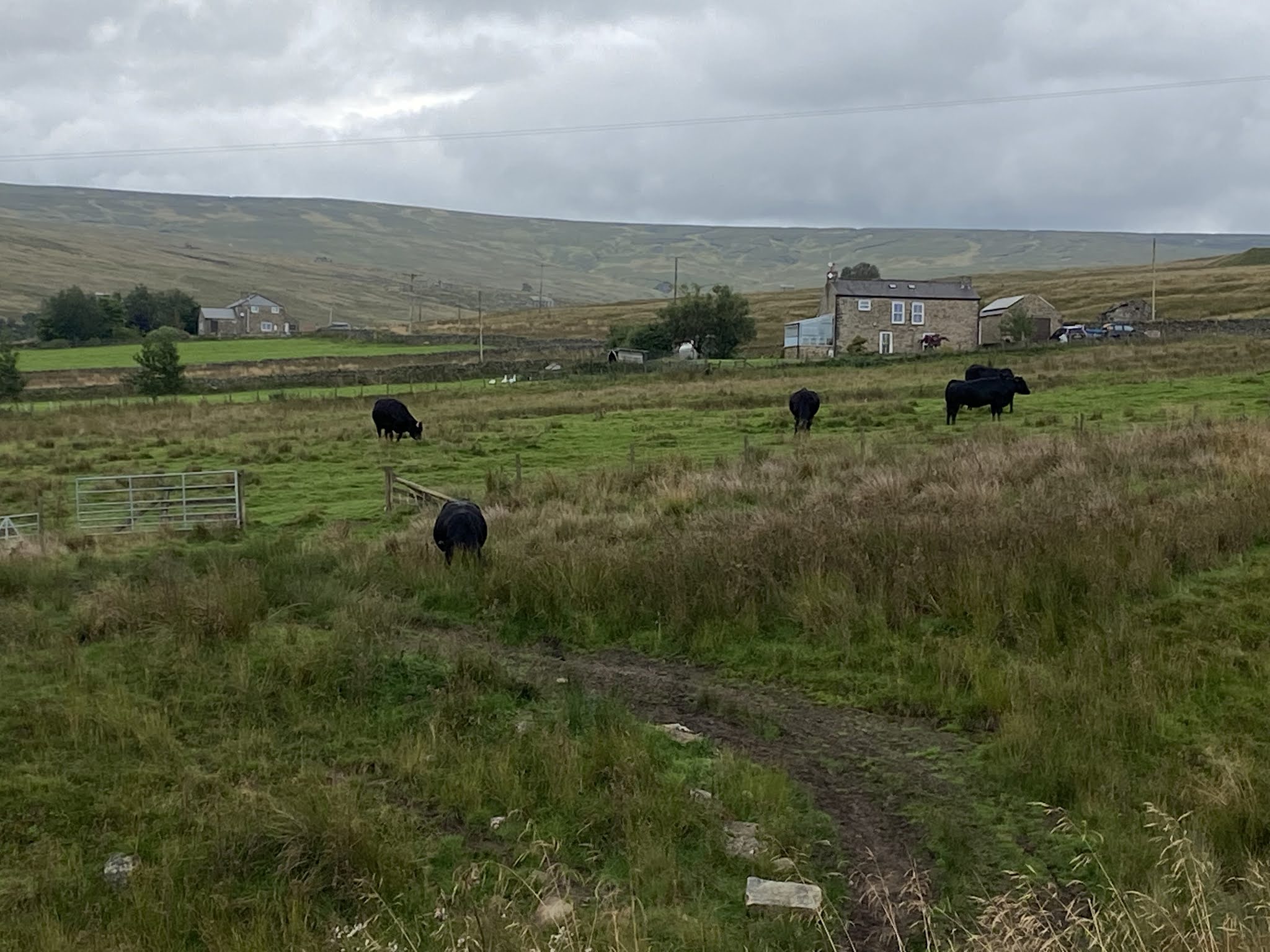
The next part of the walk is rough ground, crossing a small stream or two, past cattle

then following a wall until we reached  a footpath to our right.


The going improved …a little…

The remains of another old building

Another tricky bit of descent to a footbridge

back over the River West Allen

uphill along a nettle-rich path

and finally along the road, past the church

and back for a slightly later, but much appreciated coffee and cake outside in occasional sun.