Wednesday 11 September 10 20 am.
Walked from Tilton wiith Marta. Just over 8 miles.
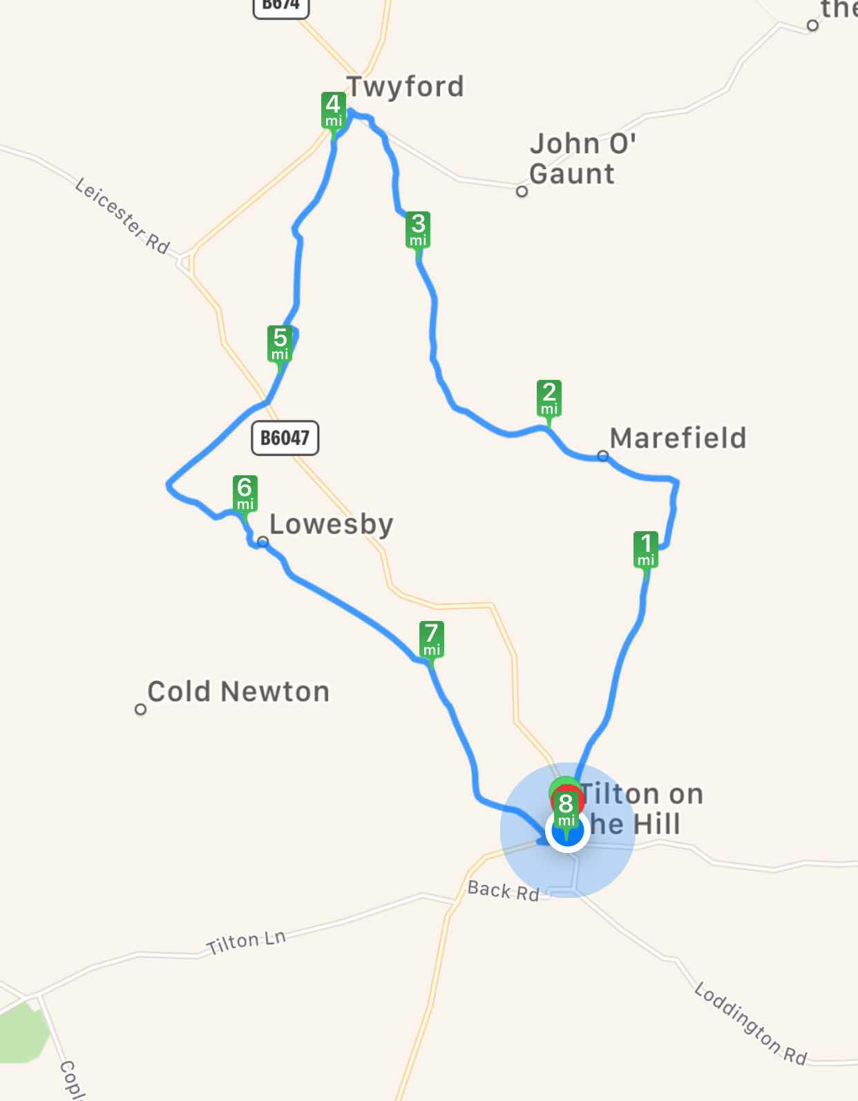
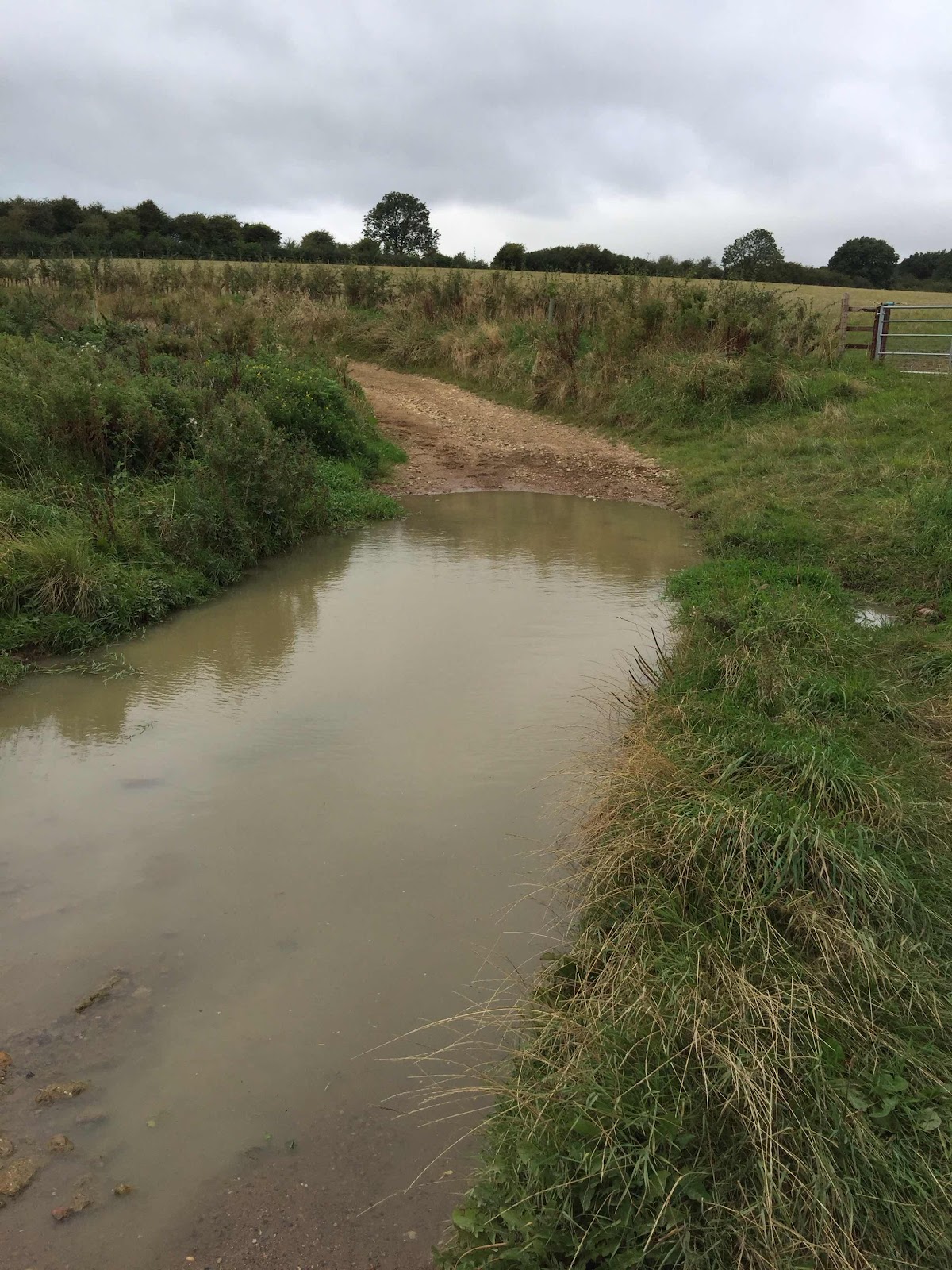
A day of changing clothes, too hot, then some drizzle, then too hot again. We left Tilton along Marefield Road and then down the track to the left. Downhill and over a muddy patch - unexpected as we've had plenty of dry weather.
We decided that a late start justified an early coffee stop, and found a spot where the track met a quiet road. A large group of cyclists passed us - clearly a decent road for a bike ride.
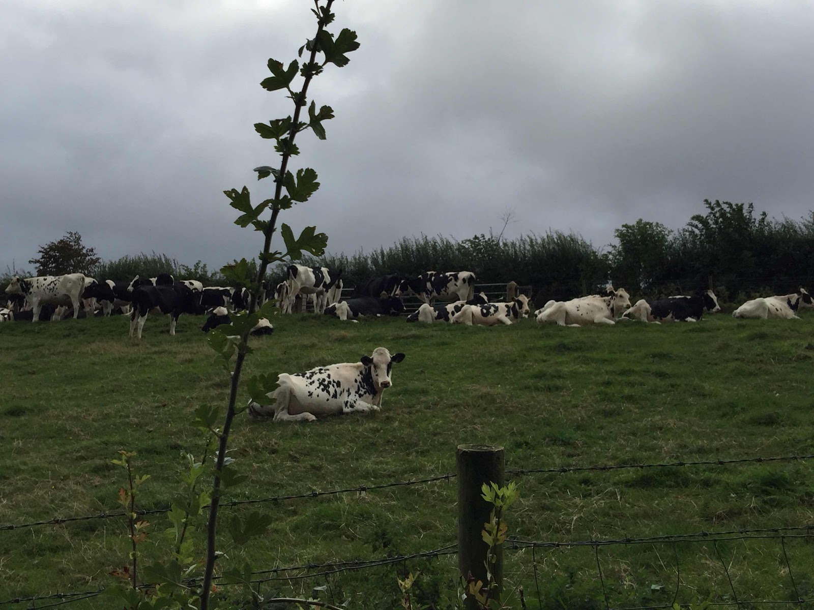
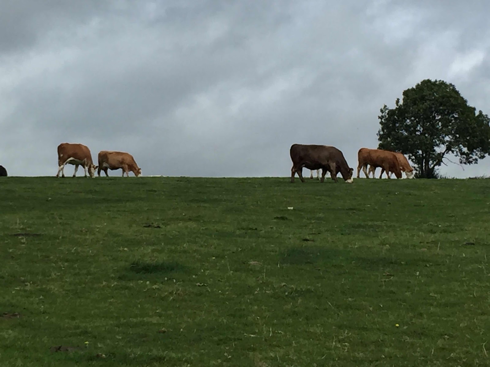
From here we turned left and followed the road through Marefield and past Manor House Farm. Soon after this we walked under a railway bridge, and continued along the left hand fork. There were lots of cows in the unfenced field.
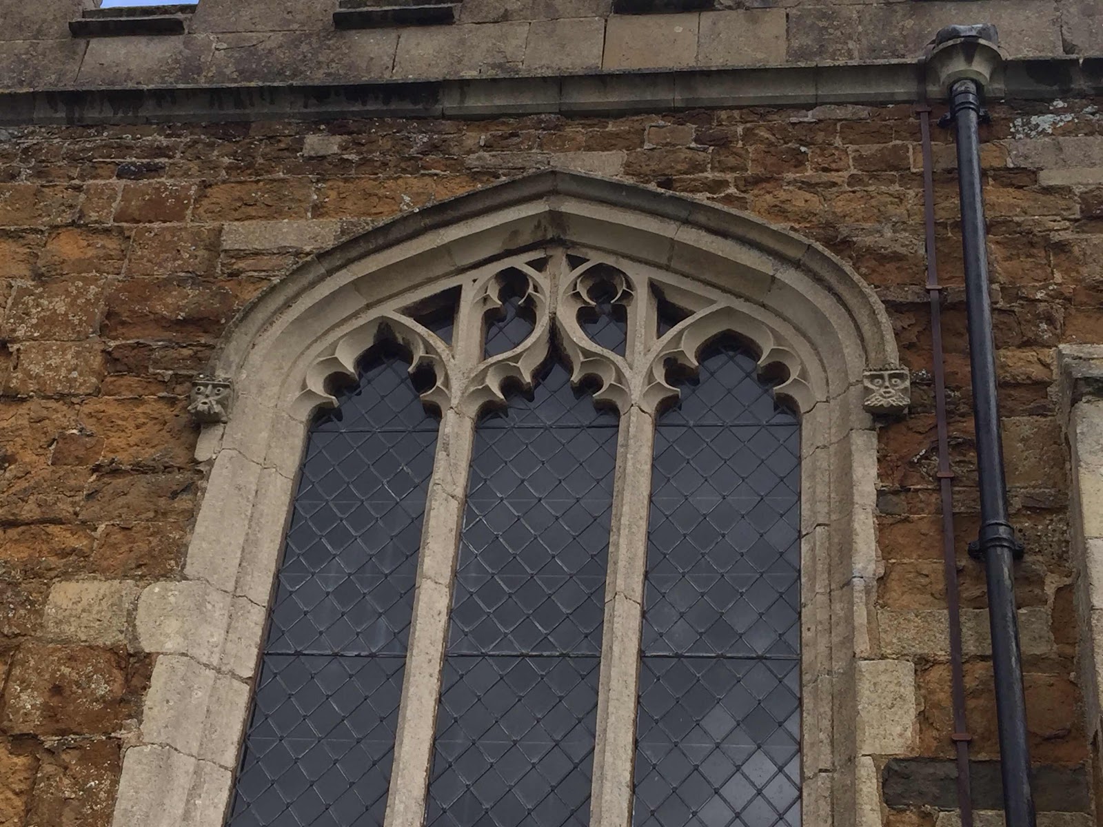
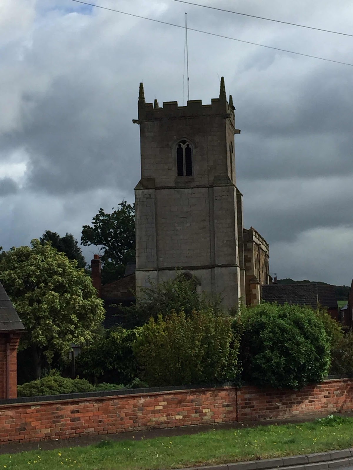
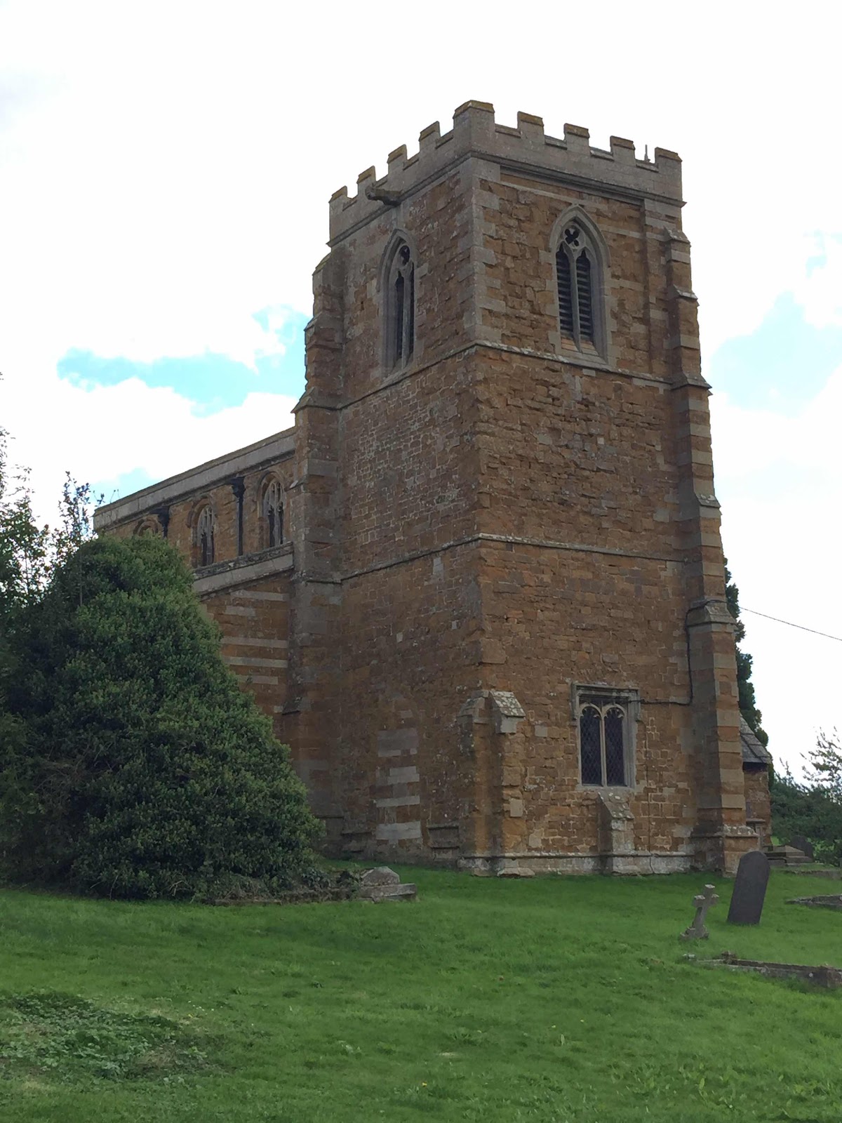
At the next road junction we crossed over to a footpath which led almost due north and past Lowenva Lodge Farm. There is a short section where we had to consult the map and follow field edges before we picked up the yellow signs, and then we followed the path into Twyford. It was drizzling enough for us to be grateful for the shelter of Twyford church porch. I almost succumbed to the temptation of yet more coffee, but the sun came out and encouraged us on our way!
We left the churchyard, and after a slight hiccup took the first road to our left, following it round until we found the footpath we needed.
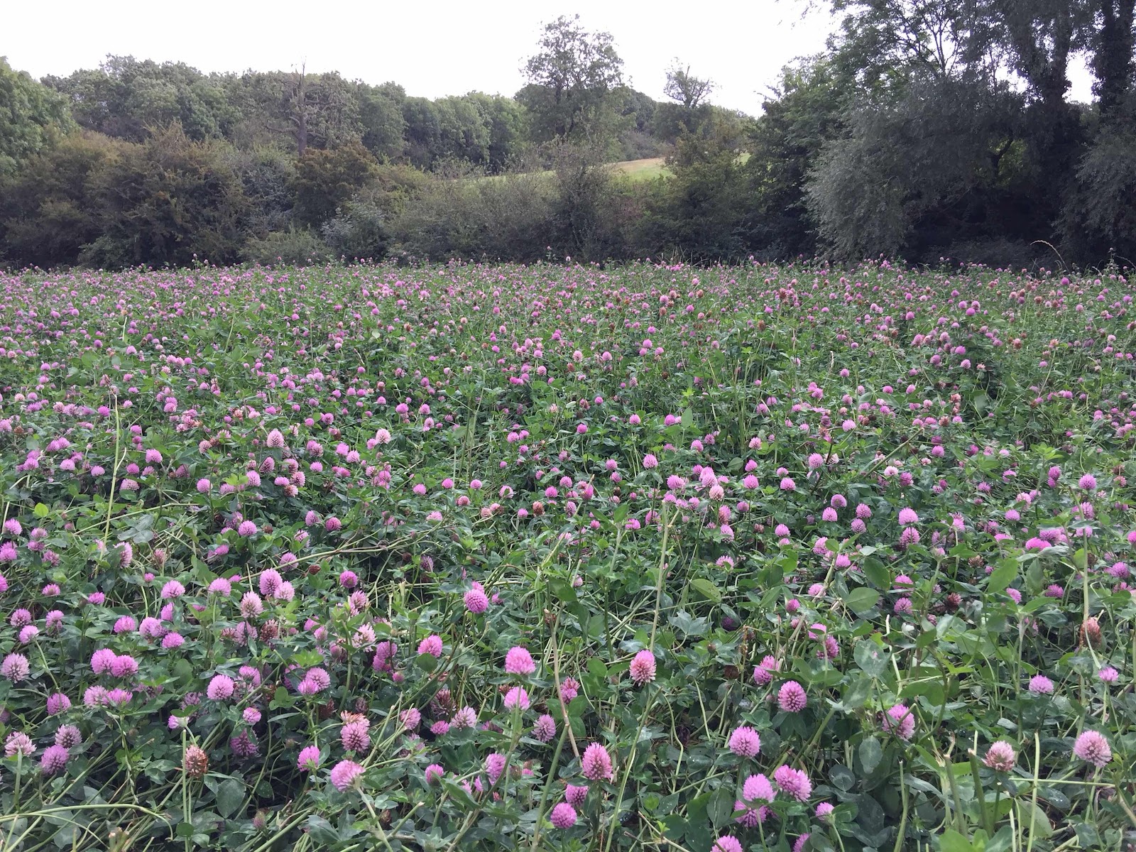
This path was not hard to follow, and crops have been harvested. The electricity pylons are a useful aid to navigation around here.
We went past Highfield Farm, then downhill to the Melton Road. We crossed the road and took the small road opposite, known as Park Road. This goes past the site of the medieval village of Lowesby, but we couldn't see much evidence. We followed the road past an avenue of trees leadin to Lowesby Hall, and picked up the footpath to our left, near the bottom of the hill.
The path goes towards the hall and passes it on the left. It's clearly marked and leads round to the road to the church.
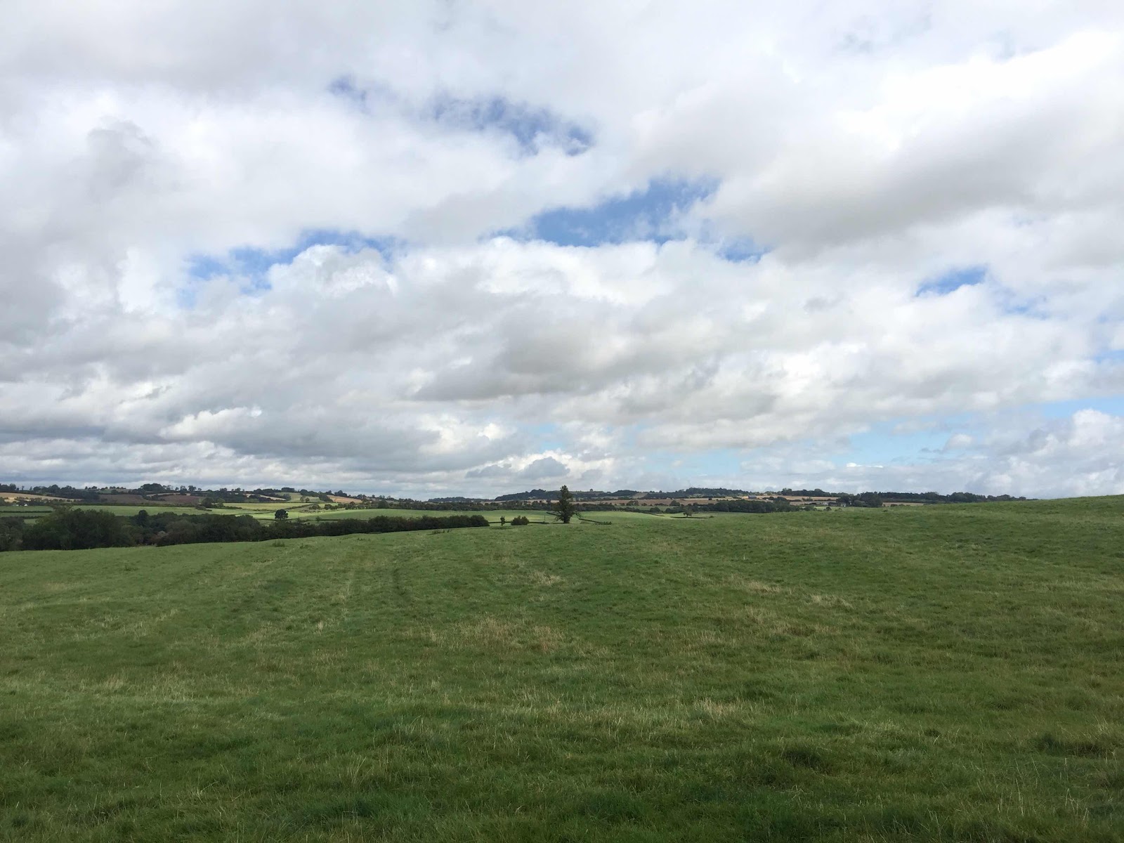
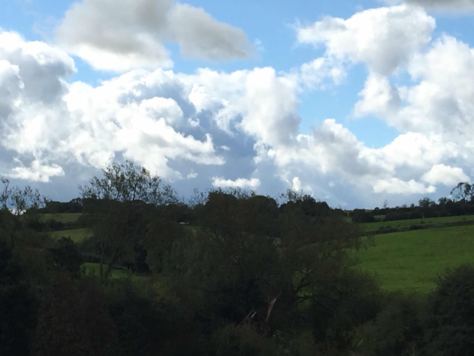
After the church our path crosses the road and heads southeast, with spelndid views of the countryside.
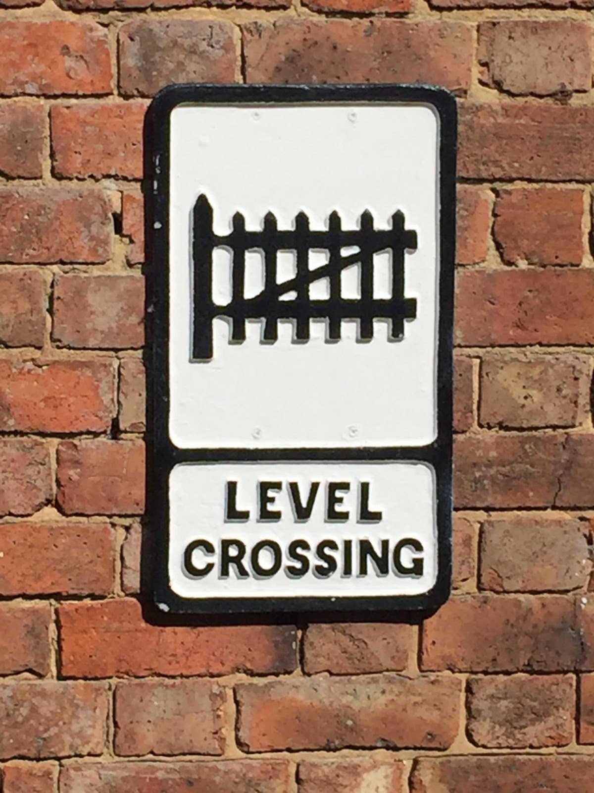
We went past the old Lowesby signal box and station , now marked on the map as Springfield Farm.
Then it was up the lane past Springfield House, and following the path over the fields, climbing gradually back to Tilton.
Lunch at Buttercups
1 comment:
You were lucky to find good shelter when you needed it !
Post a Comment