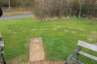
First call was Easton Maudit church, and a wander round the graveyard, where Derek Nimmo is buried.
Then back to don boots and off along the path past this house
where the thatch is supported by some fine rustic poles - or trees. I like the orange tiles, as well!
We walked across the fields and gently uphill towards Horn Wood. In the wood we turned slightly right, and followed the path through a line of electricity pylons. Soon after these we turned left with the path, through some more woodland, until we reached the A428, which we crossed.
We followed the well-marked path (Milton Keynes Boundary Walk) south, then west until we reached the B5388 (Olney - Yardley Hastings. Here we turned right and walked along the road for about half a mile, past Pastures Farm.
 |
| The hollow in this tree looked like an ideal place for someone half our size. |
 |
| Right, everyone, snack-break over! |
We passed another Pastures Farm over to the right, and the path led us towards Yardley Hastings.
The first structure we saw was this one. I've discovered that it's a flood storage reservoir - quite empty at the moment.
There is a stream of sorts in the village, with bridges over it to lots of the houses. The village is very attractive, with its millenium village sign, list of residents in 2000, and human sundial.
There's a village shop, getting into seasonal mode
We walked through the village, past the church (St Andrews) .
The path we took goes to the right, just before a bridge at the end of the village, and continues to the right of the stream - in a deep ditch - for some distance.
When this path meets another one, you turn right (east) and go uphill gradually, crossing a minor road, and arrive back in Easton Maudit.
Map and details


No comments:
Post a Comment