and occasionally rides a bike.
A word of warning. The walk descriptions are not detailed enough to guide you - please take a map. The batteries never run out, and you always have a signal. Oh, And don't take left or right as gospel!

Wednesday, April 9, 2025

Geddington through Weekley Hall Wood to the Bull Pen

 Monday 31st March

Got up at around 7.30 new time.

Norma picked me up at 9.30, then Maureen and we went out to Geddington.


We parked at the village hall and walked to Bull Pen through Weekley Hall Wood


which was looking very springlike, with celandines, primroses and wood anemones.


We heard a woodpecker drumming, and saw several butterflies - a comma, a few whites at least one of which was a small white, and brimstone in amongst the blackthorn blossom, pussy willows and catkins. 

Coffee and teacake at the Bull Pen, the cafe which has replaced the Fox and Peony.


About 6.5 miles. Perfect for a spring stroll

Tittesworth Reservoir. - anticlockwise


Saturday 29th March

We observed this morning’s partial solar eclipse by projecting the image through binoculars


and the holes in a lemon juicer


After lunch  we went to Tittesworth Reservoir, and walked round it anticlockwise. 4.5 miles.


We followed the Crabapple Trail close to the waters edge on the eastern side, which was pleasant.


Sheltered from the wind down there, unlike back at Ridgehead where it’s very blustery still.  Quite a few people out - for a cold March Saturday. 


Errwood Reservoir to Shining Tor and Cat’s Tor

 Friday 28th March

Windy and cold, though bright. We decide to tackle the Shining Tor walk from Errwood Reservoir, parking at the southern end of the reservoir. Most of this walk is covered in the AA Peak District Walks  book - walk 23. We did the same walk on October 12th 2023.


https://aliwalks.blogspot.com/2023/11/errwood-reservoir-to-shining-tor-12th.html


As it was already 11 am we had coffee and a biscuit to fortify us before tackling the walk.

Looking back from the first steep section


It’s a steep climb uphill to begin with, on a wide grassy track. It levels out gradually, continuing to climb steadily until we reach the junction where signpost indicate Shining Tor to the right, and Cat & Fiddle straight on.

A brief pause to put windproof jacket back on as the wind is fiercer than on the slightly protected slope. Then we follow the Shining Tor path down and up to the summit at 559 meters/1834 feet, where we sit on the bench in the lee of the wall, and admire the view, which is wide and includes Shutlingsloe and Sutton Common mast. 


Two young women runners appear with dogs, and one has problems keeping her cap on.

They were amused by this lucky photo (by Harry)

We decide to move on before lunching - it’s cold!  We’re very glad we’ve brought windproof jackets, scarves and gloves today.

Appropriate name

The walk along the ridge to Pym’s Chair and the road is a struggle against the force and noise of the bitterly cold wind. 

 We walk down the road for a fair distance and turn right where two footpaths go - one to Errwood, and one to Foxlow Edge. We take the Foxlow Edge one and climb a short distance before finding a wall which provides enough shelter for us to lunch comfortably.


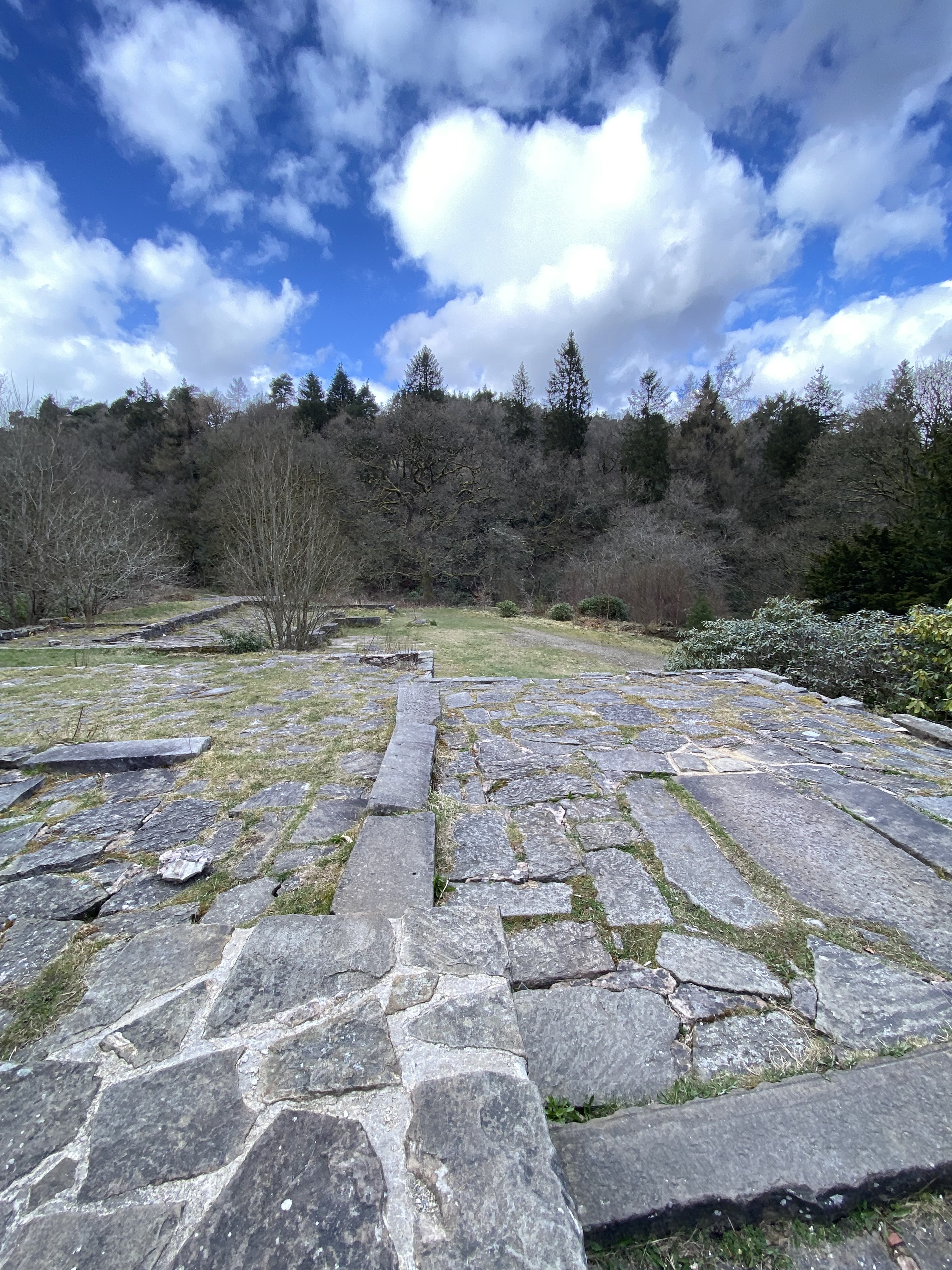
After that it’s mainly, though not entirely, downhill toward the ruins of Errwood Hall,  and then back to the car park.  6 miles altogether, but felt like more.


Recommended reading:

Errwood Hall and the Drowned Hamlet of Goyts Bridge by David Stirling


https://www.goyt-valley.org.uk/product/errwood-hall-goyts-bridge-book/#reviews


Rudyard Lake from North End, anti-clockwise

 Thursday 27th March


A post coffee walk round Rudyard Lake, this time parking at the north end, and walking anticlockwise.

Lots of celandines

A man in a car asked us how to get to the southern car park - satnav can be a bit weird round here. 


A brief detour to the water’s edge, via steep wooden steps,


then a pause for a hot drink at the cafe just over half way round.


Daffodils, celandines, a couple of tulips in a trough, pussy willow catkins, sunshine, water, boats, a pied wagtail, a comma butterfly and a male orange tip, not too many dogs, and the slopes upwards were not too steep!  4.75 miles. 


Quite far enough today.

Tuesday, April 8, 2025

From Axe Edge to Chrome hill and Hollinsclough

  Wednesday 26th March

Walk 25 from AA Peak District Walks.  7.5 miles circular with approx 900 feet of climbing.


We parked just off the A53 at Axe Edge. For detailed instructions consult the book.

The view soon after beginning the walk
Beautiful views and good walking conditions made it an excellent day out.

Just after leaving the road downhill 
After walking past Fairthorn Farm

Making our way down past Thirkelow Farm - we found a nice spot for coffee

Down hill and over the duckboard bridge

Past Booth Farm we picked up the track towards Chrome Hill


Down and along the road, giving Parkhouse Hill a miss today.
We followed the track towards Hollinsclough and were delighted to make use of the honesty shop just outside the village.

The track from Hollinsclough is steep and muddy in places
Just before a deserted farm (Leycote) there is a lovely packhorse bridge and a very steep paved/cobbled track.


More steep climbing through birch trees

Eventually we reached Brand Top and followed the track and road back up to where we left the car.