Thursday 12th October, with Harry.
We parked in the car park towards the northern end of the reservoir, and walked south towards the ruins of Errwood Hall.

We didn’t visit them on the way up, but followed the path steeply up the shoulder of the hill, until it flattened out a bit, and we came to the signpost for Shining Tor.

 |
| Shutlingsloe |
We chatted to a woman walking, and recommended Chrome Hill. Then at the summit cairn, we met four women from Leeds who were on a walking holiday, and wanted their photo taken together.


We had coffee and scone on the benches at top of Shining Tor. This is the highest hill in present day Cheshire at 559 metres (1834 feet). We could see Shutlingsloe and Sutton Common Radio Tower to the south (ish).
 |
| Shutlingsloe and the radio tower |
The path continues along to Cat’s Tor, paved most of the way, and keeping to the ridge.

I wonder if it was an old packhorse trail, though the stones are not as old as that.
https://all-geo.org/metageologist/2014/10/paths-across-the-cheshire-peak/
The Cheshire/Derbyshire border is also Alan Garner country. Folklore, magic and history. I had not realised that Thursbitch was a) a real place or b) so close to Shining Tor.
http://alangarner.atspace.org/votd.html
Enough of that for now. We continue via Cat’s Tor and Oldgate Nick to the road, which we follow downhill for a short distance before picking up a path to the right.

This climbs Foxlow Edge and then goes downhill to a path by woodland, leading down to Shooter’s Clough Bridge.


We decide on a detour to the ruins of Errwood Hall for old times’ sake.


The hall is being repaired - because of ‘anti-social behaviour/ vandalism’, according to the Goyt Valley website. At one time raves were held there.
http://www.whaleybridge.net/localhistory/errwood.html


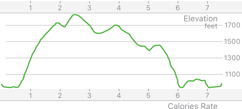
In total we walked 7.5 miles and climbed a bit over 1100 feet in much better weather than when we were last here in October 2017.
https://aliwalks.blogspot.com/2017/10/goyt-valley-near-buxton.html
No comments:
Post a Comment