Thu, 2015 Aug 13 9:10 AM BST
With Gordon. Grey day, but dry. Good views as usual. Around 8.9 miles.
We set off from Manton, and took the footpath to the west (left) opposite the Horse and Jockey. Way marking at the end of the field not perfect, so we ended up walking through some nettles, and climbing a wire fence on to the verge of the A6003, slightly south of where we should have been. We picked up the path across the road, and followed it through a couple of fields, past a farm. When we arrived at a freshly harvested and ploughed field we took the path of least resistance and followed the field edge uphill to join the bridleway, which is a much easier route to follow.
Martinsthorpe Old Hall Farm, which is surrounded by fencing, and being worked on, is a landmark to keep us on track. It is the only conspicuous surviving trace of a seventeenth century country house and the site of an earlier medieval village.


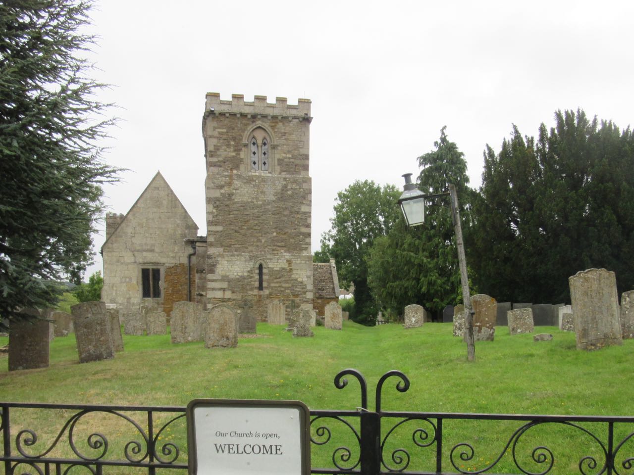
A bench on the green in front of Brooke church is handy for a break. We take the road to the left of the church, past Bridge Farm, and Hillside Cottage, which is still derelict, and uphill following the Macmillan Way. At a junction we take the right hand fork past Brooke Covert East, and gradually downhill with views of Oakham to the north and Rutland Water to the East.
We cross the railway line and follow Hambleton Road to Egleton, then the cycle track all the way back to Manton.
Not a drop of rain fell while we were out.
Map and details
2 comments:
You were lucky to dodge the rain! It's good that you and your friends are helping to keep the footpaths open so glad you managed to dodge the nettles where it was overgrown! Enjoyed the photos of the animals and the snippets of history.
It's a very pleasant walk, with lots of alternative footpaths and small roads for variations. It's one of my missions in life to keep footpaths open!
Post a Comment