We parked at the end of St Judith's Road, at the bottom of a grassy hill where several dogs were being exercised. We set off upwards - it's not too high - I notice our maximum elevation was 225 feet, but, as we were on the edge of the fens, this is a mountain.
High enough to offer wide views of the countryside.
 |
| yup - going up! |
We walked alongside Aversley Wood and turned right at the top, along the Bullock Road track.
A dog-walker had recommended that we should look among the trees for a "star pond", a pond specially built so that bullocks being driven to market all had access to drinking water. No water there now, but the shape of the channels can be seen near the corner of the wood.
We returned to the Bullock Road and followed this north-west for about half a mile, turning left, south-west past some farm buildings. The way zig-zags a little, before heading uphill, still south-westwards, then diagonally across a field. We headed to the left of a group of trees to a gap in the hedge, leading on to a T junction.
 |
| Gap in the hedge and signposts for T-junction. |
Where the road bent to the right we turned left along a footpath, following the waymarks round three sides of a square, past a pond and the evidence of old buildings on the ground - the remains of the medieval village.
 |
| Plan of Steeple Gidding on display in the church. |
 |
| St Andrews, Steeple Gidding |
 |
| Inside the church |
 |
| View from the bench in the churchyard |
 |
| Little Gidding Church |
T S Eliot called one of his Four Quartets after this place, and there is a copy of his selected poems in the church. There is an interesting extra link about his connection with Little Gidding in the link above.
A quotation I rather like:
We shall not cease from exploration
And the end of all our exploringWill be to arrive where we startedAnd know the place for the first time.
The next section is where the Garmin was switched off - the path is clear on the OS map and on the ground. From here we took a path downhill and south west. This crossed to the opposite corner of the field, then round the hedges and over a footbridge, where we turned right and headed more or less north west. The path gradually swung round to the north east, follwing field boundaries until we came to a small road. We turned left and very shortly right on to another path, still heading more or less north east, along the right hand side of Cow Pasture Gorse, turning left to follow the edge of the wood, parallel to a line of electricity pylons. A short distance after the end of the wood we turned right and headed slightly uphill to the left hand side of another wood - Cow Pasture Plantation.
 |
| Looking along a track into the plantation |
This path took us through a narrow field, with a house at the other end, and then through a gate and back on to the Bullock Road.
We turned right and walked southeast, with Cow Pasture Plantation on our right.
 |
| Shaggy inkcap by the Bullock Road |
When a path crossed the road we took the left hand turn north east towards Woodfield Farm and then due east and gradually downhill towards Sawtry. The path was easy to follow and took us behind some housing and back to our starting point.
Map and details


1 comment:
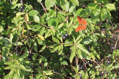
You did get the butterflies OK Alison. Lots of interesting images.
Looking at the plan I thought I was watching 'Time Team' for a moment there.
Post a Comment