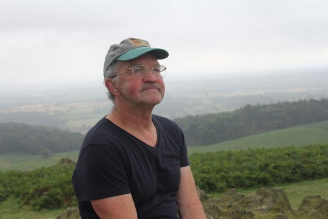
I hope it's crystalline in clarity next time I do this walk!
We parked at Bradgate Park in Newtown Linford, and after a kick-start cup of coffee, went through the main gate to the drive, took a path immediately to the left and headed up hill towards Tyburn Copse. From the right hand side of this copse the obelisk monument to the dead of the two World Wars is visible directly north.
 |
| Onward and upward to the memorial obelisk - a hazy, misty start to the walk. |
 |
| Misty landscape behind Harry |
 |
| And more mist behind 'big boots'! |
 |
| Scaling the heights |
There's a toposcope here which claims views as far as Nottingham Castle and Burrough Hill. On a clear day . . .
We left Old John and walked downhill to the north-west corner of the park.
 |
| Downhill from Old John |
 |
| A fine crop of crab apples |
 |
| The sweep of the greensward |
 |
| I hope the ducks manage to dodge the golf balls |
There are two possible routes from here - I think we chose the one where it's easier to wander off track.
We took the first footpath off to the left. It leads up and along the edge of two fields, before cutting diagonally across a grassy meadow. By one of the hedges I spotted my first serious blackberry pickers of the season. The path comes out at a road and this is where we made our unintended diversion. I blame lack of looking at the map, and being distracted by an obvious gate and continuation of the path just opposite.
We visited the Broombriggs Farm trail, which is well supplied with benches and decent views to the east - and cattle.
 |
| Wot? No kitchen sink? Snack break at Broombriggs. |
 |
| Trig point on Beacon Hill - great views all round |
 |
| Another peak conquered forget the car park 100 yards down hill! |
 |
| Radcliffe power station in the distance? |
 |
| Cattle grazing near the summit |
 |
| Blooming heather adds to the moorland feeling |
We went downhill to the car park, and turned right, past the toilet block. The gravelled path forks left and heads downhill through the woods. When we reached a rusty charcoal burner
we walked round behind it and took a narrow short path which comes out at a crossroads.
We crossed over and took the road towards Copt Oak. A few too many cars, but it's a short distance. After 300 hundred yards we turned into a lane just before a wood. There's a remote-operated gate for cars, but a path for walkers at the edge.
When the wooded area ends, the path forks off to the right and heads south-west along the edge of several fields. When we reached Ulverscroft Lodge Farm, we turned left along the path which joins a drive leading past Ulverscroft Pond to the remains of Ulverscroft Priory, with its moat and fishponds.
The drive continues until it reaches a road junction. Here we crossed over into Ulverscroft Lane. This was pleasant walking, as it is quiet and shaded by trees. Continue past the wonderfully named Polly Botts Lane.
After around three-quarters of a mile, there is a footpath sign for Newtown Linford. The path leaves the road on the right hand side, then you take the left hand fork across a field just after a stile. It was very muddy in places, especially through the woods, but easy to follow.
The only slightly tricky part, is just after you pass a ruined building to the left. Here you have to turn left and very soon go over a footbridge then head for Newtown Linford which can be seen ahead. This is an exceptionally attractive, well-kept village. We walked through, past the pubs and back to Bradgate Park and a large pot of tea with cake.
Thanks to James Rhodes and Walking Britain for info about this walk Map and details


No comments:
Post a Comment