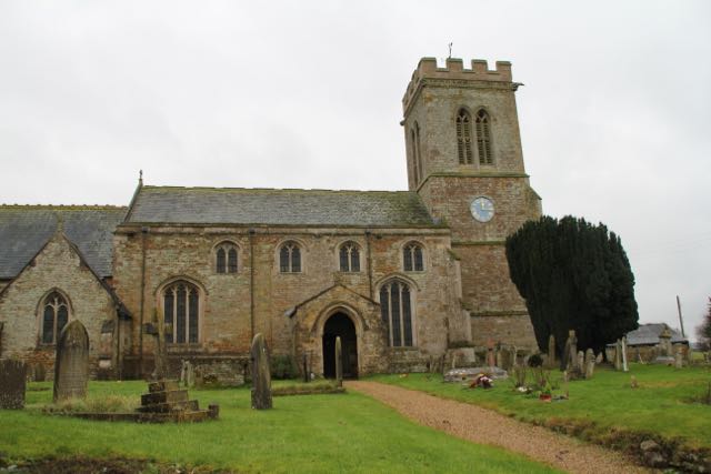
We parked in Empingham and walked down Crocket Lane beside the church, and through part of the village.
We went over a stile at the end of Willoughby Drive, and across a field, and a footbridge over the stream.
and turned right on to Mill Lane, for a short distance. After the first house the path turns right diagonally across a field, and then uphill along the edge of two large fields before reaching the A606. We crossed this and continued along the path, still following field edges until we reached Ketton Road, where we turned sharply right and walked along the quiet road to the next junction.
Here we turned left along Empingham Road past Normanton Cottages, which look as though they could once have been almshouses. There are lovely views of Rutland Water from this road.
We chose to have a coffee here, and had a chat to a local resident, who thought we were having problems. In fact, we were having a silly moment, trying to stand up from the ground without using our hands to help us - we were not successful!
The road leads to Whare Koa and Normanton Lodge farm, but our path continues south through fields with a wall on our right.
 |
| 'ey up, what're they doing in our field? |
From here we followed the reservoir track towards the dam,
 |
| Fieldfares in evidence again today. |
Lunch at Wellies coffee shop rounded off the walk.


