and occasionally rides a bike.
A word of warning. The walk descriptions are not detailed enough to guide you - please take a map. The batteries never run out, and you always have a signal. Oh, And don't take left or right as gospel!

Tuesday, February 10, 2015

Hardwick, Sywell, Mears Ashby circular

I decided on this walk, as we hadn't done it since 2013, when Barry led it for us. It's at least 8 miles, but felt longer because of sticky, muddy, recently planted fields. OK, maybe nearly 9 including occasional rerouting around fields. Beautiful weather, and very little wind today.


We set off from Hardwick church
Take the road opposite the church, and when it bends to the right, take the footpath going off to the left. This heads away from the track and alongside the hedge. In the next field, keep walking in the same direction until you reach a footbridge over a stream. We walked uphill with the hedge on our right, and when we reached the next field boundary turned left, keeping the hedge on our left.
 When we reached the end of the hedge our true path was directly across the recently ploughed field, to a marker near a small ruined brick building . Horses and people had gone before us around the field edge, so we decided to follow - the going was not easy, but easier.

We've already diverted round the edge of a large field to avoid mud! Onward toward Hardwick Lodge.
 We met the path at the point in the photo above, marked by some rusting machinery. We followed the route over the field and round a small copse with a pool, and came out at the road and a junction of paths near Hardwick Lodge, which sells eggs, and is well protected by dogs, who barked until we clearly showed that our intentions were honourable. The footpath has been routed round the edge of the properties. 
Now the path goes towards Hardwick Wood, turns left and makes for the corner of Hardwick Short Wood. We follow the edge of the wood, as it becomes Sywell Wood and then continues behind Wood Lodge Farm to meet the road into Sywell.
A left turn and a short section of road walking with no verge takes us past the Aviation Museum and some industrial buildings. Just before Sywell Hall our footpath turns off on the left - the sign was obscured from our direction, so involved a few yards of retraced steps.
The path soon comes out on a small road. Turn left here and before long left again to pick up the footpath to Mears Ashby. It goes uphill to a bench, before heading diagonally and downhill over a field towards Sywell Bottom. It may be possible to go further to the right and pick the path up. We went through the trees - see picture below!
Time to practise our limbo dancing? Near Sywell Bottom.
 Next we turned right for a short distance, then left to climb gently towards the village of Mears Ashby. Here we followed the road past the school, and through to Highfield Road.
Mears Ashby dog - the quietest one we met today.
 The path goes to the left from Highfield Road, just where the road bends to the right. The next big fields were pretty sticky - we ended up with extra boots, made of mud. Heavy workouts for the legs. Even after crossing the Sywell to Hardwick road, the going was - soft?  At one point we wandered slightly from the official footpath, by following the hedge. Luckily the magic machine showed us what we needed to do, and we were soon back on track and heading back to Hardwick. 
Very large snowdrops - or a vey small tractor? I think the leaves are a giveaway.

Another crocodilian

Still smiling after all I've led them through today!
Map and details

Thursday, February 5, 2015

Gretton to Rockingham and back

We followed the Jurassic Way from Gretton all the way to Rockingham. An easy six-mile walk on frosty fields, we thought. We must remember it is not so easy when the ground is wet, a couple of fields are sticky with mud, and one of the gates is surrounded by a foul-smelling pond. To be fair the path has been clearly made good by the farmer.
We found some snow on the path across to West Hill - one of my favourite vantage points near Gretton.
West Hill itself was pleasant to walk down, firm underfoot. But at the bottom, through the gate near the railway we had a taste of mud to come. For the most part the walk across was good, apart from the gate mentioned above, but we negotiated it without too much trouble. We were very warm, and there was little wind. We soon reached the beginnings of Rockingham, and could see traffic crawling up Rockingham Hill.
When we reached the road we turned right, and walked down to the teashop. 
The return journey was not so pleasant, as sleety rain was falling. The gate with its attendant water proved trickier this time, and in the muddy fields our boots grew heavy.
The way was clear but the ground was sticky
Such elegance!
We chose the low level route back into Gretton, rather than climbing up the steep side of West Hill. In spite of the unexpected obstacles, we enjoyed our walk. However, in future we'll choose snow, frost or dry weather for this walk.

Crowland

We decided to spend most of today exploring the town of Crowland - a place which used to be one of the many islands in the fens. This meant that our walk was short - five miles, maybe. It was cold too.
The Welland valley covered in last night's snow

Tixover church

The approach to Crowland
Crowland is a place I am more used to seeing in hot weather, sometimes after a sweaty cycle ride through the fens, but today was very different.

Triangular Bridge
The bridge used to span the two rivers which met in the town.  Before the fens were drained the main streets of Crowland were waterways. There was originally a wooden bridge, but this structure was probably built in the fourteenth century.

Not Cromwell, may be Christ, or may be an abbot

Thatch cat


The Abbey
There are some excellent self-guide sheets available, both for the present church and the outside area, which used to be a very large abbey. It was dissolved by Henry VIII in 1539 and also suffered a siege in the Civil War, when Cromwell's forces defeated the local Royalists and the abbey was destroyed in 1643.
On the rood screen - St Guthlac arriving at Crowland in his boat
Guthlac was a Saxon noble and warrior who later became religious and a hermit, arriving at this isolated island ( with a servant or two) to spend his life in contemplation and prayer. For more details see this blog.
An unusual aggressive green man
Other curious items in the abbey include a heart casket, in which hearts of those killed in the crusades were kept and the skull of Abbot Theodore, who was slain by Viking invaders while he was praying. The skull is kept in the abbey, but locked away since it was stolen in 1982, but returned 17 years later with a note of apology. 
'As a callow youth, I stole the skull and as a responsible adult, I return it!'
The fifteenth century parish chest is a hefty affair with three locks. Three people had one key each, so that no one person could unlock it.


Halley's comet - the hairy star, apparently seen by the stonemasons.
 It was cold even inside the abbey, and it was essential to warm up before we walked anywhere, so off to the Copper Kettle tearoom we went. The warm fire and friendly company worked wonders.  
We took the track towards Peakirk, following this as far as Kennulph's stone. According to Heritage Gateway, this is the story:
After a succession of lawsuits about the possessions of Crowland Abbey in the marshes, and the appointing, in 1389, of a commission to enquire into the marking of boundaries, new stone crosses were erected at Kenulfston and elsewhere. In 1394 men of Deeping destroyed the cross and were imprisoned in Lincoln Castle, where they remained till their friends set up another cross at Kenulfston. A modern block of stone with date 1817 has been erected on the old base, which stands on the banks of the Welland. 
Kennulph was the first abbot of Crowland in 716.
Kennulph's stone
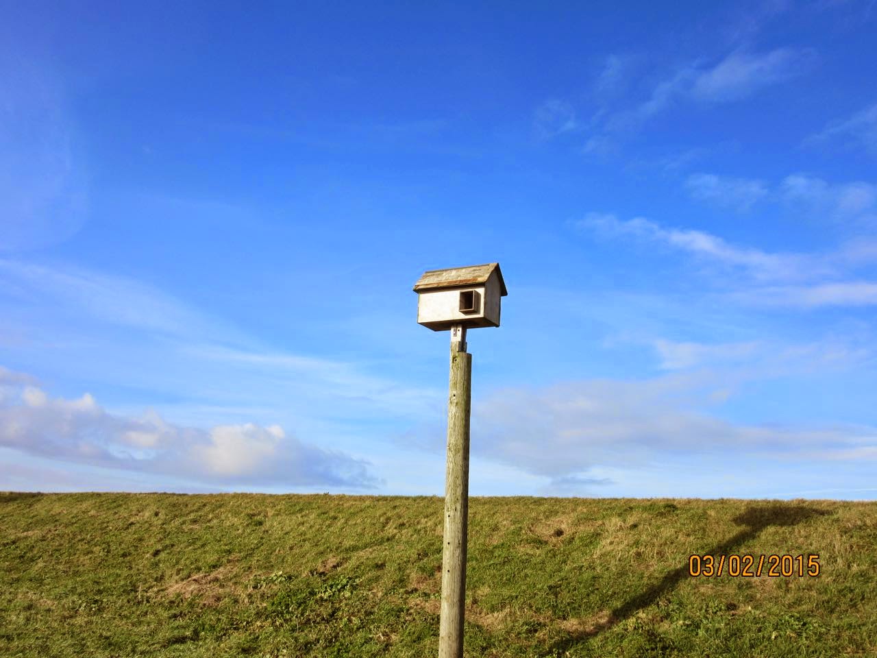
A bird box - not sure what for though
We returned via a path nearer to the river, through a field with a rather importunate pony. We were glad to shut the gate on this one, and turned right parallel to the road from Fen Bridge. Not a day for many people to be sitting on the benches, and five minutes was long enough for us!


Monday, February 2, 2015

Burghley, Stamford and the canal

This is the same walk as on January 22nd, without the detour along the Welland after the bridge.
Altogether it was about five and a half miles of flat walking. 

Tommy, Gordon, Kate, Sue, Norma, Chris and I had a fine walk in dry bright weather, starting from Burghley House car park, turning right at the bottom of the drive and walking along the new footpath by the road as far as The Dingle. 
Then we crossed the road near the bend, and took the footpath down the track to the left of the Dingle, turning right to walk round the field by the stream, and turning left to reach the railway crossing in the far corner. We followed the path over another field, and then continued to the footbridge over a stream, turning right to walk with the Welland on our left as far as the road to Uffington.
My suggestion of an extra couple of miles did not go down well! 
We turned left to cross the stone bridge, then left again to the footpath following the course of the canal.
This path continues for a mile or so, through trees with the Welland just south of us on our left.
We turned left at the first footbridge, crossed a field and another footbridge, then another field to reach the gate on to the track near the mill. Once again, my suggestion of an extra half mile was laughed at.  We briefly admired the old bottle, and greeted the crocodile improving his shining tail, before heading up the track to the Uffington Road. We waved to Morrisons supermarket, and took Priory Road. The benches in the Priory gardens were ideal for our coffee break.
From there it was simply a matter of walking down past Wharf Lane car park, over the Albert bridge, and following the Waterside road to the main road, just opposite the pedestrian entrance to Burghley Park. A short mile through the park took us back to the cars. Unfortunately the Orangery is not open on Mondays or Tuesdays.