and occasionally rides a bike.
A word of warning. The walk descriptions are not detailed enough to guide you - please take a map. The batteries never run out, and you always have a signal. Oh, And don't take left or right as gospel!

Showing posts with label West Deeping. Show all posts

Tuesday, January 27, 2015

Market Deeping circular

With Gordon and Maureen. This is the same walk as on Jan 20, without the extra section from Deeping St James. About 7 miles. The weather was less sparkling, but warmer.


Molecey's Mill

We left Market Deeping market square, along Stamford Road, walking on the right hand side path.
At the big roundabout we continued in the same direction, over Greatford Cut, and past Molecey's Mill which is on the other side. 
About 100 meters past the mill, we crossed the road and followed a footpath, between a hedge and a fence to a small river, which may be the route of the old Stamford Canal. After about a mile and a quarter we arrived at West Deeping. The path turns right just before a bridge over the river, and continues down The Lane, coming out near the Red Lion.
We turned right and walked past The Boaty, as far as Church Lane, where we turned left past the Church and West Deeping Mill and walked alongside the mill stream for a while, before turning back.
Behind the church in West Deeping
We went back along Church Lane, turned right at the junction and crossed the double bridge over the Welland. A few yards beyond this we took a footpath to the left into the meadows next to the river. A clear path along the river took us to another arm of the river. We followed the bank left to Maxey Sluice and the mill.
Old sluice gate machinery at Maxey Mill

Mill with snowdrops

Just after the mill we reached the road, and turned left. Our path left the road on the left a few yards further on. From here it was simply a question of following the river (now on our left). It goes under the A16, and comes out at the Old Market Deeping Bridge.
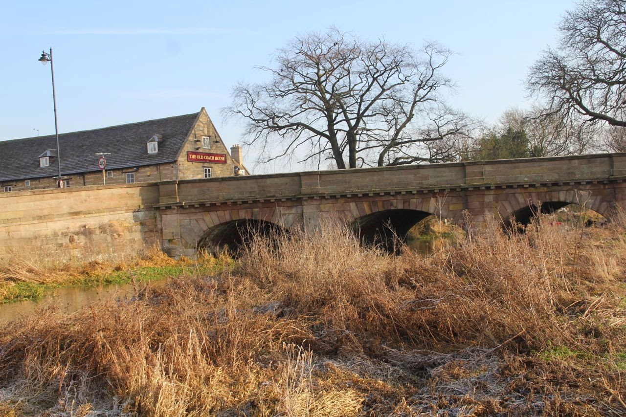
Behnd Molecey's Water Mill, I think
We turned right and followed the footpath over a couple of fields and behind some houses until it rejoined the river. We walked past the High Locks as far as the bridge in Deeping St James, before returning to Market Deeping.
Towards West Deeping

Ménage à trois?

Ménage à six?

The start of the canal

Deeping St James Bridge


Mooring stone

Map and details

Tuesday, January 20, 2015

The Welland through the Deepings

Tue, 2015 Jan 20 10:04 AM GMT
With Marta, exploring the Welland on a frosty bright day. Good underfoot, v little wind. Lunch at Lily's tearoom in Mkt Deeping. I reckon just over 10 miles.

We used a leaflet produced by Lincs County Council as the basis for the walk, starting at West Deeping, first going over the bridge near West Deeping church, then along the Welland to Maxey Mill and Market Deeping. We added an extra couple of miles from Market Deeping to Deeping St James, then returned to Market Deeping for lunch before completing the walk via Molecey Mill and the probable route of the Stamford Canal.

West Deeping church


Maxey Mill


Maxey Mill


Approaching Market Deeping


Towards Deeping St James


Fisher-figure in a landscape


Long time since I've seen that road sign!


Clock in Lilli's tearoom


Market Deeping Market place

Greatford Cut

Back towards West Deeping

Saturday, January 17, 2015

West Deeping and Tallington

Fri, 2015 Jan 16 10:18 AM
Marta and I continue to explore the course of the Welland, and the Stamford Canal. A cold day, but plenty of sun. Around 8 miles of flat walking.
We started our walk from the Boaty, which is on King Street, West Deeping. The path goes along the private road, turning right to run parallel with King Street. Just before the cemetery it turns left, and has a hedge on the right. At the next junction of paths we turned left and followed the path round the corner of the field. The footpath crosses the route of the canal, and continues as far as the railway embankment.
Before 2011 we could have crossed the railway here, but the pedestrian crossings have been closed - not surprising considered the number of trains and their speed.  Here we turned right and walked parallel to the railway to the Stamford Road by the Whistle Stop Inn. We resisted the temptation of a coffee just yet.
Cars were queuing up at the crossing gates, and we walked over the footbridge - 40 steps up and down, and probably the highest point of the walk.  We had time to spare before the gates were opened. We crossed the road and took the footpath through a gate close to the railway on our left. Our walk was parallel to the track for some distance before it turned right and led along the field edges into Tallington.


The obligatory snap of sheep


This pony is really small!
 The path comes out next to a children's play area at the side of the village hall. Here we turned left along Mill Lane, and continued until a sharp left hand bend. Our path turned to the right, and once again we were on the route of the canal, on Millennium Green.
". . .and this be the bed of the Stamford Canal"


 We continued along the footpath to Bainton Road, turned right and then left into Heron's Close - though the name isn't marked. Just to our right there is a fenced garden.
This area contains the remains of Tallington Lock - some of the oldest extant remains of canal locks in Britain.
 There's a convenient sheltered bench, ideal for our coffee break. Warm enough to sit, and try taking selfies! We were only mildly disturbed by high level military aircraft.

Ha! It works!

We strolled around the village to explore, before going to the Whistle Stop Inn for a sandwich. Friendly service and decent food.

At one time we could have made this into a circular walk,  but closed railway crossings meant we did some toing and froing in order to touch base with the river.
No, I don't think there's room to squeeze under the bridge, and it's too cold for a swim!
Back to the road, and we retraced our steps to the Boaty in West Deeping. Then we walked down to the church, and past West Deeping Mill, along the permissive footpath by the mill stream and then the river. The heron we saw didn't wait to be photographed.

Church and mill

From the road bridge over the river.
An enjoyable relaxed walk, with time to explore, and all completed before anything fell from the sky.


Map and details