With Marta. 9 miles, including a couple of (intentional) detours. Weather fine, overcast. Ground muddy in places. Our biggest obstacle was a rapeseed field!
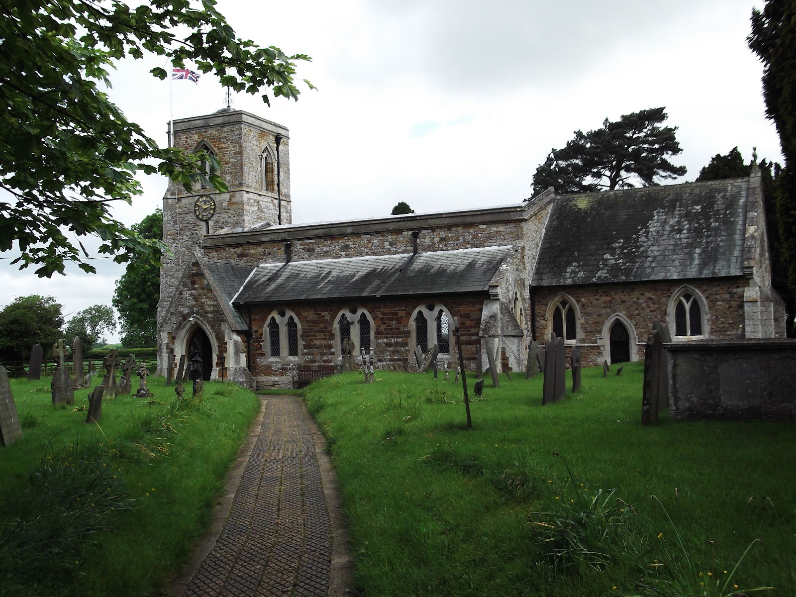
We set off from Sibbertoft, opposite the church.
 |
| Sibbertoft church |
 |
| An easy to miss footpath sign! |
From here the path was easy to follow across fields and then downhill into a short section of woodland, between Mount Pleasant and The Lawn. Slippery mud underfoot made it hard going.
 |
| Looking back up the slippery slope |
The path was easy to follow, slightly downhill until we met a road (Dick's Hill). We crossed this and followed the path round the lower slope of a hill until we reached a field where the path was marked, but completely hidden by the crop of rape. I don't think the rain and wind had helped, as the plants were leaning every which way - but this was the only field where we couldn't keep to the path, or even see where it ran. We walked round the edge of the field - easier but still something of an obstacle course.
 |
| That a way? |
At the other side of the field we found the way markers. The dotted line just to the left of the red dot shows the route we should have taken. From here, with the map and way markers everything went smoothly until we hit another rape field. This time we followed a clear path cutting across diagonally - we should have followed the field edge. However we were able to adjust our route without much trouble and arrived in East Farndon.
There's a large farm/ hall(?) with good views over the countryside. East Farndon is on a hill.
 |
| View of the church and part of the village from the disused pits/ earthworks. The signpost shows the loop of the Jurassic Way here. |
Time for a coffee break - there's a convenient bench under a tree near the church.
 |
| Just in time for coffee! |
After this we walked through the churchyard, and out across a coupe of fields. The path took us to the Oxenden Road.
 |
| The cows were lying down peacefully right next to the gate we had to use. Curious, but not too curious. |
We noticed a viewpoint on the map, a few hundred yards down the road out of our way - Rupert's view over the Naseby battlefield.

 We returned to walk along the Oxenden Road, then made another detour towards the deserted medieval village of Little Oxenden - it's supposed to be a superb site, and we could see a few bumps and hollows, but we wanted to get on, so we may not have gone far enough. Another day?
We followed the road into Great Oxenden, taking a path to the left, parallel to the road. This brought us out right where we wanted to be, opposite The George, where we stopped for lunch. We sat outside, under shelter which had been erected for the Jubilee, and ate to the sound of the one heavy shower of the walk.
We turned right out of the pub, then took the footpath to the right just before this house name post. We walked over the Great Oxenden Tunnel on the Brampton Valley Way and walked through a short patch of woodland, and then fields.
We returned to walk along the Oxenden Road, then made another detour towards the deserted medieval village of Little Oxenden - it's supposed to be a superb site, and we could see a few bumps and hollows, but we wanted to get on, so we may not have gone far enough. Another day?
We followed the road into Great Oxenden, taking a path to the left, parallel to the road. This brought us out right where we wanted to be, opposite The George, where we stopped for lunch. We sat outside, under shelter which had been erected for the Jubilee, and ate to the sound of the one heavy shower of the walk.
We turned right out of the pub, then took the footpath to the right just before this house name post. We walked over the Great Oxenden Tunnel on the Brampton Valley Way and walked through a short patch of woodland, and then fields.
We passed a farm called Waterloo Lodge, and crossed the road to the farm.
From here we continued to follow the path until we came to a T junction with another path - there's bench half hidden in the vegetation here. We turned left and followed the path until it became a wider track and swung round into Braybrooke.
Map and details
 |
| A previous visit to Braybrooke - April 2009 |