and occasionally rides a bike.
A word of warning. The walk descriptions are not detailed enough to guide you - please take a map. The batteries never run out, and you always have a signal. Oh, And don't take left or right as gospel!

Showing posts with label Southwick. Show all posts

Monday, August 2, 2021

Southwick circular (again from water tower lay-by)

 Tuesday 20th July, with Marta. Another very hot day, so we tackled the walk in the same direction, counting on getting the least shady section done first.  Just under 8 miles.


The route was as yesterday until almost mile 4. This time we followed public footpaths more carefully, which makes the walk a little longer, but much easier.


We walked past Provost Lodge Farm, and followed the path past Westwood Lodge and the remains of Tottenham Lodge, then downhill to the road. Across and past Crossway Hands Farm

and Boars Head Farm, as yesterday.


Lurking by the pond…a plastic alligator…


There was still little shade on this route as we passed the building I guess is used for shooting parties, securely locked nowadays.


Then we took the footpath to our right into the welcome shade of the woods


and back to Southwick


After this we had a wild goose chase for drinks and sandwiches afterwards. A garden centre restaurant - closed, and the Chequered Skipper at Ashton - also closed. We ended up going home.

Southwick circular from water tower.

Monday 19th July

The day started cloudier and fresher, but forecast likely to heat later. I met Eddie at 9.20 at the lay-by near the water tower.  It was already very hot. We walked across to Provost Lodge Farm near Glapthorn Cow Pasture, following the path to the ruined Tottenham Lodge, then downhill toward the road, with very little shade.


Across the footbridge to the road, and across to the drive past Crossway Hands Farm. This continues past Boars Head farm with its bowl of water for dogs, and pond opposite and goes downhill. We took a track to the right, but had to divert into undergrowth after seeing a sign “Stop! Go no further!” 

Machetes would have helped but we emerged onto another track which soon joined a public footpath.


We followed this to the edge of the wood. The sight of the water tower confirmed that our direction was good, and we crossed a field into Southwick.


Unfortunately on this hot Monday the Shuckburgh arms was not open, so we walked up the road to rejoin the lay-by.

Thursday, July 16, 2015

Southwick circular.

Thu, 2015 Jul 16 9:30 AM 
With Gordon. From Water tower, to Southwick, then through Woods. Fine dry weather with some sun. 8 miles.
We parked in the lay-by near the water tower on the Southwark to Glapthorn Road, and walked down to the village, to take the footpath just before the church - this passes the Hall gardens, where the metalwork figure of Henrietta (Moraes) is barely visible at this season. We walked almost exactly this route, but in reverse, on January 30 2012 and there is a picture and info about Henrietta there.

Down the lane past the hall we cross a footbridge and follow a path straight across the field heading for the woods. There is a bench at the edge of the wood.  Just inside the wood there is a choice of a path straight on, or a turn to the right. We turn right and follow the path just inside the wood. It turns left and continues until it meets a track. We don't take the track, but cross it on to a path with a "no horses" sign. We follow this for half a mile or so, until it emerges from the wood, at another bridge.
Here we turn left along the edge of a cornfield, then follow the field edge right and uphill. I meets a small road, going to Apethorpe Grange. We turn right and before long follow a diverted bridleway sign to the left. There is a lake nearby, but today we saw nothing of it as the hedges are now high and thick. 
The bridleway comes out near Lodge Farm, where we take the small road to the right, heading for the corner of Tomlin Wood. There is a choice of three tracks, and we take the middle one leading to Morehay Lawn.
A hare enjoying the warm sun on the track by the woods of Morehay Lawn - it waited some time before running off

The path turns left at a fenced off building, then downhill and right towards another footbridge and into Holey Brookes Wood. Part way through we take another path to our left, and at the next path junction we turn right and join the track southwest past Boars Head Farm, and eventually Crossway Hand Farm, down to the Bulwick to Southwick road.
Looking back from near Boars Head Farm

where some kind person caters for tired walkers and their dogs!
We cross the road and take a track to the right just after the bridge. We cross a footbridge, and head uphill along the field edge - a short, steepish climb.
Mallow flowers
Today we vary our previous route slightly, and when we reach the ruined Tottenham Lodge we continue on the track, turning left at Westwood Lodge, with its horse manege, and noisy dogs.
A fungus of some stature


Gordon is there to show the scale of the beast!
The path heads straight on from here to Provost Lodge Farm where we meet our old route, and turn right through a gate, between two large barns, and on to the track past two fairly large fields. At a gate with a waymark sign we turn left and follow the ridge for a good mile and a half heading slightly north of east through fields of cane, towards the water tower and the car. We pass Short Wood Nature Reserve on the way.

We walked it in reverse, without the section from Glapthorn, and took a slightly different route near Provost Lodge Farm.

Saturday, October 11, 2014

Bike ride to Oundle

Saturday 11 October, early afternoon.  With Harry. About 25 miles return trip. Dry, sunny spells. 

We cycled to  Deene, then almost to Bulwick - had to cross A43 to get there. Just before Bulwick we turned right and uphill, the  along the road to Southwick. The World Conker championship is held there on Sunday 12 October this year.  http://www.bbc.co.uk/news/uk-england-northamptonshire-29574953
We went once years ago when it was in Ashton. 

Then it was uphill from Southwick to the water tower, then down the other side to Glapthorn and finally Oundle. 

The farmers' market was just packing up - we wouldn't have bought anything since we were on the bikes. We had lunch in the café nearby, then made out way home the same way.
Southwick church with a lively sky behind. 
When we got home it began to rain and there were several claps of thunder. Excellent timing! 

Monday, December 16, 2013

Glapthorn circular via Southwick

Thu, 2013 Dec 12 9:32 AM GMT
Led by Barry, with me and Gordon. Fine weather with mist and cloud. Some mud. Good views. Just under 9.5 miles.

We start from a footpath near Glapthorn primary school. This takes us northwest towards Short Wood, but we turn left just before this. We follow the path through fields of bamboo and then through a gate and across pasture.
When we meet the farm track with Glapthorn Cow Pasture ( a woodland area) just beyond, we turn to our right and head northwest again past Provost Lodge.  The path goes between two buildings, and through a gate.  Then it's downhill to cross a muddy section - sometimes a stream.

Up the hill and across a couple of fields, then we turn left, and keep the hedge on our right until we reach the derelict Tottenhoe Lodge.  Another right turn and we head north, down the hill to the road between Bulwick and Southwick.  We cross this, pass Crossway Hand Farm, and continue for about a mile with the wood on our right.  Eventually we enter the trees and take a turn to our left.
We soon meet a T-junction of brdileways - we take the right hand turn here, through Holey Brookes wood, and towards Morehay Lawn. At this point we're headin north east. We keep Morehay Lawn wood on our left, and at the corner of Tomlin Wood we turn right (south east).  This takes us near to Lodge Farm, where the route of the bridelweay has been diverted from the OS map route.  It now goes round the north side of the lake, rejoining the original route near Cheeseman's Lodge.  This is all well-marked on the ground.
Lake near Lodge Farm

We follow the track more or less south until we reach the woodland.  Here we turn left along the edge of the trees for a short distance before turning right ( and pretty well south again) into the wood.
Recent wind damage?
After about half a mile we come out at a corner and follow the wood edge south, then west, then south again.
Another des. res?
There's a fine new bench here, and on a fine day the water tower between Southwick and Glapthorn is a good landmark.
See the water tower?
 Keep this directly ahead and the path through a field takes us directly to Southwick, over the brook, and past Henrietta, coming out near the church.
Southwick church


We cross the road, and walk up the hill past the water tower, then take the footpath to our right near the layby.  This path skirts the southern edge of Short Wood, and when we reach the point where the wood edge turns to the north, we take the path a little further on.  It turns right, and we rejoin the path leading to Glapthorn School, where we started.


Monday, January 30, 2012

Southwick circular

Led by Barry, with Maureen, Eddie, Gordon and me.  Fine, coldish wind. 8 miles approx. I managed to screw up my garmin trace.  The route is similar to the one we did on 19th September, but slightly longer, and walked in the reverse direction.

We started from Southwick church, and followed the lane where the two benches are. At the bottom end of the lane, if you look to the right, you will see Henrietta, of whom more later.


The lane crossed the stream via a bridge just beyond the ground of the Hall. The path wends its muddy way across the field straight into the woods, but we turned right (east) instead of straight ahead, then later left (north) through Howe Wood.


We followed the path around the wood, turning left alongside the wood, then right along a field boundary. The huge Apethorpe Grange came into view, and we followed the 'diverted bridleway' around the small lake, where we saw three herons, as well as a few gulls.  The path took us round more or less three sides of a square, coming out near Lodge Farm.  Here we took the road to the corner of Tomlin Wood, where there was a choice of three tracks. The middle one leads towards Morehay Lawn and wood. We climbed up gradually pausing for a break at a 'bothy'. (Not often you find a flush toilet out in the sticks!) Then we followed the way marker down to the left.
The walk continued past Morehay Lawn and into Holey Brookes, where we turned right, then left just before Southwick Wood. The path runs slightly south-west,  alongside the wood, and past Boars Head Farm and Cottage, and becomes a surfaced track,  leading gently downhill, past Crossway Hand Farm, down to the Southwick Road.

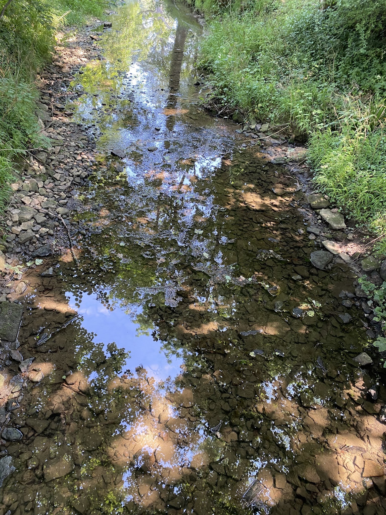
Across the road, we crossed a bridge and followed the path uphill along the hedge as far as the derelict Tottenhoe Lodge. Here we turned left following the hedge, then through a gate and diagonally across the field to another gateway. Here the path dips down into the hollow. There is a stream marked on the map, but even in January, there was no more than a muddy trench with the odd puddle. A bit of a drag up hill to the farm at Provost Lodge, where we walked between two outbuildings, then followed the road until at the top of a slight rise there is a gate, and the path turns left. We continued along the path beside the dried bamboo, past the Short Wood Nature Reserve and emerged on the Glapthorn Road, near the Water Tower. A short half-mile down the road, and we were back at our start point.


Eddie wanted to dip his wellies in water. I wanted to photograph Henrietta (see above). Off we went to the bridge where we met a man with a dog. He told us he'd made the figure, inspired by Henrietta Moraes who was a 'muse' of Lucian Freud, and Francis Bacon.  Bacon's portrait of her is being auctioned at Christie's next month, as it happens.


Bill Richardson, a resident of Southwick for 76 years, also showed me these two works representing the changes in agriculture over the period.  


I was reminded of the implement gate we saw at Holly Lodge near Moulton, on Monday 8 August 2011. No connection apparently.


Bill Richardson also made the stone village sign, which I'll photograph later, and produced a book (The Arm of Coincidence?) under the name of Bill James.

Map and details - health warning - chunk in middle where I'd switched tracker/timer off, and chunk at end part of homeward car journey

Monday, September 19, 2011

Southwick and woods, circular

With Barrie E, Terry, Sue, Kate, Ian and Carol, Phil, Barry O, Gordon, Maureen, Eddie. Fine sunny morning. Just over 6 miles. And no stiles.


This walk follows the same route as the one from Wed,  September 7th.  This time we started from the lay-by just after the water tower on the road to Glapthorn from Southwick.  I haven't written up details, as they're on the linked post, but here are a few snaps of some of the 'gang'.


Crossway Hand Farm


Not 'one of us'.
Map and details

Wednesday, September 7, 2011

Southwick and surrounding woods

About 6 miles.  2 hrs 15 mins. A couple of showers but nothing really wet. As I got home the sun came out. 


Lovely walk, with only likelihood of wandering off track right in the last half-mile or so.
Quite up and down. I parked by Southwick church and walked up to the water tower on the Glapthorn Road, but there's a fair sized lay-by at the top. Of course that puts the uphill road walk at the end. 


The track starts about 100 yards past the water tower, to the right. 
It runs through at least three fields of this crop - is it bamboo? Pandas next?


(I'm told this is a bio-fuel crop)

It was very windy up on the ridge, but the plants were some protection as they were taller than I am.


The hedges around had lots of blackberries.


For much of the way the path runs beside Short Wood Nature Reserve.


After about a mile or so the track comes to a metal gate leading into a large meadow, and today I was treated to the sight of these two little deer.


I was surprised when they came towards me at first, so I tried to get a shot - usual problem of the wrong lens for the job, and the splodges are raindrops! It was a joy to watch them leaping about. The wood behind the deer is part of Glapthorn Cow Pastures Nature Reserve, famous for nightingales in May, and black hairstreak butterflies in June.The cows were in the lower part of the field keeping themselves to themselves.


The track goes across to another gate, then right on a road leading to Provost Lodge.  I followed the path between the two big barns and through a gate then downhill.  According to my instructions it crosses a stream, but it looked as though there has been no water in the stream bed for some time. The path goes uphill to another gate, past a gap in the hedge.  At the gate I went slightly diagonally left towards yet another gate. Then turn left towards an old farm building - this part of the walk is alongside a ploughed field. There is a bit of grass along the edge, but it's a bit rough in places.
At the old building (Tottenhoe Lodge) turn right and carry on going north, with a hedge on your right until you reach a wooden footbridge almost on the road.


There's a bridge which you have to cross - it brings back memories of cycling over to Suffolk almost twenty years ago, as I remember stopping here for a rest, and Harry drawing Crossway Hand Farm on the hill.


I followed the concrete track towards the farm, turning left just before it, and then along the track towards Boars Head Farm. There is woodland immediately on the right, but no public access as it's a conservation area.  The track continues as a grassy path just past Boars Head Farm, going downhill and entering the wood, at its narrowest point.  There is a clear path to left and right. We go to the right along a gravel track signed with a horseshoe.  As I walked along here, I first heard, then saw a couple of jays - are they burying acorns already?
 I followed the route straight through, past three paths to the right.  The last one of these leads to Shire Hill Lodge, but the path becomes very narrow for a short distance before joining the track .
Soon there is a small plantation of fir trees on the left, and at the end  a footpath cuts across the track.  I turned right - it's clearly marked as a footpath, but not for horses.  The path turns left after another young pine wood.  When it joins a gravel track go straight on, not to the right.  A little later turn right and follow this path directly to Southwick.


(If you come out of the wood and spot the Water Tower on your right, a little behind you . . . retrace your steps. It should be pretty well straight ahead.)
Spot the statue?


You arrive at the church after crossing a footbridge over a stream and following a small lane to the footpath signs and two benches.


Thanks to 20 Best Local Walks, by Nicholas Rudd-Jones, for this route.
Map and details