 We parked at Southey Woods - walked north, then west, following the main path through the woods until we reached the metal gate, where we turned right, north along the bridleway known as "the drift". At Marholm Road we turned left , swinging right through Ufford. This village is well worth a wander.
The information board was erected in 2000, and explains the history of various buildings.
 |
| The church stands at the highest point in the area, and was the site of a beacon, one of a chain nationwide, warning about the Spanish Armada. |
 |
| Ufford Hall is a grandiose building dating from the 18th century. |
 |
| Picturesque houses. |
Newport Farm MCCLXX

Before the last of the village buildings we took a footpath to the right which follows the edge of fields. Be sure to take the path to the left of the hedge when this is possible, and you'll avoid the hedge burrowing experience.
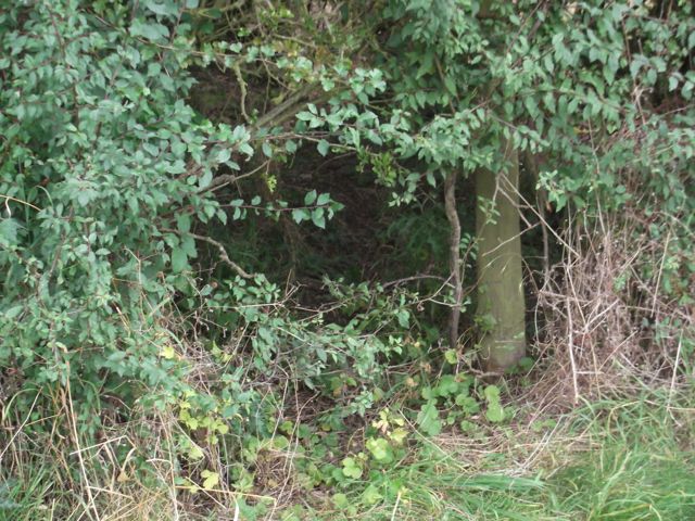 |
| Exit strategy? |
We turned right here and followed the road to the T-junction. We turned left along the only slightly busy stretch of road. At the cross roads we carried straight on the to Granary tea shop.
Here we had a well-deserved coffee break, while the heavens opened. Luckily this didn't last long.
We followed their private path into Castor Hanglands and through Ailsworth Heath. We kept going south through the wood. This was noticeably muddier than it had been last week. I was lucky enough to see a fox cross the path a short distance ahead of me.
Outside the wood we walked south until we saw a sign and a cross track. We turned right (west) and followed wide track along the field edge. The wheat we saw last week has been harvested, but those strange structures - horse jumps? - are still there. Instead of turning right and across fields to Manor Farm we continued west beside trees until the path turned sharp right, then left (labelled on the map as Blind Lane track). At the left turn there are tree stumps obligingly carved with an initial each - these make excellent seats. We followed Blind Lane as far as the road, where we turned right and walked past Model Farm and through Upton village.

We followed Church Walk round until we emerged nearly opposite Manor Farm and the church.

 We were curious about this stone pillar, fenced off in a field near Manor Farm


Here we had a well-deserved coffee break, while the heavens opened. Luckily this didn't last long.
We followed their private path into Castor Hanglands and through Ailsworth Heath. We kept going south through the wood. This was noticeably muddier than it had been last week. I was lucky enough to see a fox cross the path a short distance ahead of me.
Outside the wood we walked south until we saw a sign and a cross track. We turned right (west) and followed wide track along the field edge. The wheat we saw last week has been harvested, but those strange structures - horse jumps? - are still there. Instead of turning right and across fields to Manor Farm we continued west beside trees until the path turned sharp right, then left (labelled on the map as Blind Lane track). At the left turn there are tree stumps obligingly carved with an initial each - these make excellent seats. We followed Blind Lane as far as the road, where we turned right and walked past Model Farm and through Upton village.

We followed Church Walk round until we emerged nearly opposite Manor Farm and the church.


 |
| Church of St John the Baptist |
 |
| W.C. 1767 |
We returned to the track which took us over the cattle grid and headed north towards Southey Woods car park. On the way we passed this 'observation tower', but decided not to try climbing the rather uninviting steps.

Soon afterwards we could see the car park where we finished the walk.
Map and details


