and occasionally rides a bike.
A word of warning. The walk descriptions are not detailed enough to guide you - please take a map. The batteries never run out, and you always have a signal. Oh, And don't take left or right as gospel!

Showing posts with label Pilton. Show all posts

Friday, November 26, 2021

Wing, Pilton, Morcott, Glaston Wing.

 Monday 15th November 


The view on the drive over between Glaston and Wing


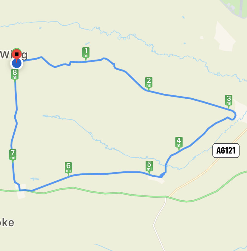
Walk with Eddie, Maureen, Norma from Wing to Pilton to Morcott to Glaston to Wing. Break at Morcott.
More magical lighting to the north as we walked between Wing and Pilton


St Nicholas Chirch, Pilton, peeping through.

Some Rutland horseshoes - the devil can’t swing in them when they are this way up!

North Luffenham Church in the distance, as we approach Morcott


8.3 miles. Began cloudy, misty then brilliant sunshine and autumn colours.
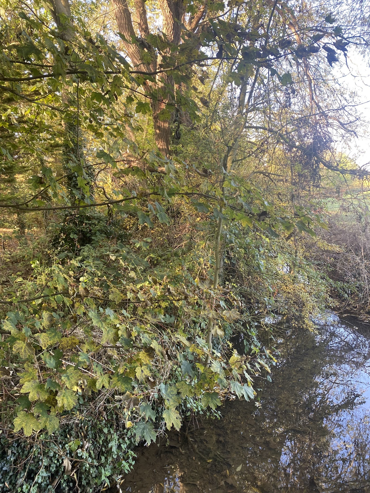
A tributary of the River Chater


Morcott church


Glaston Church

The view over the valley between Glaston and Wing, now the mist has cleared.


Back at the Maze.

 The same as this walk from 2014 and this one from 2019.

Thursday, February 28, 2019

Wing, Pilton, South Luffenham, Morcott, Glaston and back to Wing

Thursday 28 February 2019. With Maureen and Eddie.  Seven and a half miles.

We set off from the maze in Wing, taking the footpath just to the right of the bridle way, and taking the four stiles in our stride.  
Catkins
The path crosses the road between Wing and Lyndon and continues across a fairly recently ploughed field - nice and dry today - before joining the Road into Pilton on the outskirts of this small village.
Two-L llamas...
We walked through he village past St Nicholas church surrounded by its cedars.


Three sketches done in August 2016:


After the church we turned right and at the crossroads ahead we turned left and walked until a bridleway left the road on the right hand side, as the road bent left. The bridleway continued in a roughly easterly direction, crossed anothe minor road and brought us to South Luffenham, just before a bridge over the route of a dismantled railway. We detoured briefly for a look.

The dismantled railway track

We went back to where our path turned sharply to the right, heading southwest towards Morcott, through fields with some already sizeable lambs.
The path turned left ( south) and took us over a stream and into the village.
Best friends forever...

An eccentric garden - there were also chickens with feathery legs.
The church provided us with organ music and a couple of benches for a break.
Church of St Mary the Virgin -a Grade 1 Listed architectural gem featuring probably the finest original Norman arches in Rutland, according to its website.
From here we continued, turning right along the road after the church, and taking a footpath to our left. This led olong field edges up towards the A 47, going over the Glaston Tunnel. We walked briefly alongside the A47, and took the first road to the right, then went along Church Lane, and walked through the churchyard.

On the other side of this we turned right and followed the road down into the valley and back up to Wing via the Maze and a short pause for a swing at the children's playground!


Maureen and I had lunch at Wellies - beetroot and horseradish soup.

Monday, February 13, 2017

Wadenhoe, Aldwincle, Pilton, Achurch

Monday 13 February 2017, 9.45. Maureen, Steph, Norma, Tommy and me. Fine sunny morning after the wet weekend. Same route as last Thursday, though we took the road from Lilford bridge to Achurch instead of the Nene Way through the woods.  Not too muddy underfoot.

Swan on the Nene near Wadenhoe

Is this alder??

Aldwincle church

The track from Cross Street

The bridleway was probably the worst section for walking

Another buzzard, too distant to get a decent photo

Pilton church

A break in the sun!

Snowdrops

Back down to Wadenhoe

The mill with blue sky.

Ignore anything after the 7 mile point! 

Saturday, February 11, 2017

Wadenhoe, Aldwincle, Pilton, Achurch

Thursday 09 February 2017.  With Maureen.  The reverse of Tuesday's walk, with a little extra.  7 miles in all. Muddy in patches.

We parked near Wadenhoe village hall, and walked along the Nene Way path, below the church towards Aldwincle.


 On the way we passed this fire-pit, perhaps for scout camps?
 We followed the path into Aldwincle, emerging near the church, where we turned right and shortly afterwards left along Cross Street. This becomes a farm track - with puddles, but easy enough to walk along. We turn right when we meet the bridleway (once the Thrapston to Oundle Road . . .). When we meet the metalled road we turn right again on a footpath  beside the hedge. this leads to the road between Aldwincle and Wadenhoe.
A short section of road walking and we arrive at Wadenhoe War Memorial. We make good use of the bench!
We followed the road past the houses on the way out of the village, and at the bend took the footpath signed to the right. There are two paths, and we took the one through a gate and fence, then across the field to the opposite corner, where the path goes into a short section of woodland before rejoining the road towards Pilton. 

Carvings on the Bede House

We went through Pilton, past the Bede House, and to the church, before turning south across fields.  One gate and a stile and we reached the road heading to Lilford and Titchmarsh. We turned left over the two bridges across the Nene, then picked up the Nene Way footpath through the Linches. There are a few muddy patches here.

Up through the Linches

Almost an owl
Just as we reached the road to the church at Achurch, there were snowdrops everywhere.
The Nene Way goes through the churchyard, then downhill over a grass field, crosses a branch of the river and another field before arriving back in Wadenhoe near the Mill car park.

On the way we saw a red kite. As always it was too quick for me to get a decent snap!


And finally a few exotic chickens.