and occasionally rides a bike.
A word of warning. The walk descriptions are not detailed enough to guide you - please take a map. The batteries never run out, and you always have a signal. Oh, And don't take left or right as gospel!

Showing posts with label Cottingham. Show all posts

Saturday, July 20, 2024

29th April 2024 -Cottingham and Middleton

 A four-mile meander,


with Maureen and Norma from East Carlton to Middleton and Cottingham, with a stop at Cottingham’s cafe for coffee and teacakes.


Friday, October 10, 2014

Gretton to East Carlton

With Marta - part of our exploration of the river Welland.
This was an alternative route to the one in the Around Corby book. somewhere about 8 - 9 miles, on a beautiful autumn day, mainly warm and sunny, with a chill breeze.


Gretton church was resplendent and golden against the morning's blue sky as we left the village.
We made our way down to the Welland, and walked along the valley footpath past the weir and on for a long mile to Caldecott.

Too much breeze for sharp reflections at this point.  We walked into Caldecott, then turned left on the A6003, over the bridge, and turned right to walk along the road to Great Easton.  The pumpkins below are still growing - nearly three weeks until Halloween.
At Great Easton we turn left at the village green, just past the pub.

Past the old corset factory, and to the end of the houses, then we take the footpath to the left, through a field of cows and one with four horses. We're still on the Jurassic Way, and signs are good. Eventually the path  we're following takes us to a road where we turn right and walk uphill to Bringhurst.
The church has a much bigger churchyard than I'd expect.
The inside is very simple, and contains a tomb cover dating back to the ninth century, which was discovered in thick ivy during renovations not long ago.
We walk past the church and take the Jurassic Way footpath downhill across fields - easy, dry walking today!
Drayton and Neville Holt can be seen in the distance.
We cross two fields, then a disused railway line.  There's a new gate and a footbridge, taking us to a path where we turn left. The path soon becomes a wider track and crosses the Welland.

The maize is much taller than we are.

Just before we meet the road there is a footpath sign leading us along the edge of fields and across the playing field behind Cottingham school. When we come on to the road we walk into the village and past the Spread Eagle, turn right to the church and take the high level footpath past the old school, with views over the valley. Then it's  down School Hill, past the Red Lion. We cross the road and take the footpath between houses - still the Jurassic Way. 
This takes us along the edge of East Carlton Park. The cows are in the field to our right, the parkland on our left.   Part way along we turn left and walk through the park to the café, where we have lunch.


All day the weather has been fine!

Friday, June 29, 2012

Jurassic Way 8 :Cottingham-Bringhurst-Gt Easton-Rockingham-Gretton

This is the same route as this walk from September 1st 2011, but we started from Cottingham, and picked up the Jurassic Way on Mill Road after the school and playing field.
The footpath hugs the edge of the playing field, before going along between hedges and emerging at the junction of a road and a track to the right, marked on the map as "Occupation Road".  We followed this over a bridge across the Welland. 


There is a left hand bend and before long a footbridge where we turned right to head towards Bringhurst high on its hill.
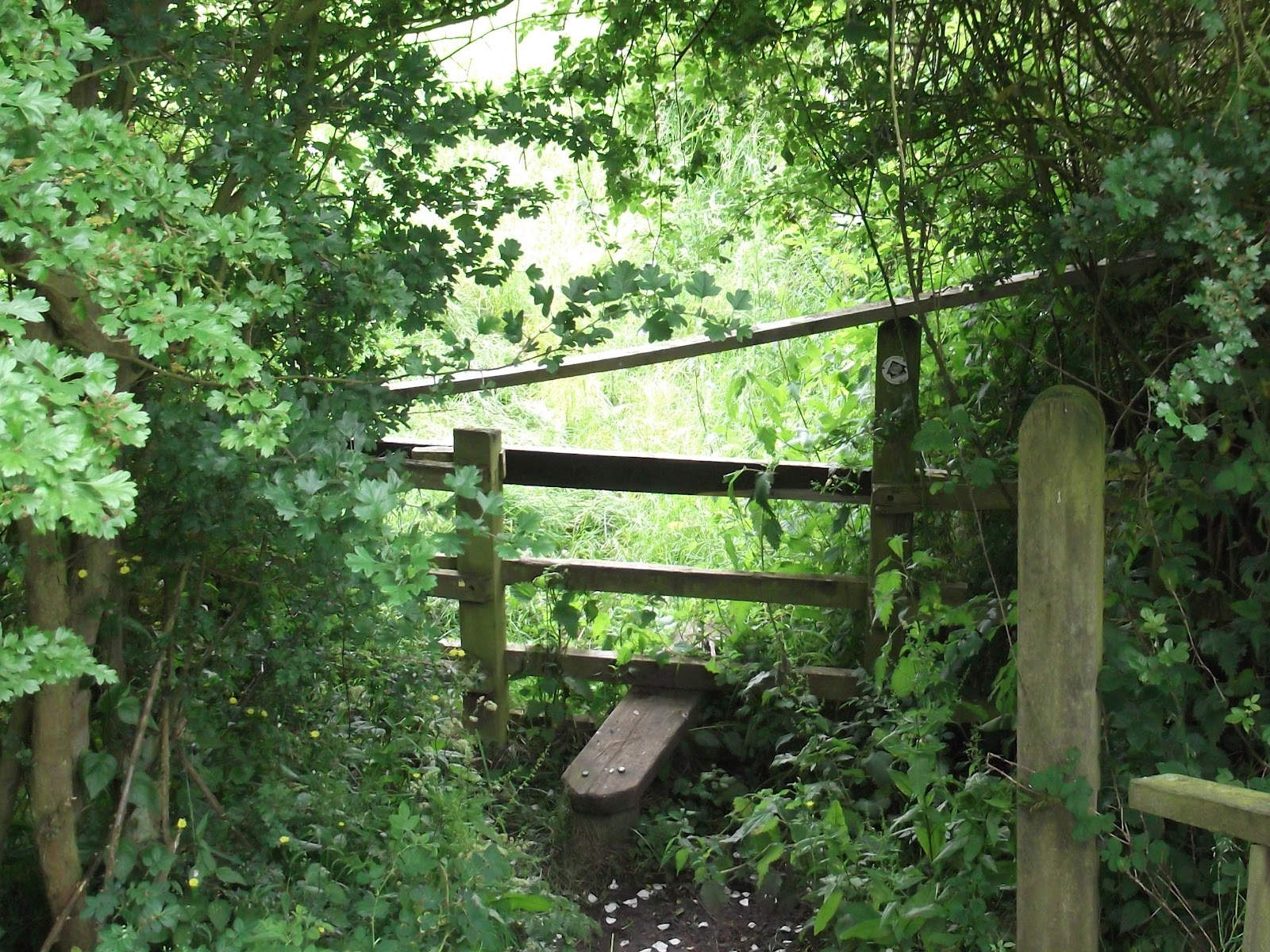
This stile is not very welcoming with the extra crosspiece!

and this way marker isn't very clear

Three fields of overgrown wet oilseed rape up to Bringhurst
The section from the dismantled railway and through the fields to Bringhurst was very hard work, and we ended up soaked, even though no rain was falling.
Looking back from the edge of Bringhurst

 From Bringhurst, we turned turned right at the road junction. A couple of hundred yards down the hill is a footpath sign to the left, and the path goes round the hill, below the site of a Roman villa, and then behind Bringhurst primary school and across a couple of fields before reaching the road at Great Easton.  

Possibly the oldest cottage in Great Easton

Turn right and over the stream, following the road to the centre of the village.  Turn right at  the Sun Inn, and continue along the road towards Caldecott, past a house with horseshoes on the wall.
A little farther on there is a small cemetery with the graves of the Cave family. After this we took a track to the right, with recycling banks at the start. The track leads across the dismantled railway and behind some buildings, across a footbridge over a stream, and then a bridge over the Welland. 
Just after crossing the river, you turn left and go through a hedge to follow the path between two hedges. This leads to the road between Rockingham and Cottingham.
Slightly to the left across the road is another footpath sign.

The path takes you thorough a couple of fields and gates to Rockingham's cafe and shop, where we stopped for an early lunch.  We sat outside, although there were a few sudden gusts of wind.   The path emerges on to the main road by the Sondes Arms.  
We went up the hill, and turned left at the sign for the footpath to Gretton.  This goes to the right of Rockingham Landrovers yard.  We went through two gates, then diagonally down the field.  From here it was mostly a question of following the path, keeping a look out for gates, and avoiding the path which crossed our route.
From West Hill, Gretton, looking over the Welland Valley

More changeable June skies
The walk ends with the steep climb up West Hill and into Gretton.


Map and details

Wednesday, June 13, 2012

Jurassic Way 7 - Braybrooke to Cottingham


Braybrooke Church seen behind the site of the castle
The path leads under the mainline railway
The Jurassic Way goes behind a plant nursery, and through paddocks
then leads uphill through a wheat field
This bridge is rotting, but there may be a gate nearby.
The woodland is on our right. Over to the left we can see Brampton Ash Church
We had to walk through a corner of Stoke Wood
In Stoke Albany
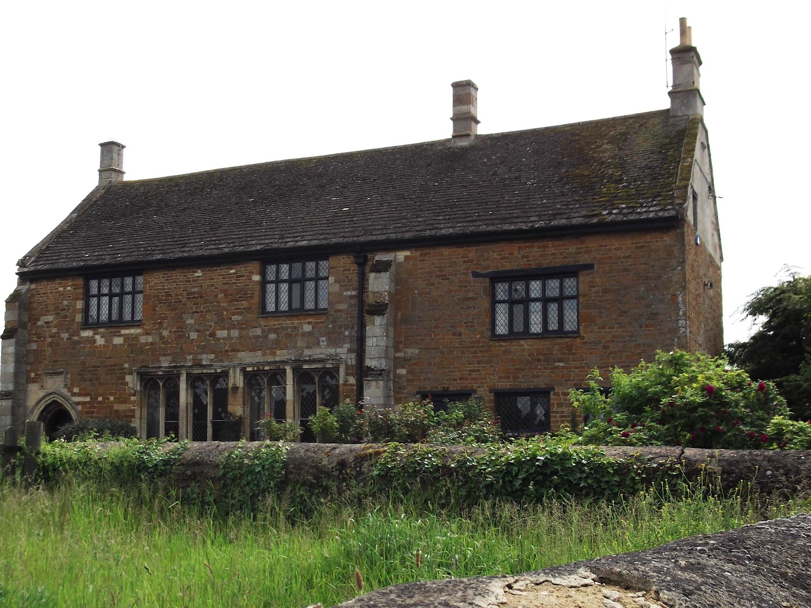
Manor House


Remains of moat

Saint Botolph's church, Stoke Albany

Wilbarston Church

Map and details

Thursday, September 1, 2011

East Carlton - Gretton, via Cottingham, Bringhurst, Great Easton and Rockingham

Part of Mel Jarvis's Around Corby Walk, but anti-clockwise.
map and details

With Barry.  9 miles - fine warm and sunny. Lovely day for walking.


We arrived before the main car park at East Carlton was open, and set off past the café and across the field between the café and the pond. 


 We went down to the path (Jurassic Way) running along the lower edge of the park.  We turned right and followed the path until it emerged opposite the Red Lion.   Next we turned right and then left up a steep hill, past some houses with a magnificent view over the valley. A gate leads to a narrow path which took us to the church, then down some steps into Church Lane.
 At the Spread Eagle we turned left and walked down the hill to the road junction.
We took the Bringhurst Road, and walked past the primary school until we came to a gate on our left, with a footpath sign half hidden in the hedge.  The footpath hugs the edge of the playing field,  and emerges at the junction of a road and a track to the right.  We followed the track over the Welland and round a left hand bend and as far as a footbridge where we turned right to head towards Bringhurst high on its hill.  
More info about Bringhurst

The path leads across a dismantled railway line with steps on each side, then over another footbridge and across two cultivated fields, one fairly flat, the other a steepish hill. 
After picking a few blackberries we crossed a smaller grassy field and climbed over a stile into Bringhurst village.  
We passed the church and a few cottages, and turned right at the road junction. A couple of hundred yards down the hill is a footpath sign to the left, and the path goes round the hill, below the site of a Roman villa, and then behind Bringhurst primary school and across a couple of fields before reaching the road at Great Easton.  Turn right and over the stream, following the road to the centre of the village.  Turn right at  the Sun Inn, and continue along the road towards Caldecott, past a house with horseshoes on the wall, and a small cemetery with the graves of the Cave family. After this we took a track to the right, with recycling banks at the start.
The track leads across the dismantled railway and behind some buildings, across a footbridge over a stream, and then a bridge over the Welland.


Just after crossing the river, you turn left and go through a hedge to follow the path between two hedges. This leads to the road between Rockingham and Cottingham.
Slightly to the left across the road is another footpath sign.
The path takes you thorough a couple of fields and gates to Rockingham's cafe and shop, and out to the main road by the Sondes Arms. 


We went up the hill, and turned left at the sign for the footpath to Gretton.  This goes to the right of Rockingham Landrovers yard.  We went through two gates, then diagonally down the field.  From here it was mostly a question of following the path, keeping a look out for gates, and avoiding the path which crossed our route. 


more to come . . .