and occasionally rides a bike.
A word of warning. The walk descriptions are not detailed enough to guide you - please take a map. The batteries never run out, and you always have a signal. Oh, And don't take left or right as gospel!

Showing posts with label Armston. Show all posts

Thursday, April 10, 2025

Polebrook, Armston, Barnwell

 Monday 7th April

A circular walk from Polebrook to Barnwell with Norma.  Fine sunny morning.  


The walk came from a local magazine 
https://stamfordandrutlandliving.co.uk/articles/walks/polebrook-barnwell/

Things were straightforward as far as Barnwell, with one deviation where we saw reindeer,


but we soon got back on track.


More thatched figures in Barnwell.  


We stopped at the Montague Arms for a leisurely coffee, then walked to the end of the village, by the brook.


We made our way back over rather a lot of flat fields, into the easterly wind a bit.

Came slightly unstuck at the wood near Polebrook - we must have missed the proper path, so did a woodland cross country course, cracking dead wood as we went.


The path was there at the other side.  Needs a short recce before we take anyone else!


On the way we saw a peacock or two and an orange tip.

We lunched at the Barn Garden Centre just outside Oundle - pleasant, good service etc. Had a vegan sandwich (I don’t often eat vegans, but…) - hummus and salad. 

6.3 miles in all.


First part of walk wasn’t recorded!

Wednesday, April 16, 2014

Barnwell circular, via Armston

Mon, 2014 Apr 14 9:20 AM BST
Led by Barry with me and Maureen. Mostly good paths on clear fields. Not much mud. Fine if windy. Almost 8 miles.

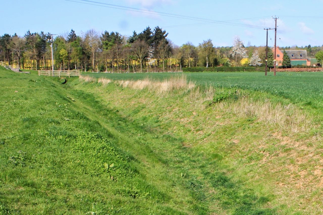
We head south out of Barnwell, past All Saints Church - and take the non-Nene Way bridleway which leads across a dyke-cum-drainage ditch beyond Lower Farm.
The path turns slightly and leads south east over Barnwell Brook with its small sluice, and uphill slightly. There are cowslips and other flowers along the way. We join another bridleway, swinging slightly further towards the east and making for Bull Nose Coppice.
Here our path turns 90 degrees to head more or less northeast, then north, passing South Lodge Farm on our left, and heading to the minor road.  We can see the village of Thurning a mile or so away on our right.
We cross the Thurning to Barnwell Road, and skirt North Lodge Farm before resuming our course to the north. We're getting ready for a break, and find a sheltered spot with a fine view of the water tower.
We follow the field boundary for a couple of fields, then cross the Barnwell to Hemington road. We catch sight of Polebrook church some way ahead of us. The path goes straight ahead, turns left then right following field boundaries, then diagonally over another field, through a short stretch of woodland, and across a narrow field. It turns left and follows the hedge, then right and along until it meets a "privately maintained road, where we turn left, almost retracing our steps for a couple of hundred yards. We follow this road as it bends right and takes us into the hamlet of Armston.

The road swings left and as it bends to the right once more, our path goes off to the left, south east. It crosses a field and skirts Armston Grove woodland.
It continues in the same direction behind Barnwell Manor, eventually turning left and into the village.