and occasionally rides a bike.
A word of warning. The walk descriptions are not detailed enough to guide you - please take a map. The batteries never run out, and you always have a signal. Oh, And don't take left or right as gospel!

Friday, September 10, 2021

Around Carrshield

 A morning “stroll”, I said. “before coffee.”

Just over 2 miles, taking 1and a half hours, only 240 feet of climbing, but boggy and bumpy terrain….


.


First a wander round the tiny cemetery - the heart shapes appear to be restored inscriptions.
Down to the footbridge over the tiny River West Allen. 

And up the other side, with a look back at the village

The path through access land, turns right just before the Miner’s Rest farmhouse, and goes along the bottom of their garden, with a gate at each end.
On the track just beyond is a building which. may have something to do with the old lead mines.

The next part of the walk is rough ground, crossing a small stream or two, past cattle
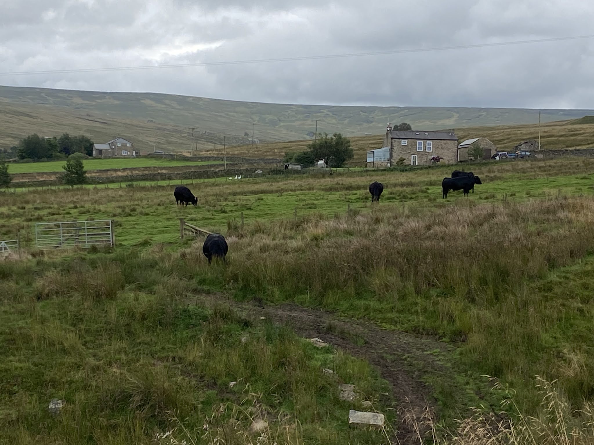
then following a wall until we reached  a footpath to our right.


The going improved …a little…

The remains of another old building

Another tricky bit of descent to a footbridge

back over the River West Allen

uphill along a nettle-rich path

and finally along the road, past the church

and back for a slightly later, but much appreciated coffee and cake outside in occasional sun.


Thursday, September 9, 2021

Carrshield to Killhope Law


Wednesday 08 September, with Harry. 6.3 miles and 950 feet of climbing.

A deceptively strenuous six miles to the top of Killhope Law.  From the old school house


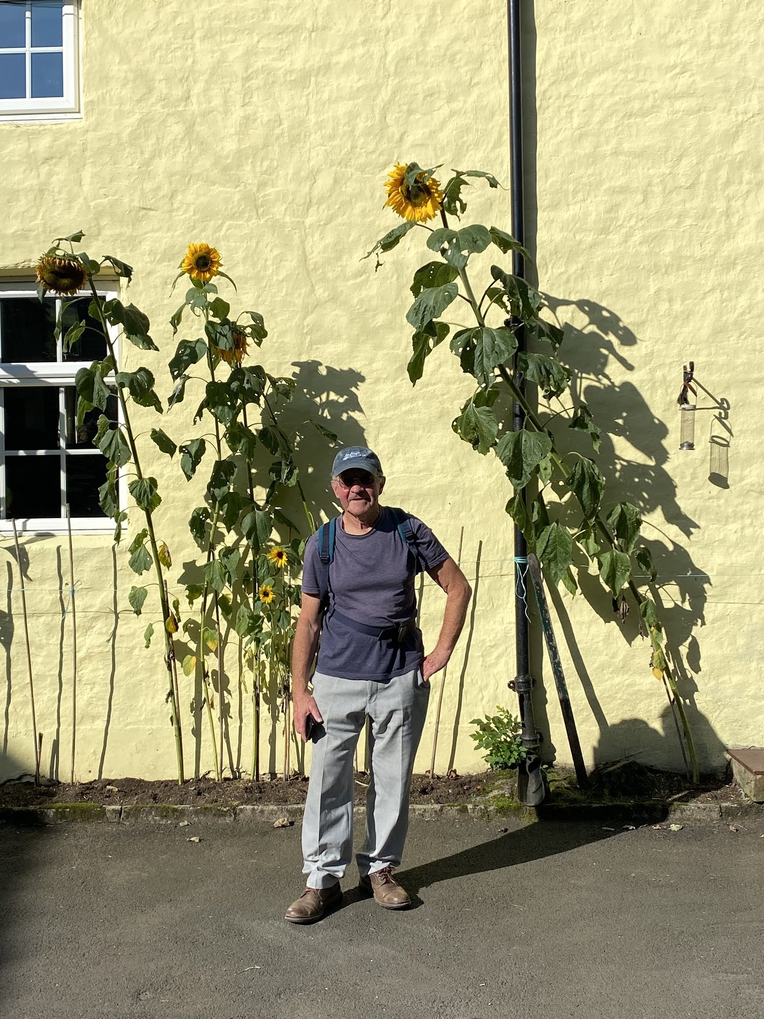
 to the cottages with sunflowers.


Opposite the cottages we took the path to the right, through someone’s drive and a very awkward gate on to the hillside. 


A short steep climb over rough ground, past an abandoned building. Then the path was reasonably clear for a while, but disappeared frequently making walking very tiring through bog grass etc.


Eventually we crossed Isaac’s Tea Trail path, and followed a clearer path to the road, where we met three cyclists doing the C2C.
 

After a coffee we followed the track round the contours to a shooting hut.


then headed up through rough steep ground until eventually we met the ridge


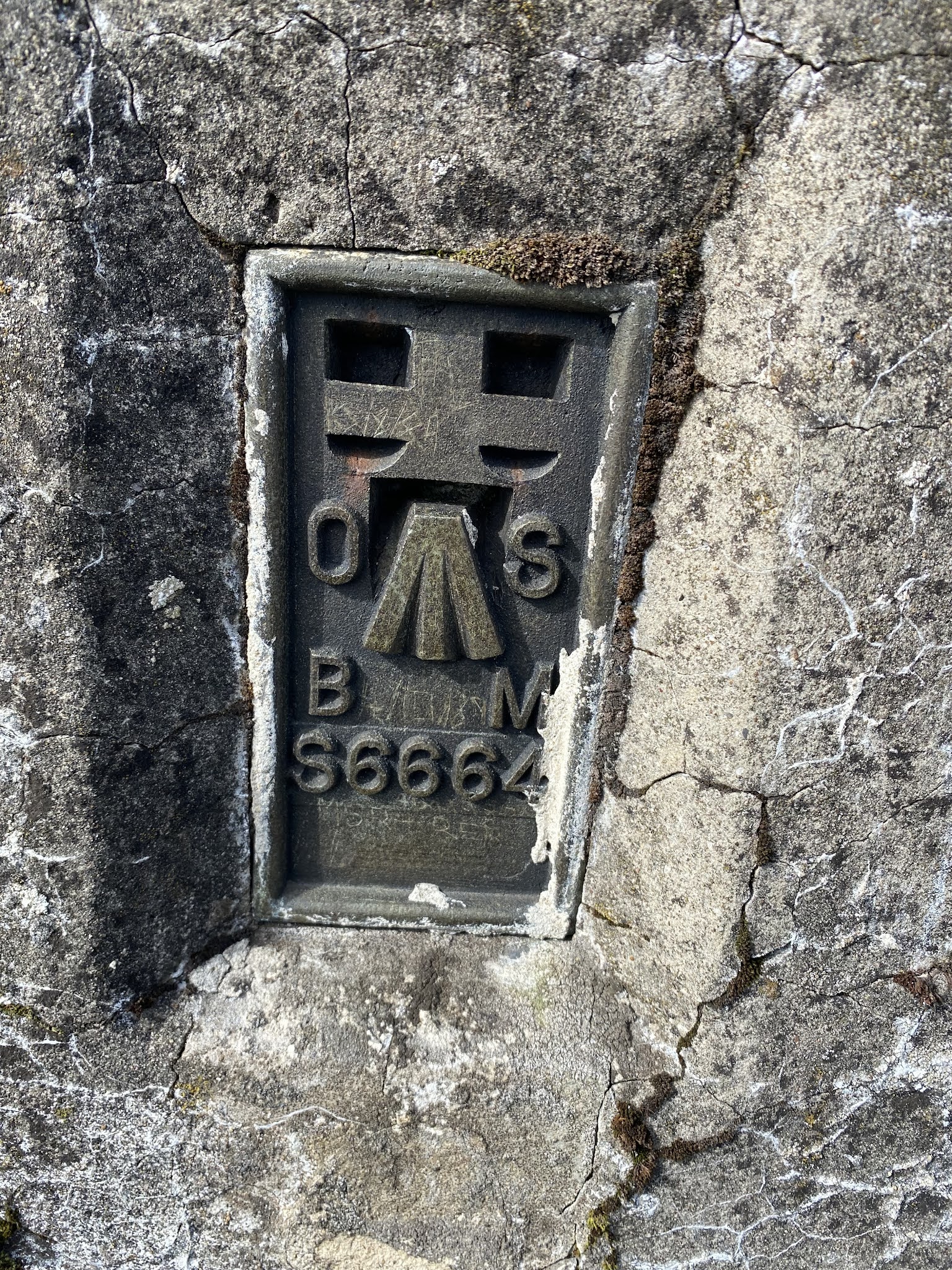
and could see the trig point (673 metres/around 2200 feet) 


and a little further ahead a cairn.


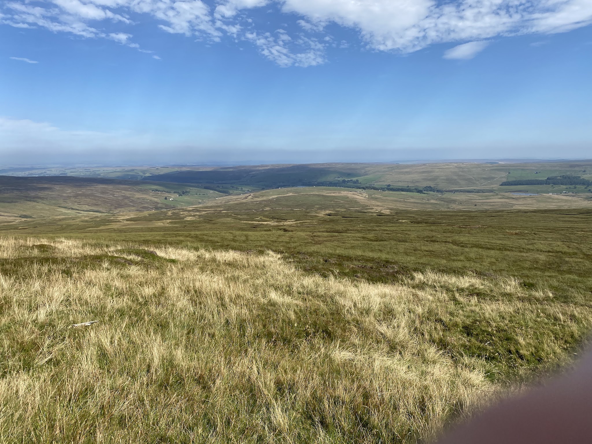
Glorious sunshine so we stopped and took in the view over to Cross Fell, down to Burnhope reservoir and across north to more Northumbrian hills (possibly the Cheviots).


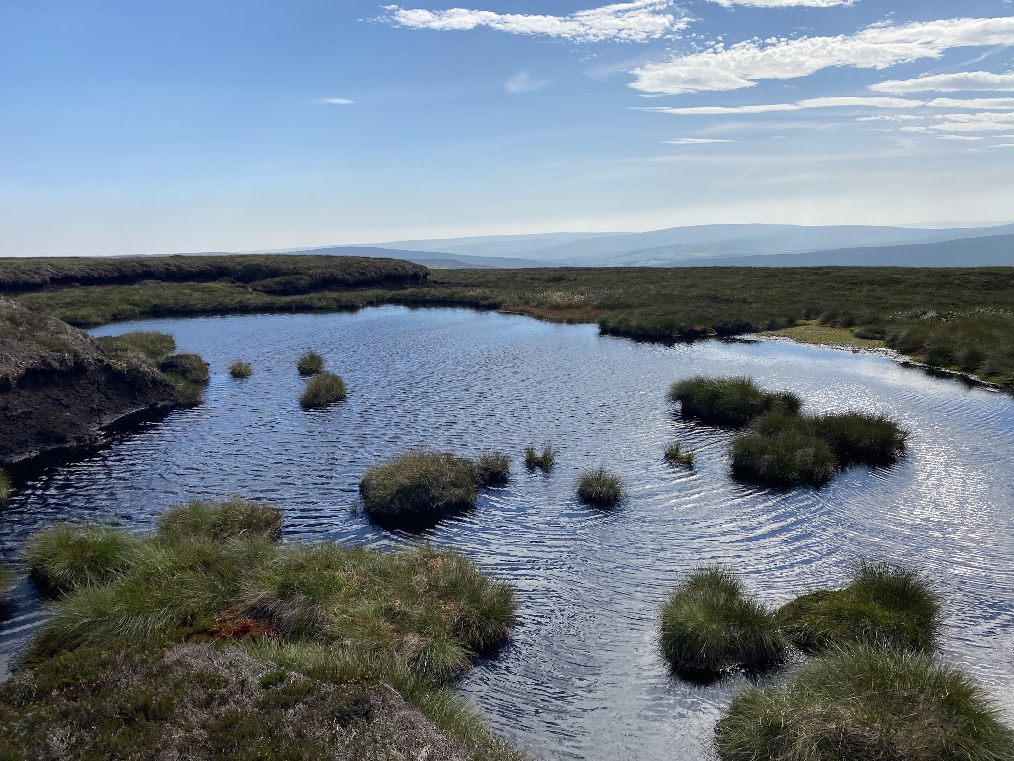
The trek down to the road was even tougher through heather and bog.

Lunch back at the road, and then the hard work done, there simply remained a two and a half mile tramp along the road, mostly downhill, but steep and hard on the feet. Swallows and martins are gathering, ready to migrate south.


The route passed close to a walk we did in May 2019 - from Killhope to Allenheads.

Geddington to Brigstock and back via Clay Dick track

Thursday 02 September 2021 r
Walk from Geddington to Brigstock, 7.4 miles approx. With Marta. Through Geddington Chase, via Community Garden.


On Clay Dick track we met several dog walkers on the way - it’s a very clear route, if a little uneven in places.  


In Brigstock we took the footpath through farm fields and cricket ground, past a vineyard. We talked to a girl about the lambs, living on a farm, the vines etc. She even takes one of the lambs for a walk on Dusthill Road… She recommended “Bake & Brew” cafe in Brigstock. We bought coffee and shared a fruit and almond tart. 


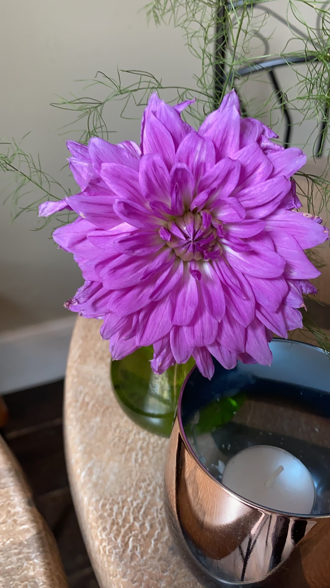
Photos of the flowers for Esther.

Message from Esther that Eve Berridge had spotted me this morning walking through Geddington. 
Then a woman came through to offer us a lift back - her husband had seen us walking earlier. Time to change any plans I had for a career as a spy!! 


A splendid gentle walk and we returned to Geddington.