and occasionally rides a bike.
A word of warning. The walk descriptions are not detailed enough to guide you - please take a map. The batteries never run out, and you always have a signal. Oh, And don't take left or right as gospel!

Friday, November 8, 2019

Catching up with myself. Pitsford water. 3 walks.

This is a walk we fall back on when everywhere underfoot is soggy - the rain has been excessive this autumn. It's also convenient if I have to go via Corby. The Willow cafe at Pitsford/Brixworth Country Park always provides a decent sandwich for lunch. It's just under seven miles depending on the exact route we take.

Monday 7 October with Maureen.

Raining a little as we drove over, but no rain during the walk.

Monday 14 October with Maureen and Eddie.

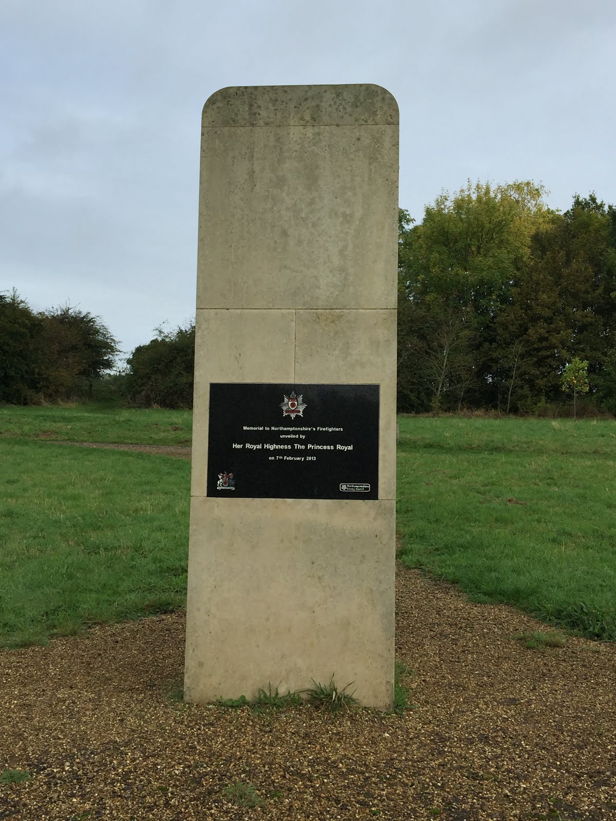
We walked round clockwise for a change, adding little extra at the start to visit a Memorial to Northamptonshire's Firefighters - not that we knew what it was until we got there!


We also passed a poem on wooden slabs and a vineyard.

There was a flock of lapwings along the causeway shoreline.


Wednesday 06 November with Marta.
The same walk as the one on 14 October. No lapwings seen today.
Aerial perspective lighting effect.
Spindle tree in glory
Autumn colours slightly subdued.


Wednesday, October 23, 2019

Apologies -technogrief!

Thank you those people who have posted comments recently. My laptop has given up and I find it much more awkward to post from the iPad or phone. I have been walking quite a lot, and all is well, but another catch up is clearly needed! 

Thursday, October 3, 2019

Goadby, Cranoe, Glooston, Stonton Wyville, Noseley

Thursday 26 September, with Harry and Eddie. A slightly more rolling terrain than of late, but the highest point is no more than 520 feet above sea level. Just over 9 miles. 

We walked out of Goadby along the road to Cranoe and Glooston, turning off to the left just after Pine Tree Stud, and walking along a rougher track going uphill towards Hallaton.

At the high point we turned right along the Midshires Way (and Leicestershire Round) and reached the road a couple of hundred yards outside Cranoe. We turned away from the village and took the quiet road to Glooston.
At the crossroads we went straight on, passing the pub and the church, hidden away among the trees close to the village hall. 

Then it was across the fields to Stonton Wyville.  We missed the turning here, but found our way back on to the minor road. 
Too late with the photo, but this was how we reached the road.
The road becomes a track, then footpath, then bridleway. When we met the bridleway we turned left heading downhill to a stream, then up (over a large and luckily dry, ploughed field) towards the edge of Noseley Wood.


Through some parkland and fields, and along a farm road past Noseley Hall, which is secluded and hidden by trees, and we eventually arrived at The Avenue, the road which goes down gently past the entrance to the hall, then Nether Cottages. We stayed on the road until we came to Goadby Hill, where we turned right and climbed up to the village. We made a small detour to visit the church, one of several in the area with an open bell tower.

An impressive carved chair in Goadby church.

Warkton to Wicksteed

Wednesday 25 September. With Marta. We set off at 1.30 pm, not our usual morning wander. Just under 6.5 miles.

We parked at the layby by the single carriageway bridge in Warkton, and took the footpath immediately on our left. The path hugs the River Ise almost the whole way. 
We kept it on our right and walked through countryside and parkland, close to the Ise Lodge estate. After 2 miles we came to Cheyne Walk, then Eastleigh Road and passed two schools.
We came to the junction of the A6098 and the A6003, and crossed over into Wicksteed Park.  Time for a quick lunch at the Carousel Cafe.

Then a stroll around the park, remembering what an asset it is to Kettering. Free to enter if you don't need to park, although the best rides cost money, of course.
Hello, autumn!


Young cones?


A minotuar with protected modesty

Alas poor minotaur - he will be burnt for Bonfire night!


We followed the same route most of the way back, with a detour to find The Green Patch, a community allotment which has been in operation for 10 years.  We were too late to go in.


A very pleasant walk on the edge of Kettering.

Gretton, Caldecott, Gt Easton, Rockingham.

Monday 23 September. With Maureen, Norma, Marion and Eddie.  8.3 miles.

From Gretton to the weir on the Welland, then across the fields to Caldecott.


From Caldecott we followed the road to Great Easton, turning right just before the village. At his point Eddie rushed off, as he knows the way home quite well!  We followed the path across the river, at a more leisurely pace.

From the river we followed the footpath to Rockingham, crossing the road between Rockingham and Cottingham, and ending up at the (closed-on-a-Monday) tea shop, where we provided our own refreshments!
 We walked up Rockingham hill, through the village, where there were a few unusual ornaments, on roofs or in gardens.

 Then we turned leftt at the old forge, to take the Jurassic Way back to Gretton.


Holcot, Pitsford, Moulton, Boughton church

Thursday 19 September. With Harry and Eddie. 10.8 miles. The same route as yesterday, without the navigational errors, but with the addition of a visit to old St john's church ruins at Boughton. I last visited these ruins in 2014 - five years ago.

Pitsford Water


The Spectacle

The ruins of St John's church

Five years ago there was a lot of ivy on the walls.


Holly Lodge from the footpath

Virginia creeper in Moulton


To visit the church we turned right at the end of Spectacle Lane, and walked along the uneven grass verge beside the road - quite a busy one! In less half a mile, just round a sharp bend before a junction, the church was on our right.


Monday, September 23, 2019

Holcot, Pitsford, Moulton

Wednesday 18 September 2019.  With Marta. 11 miles, including a couple of unintentional detours.

We parked in Holcot, just before the speed limit sign going towards Pitsford Water Causeway. The footpath goes to the left over a stile in the hedge close to the sign.
 It crosses a field, where there were lots of wild flowers.


We continued through another field going slightly downhll, then up again, and through a hedge. On the other side we had a great view of the reservoir.
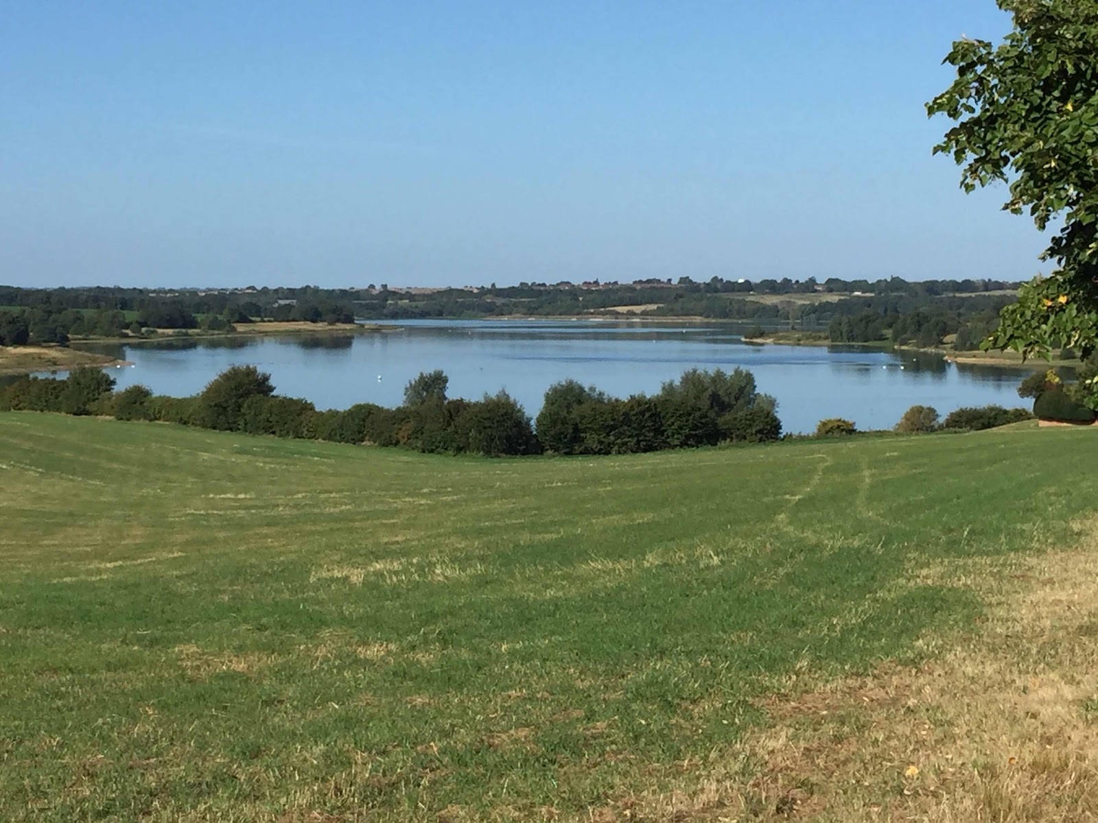

Our path took us past the cricket ground with the memorial dome and seat to Lynn Anthony Wilson, a local business man.


The path crosses the road to the cricket ground and continues along the hedge in the next field. After a short distance a footpath sign directs us through the hedge and across a recently harvested field - luckily for us the weather has been dry!


We continue until we reach a wide grassy section. here the footpath turns left and uphill for a short stretch before turning right and carrying on roughly south west above Moulton Grange Farm.
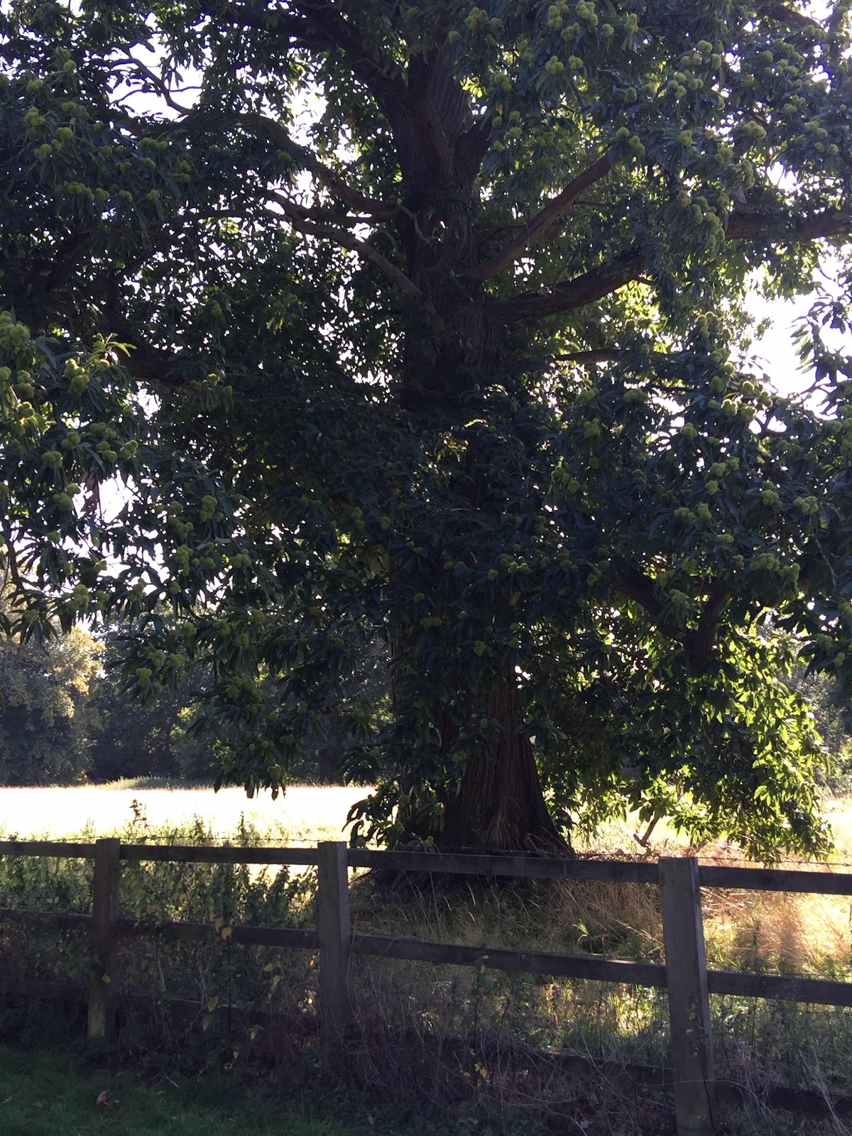
Sweet chestnut tree...

 The path does not go down to the farm, but goes straight ahead through some trees. It's quite narrow and not way-marked - easy to miss from this direction.  It goes past Grange cottages and the entrance to Moulton Grange, and joins the track around Pitsford Water for a short section. Seemed a good place for a break!
We followed the road past Grange Road Car Park and on into the village of Pitsford. We turned left at the village green, and went past the primary school. There's a very short section of road with no footpath, and before the independent school we take a left hand fork and quickly meet the footpath we want. It is fenced on both sides for a short distance, and we come to an open field, just past someone's observatory.


We carried straight on to the end of the hedge and turned right. We kept the hedge on our right, turning left and walking alonside a couple of fields. At the end there are way markers for two directions. We turn left between a hedge and a fence, and then turn right, eventually passing a stud farm and reaching Pitsford Road. We cross over to Spectacle Lane - someone must have taken a fancy to the sign here, as it has gone!
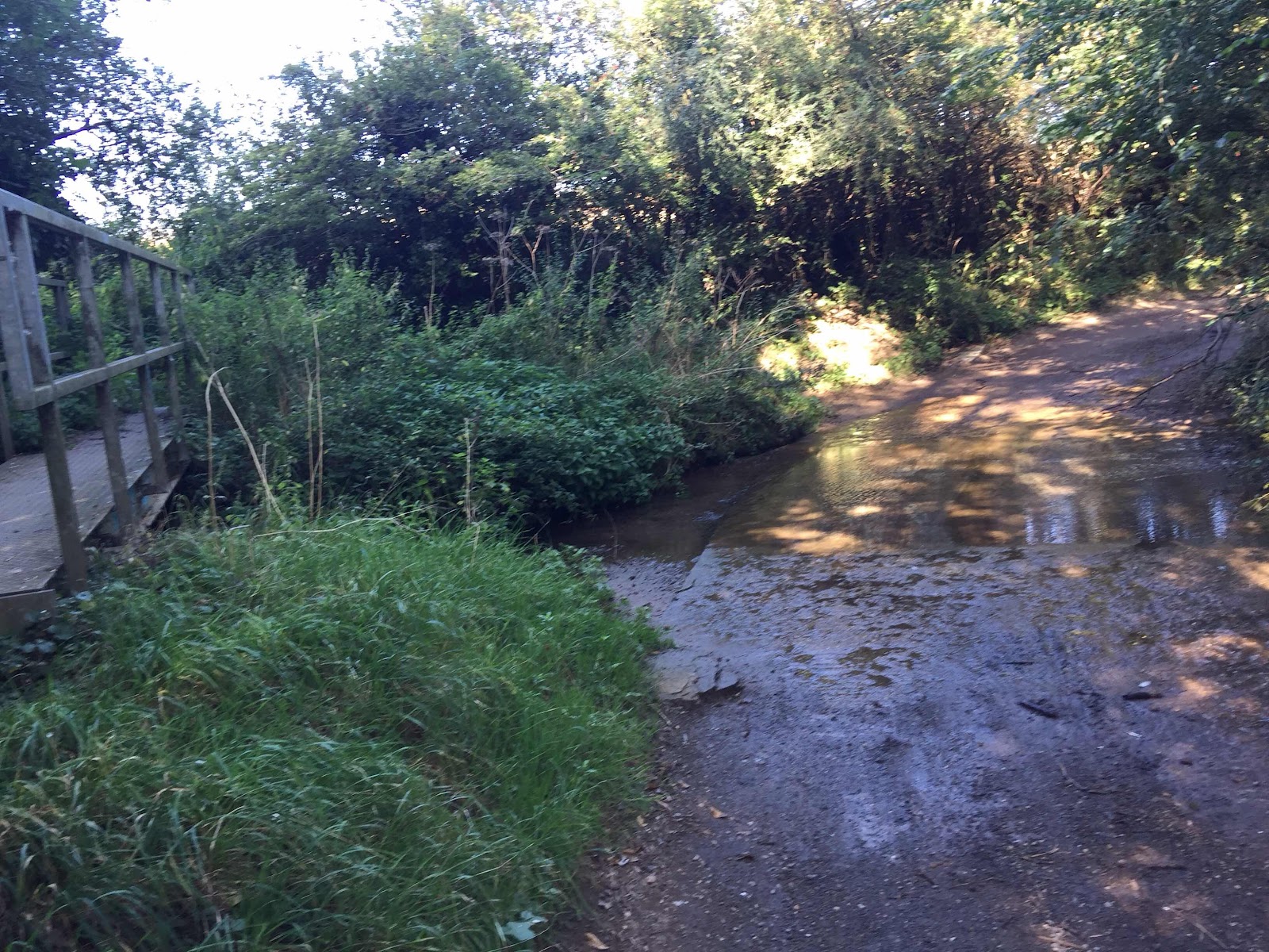
After a stretch walking slightly downhill we cross the ford.

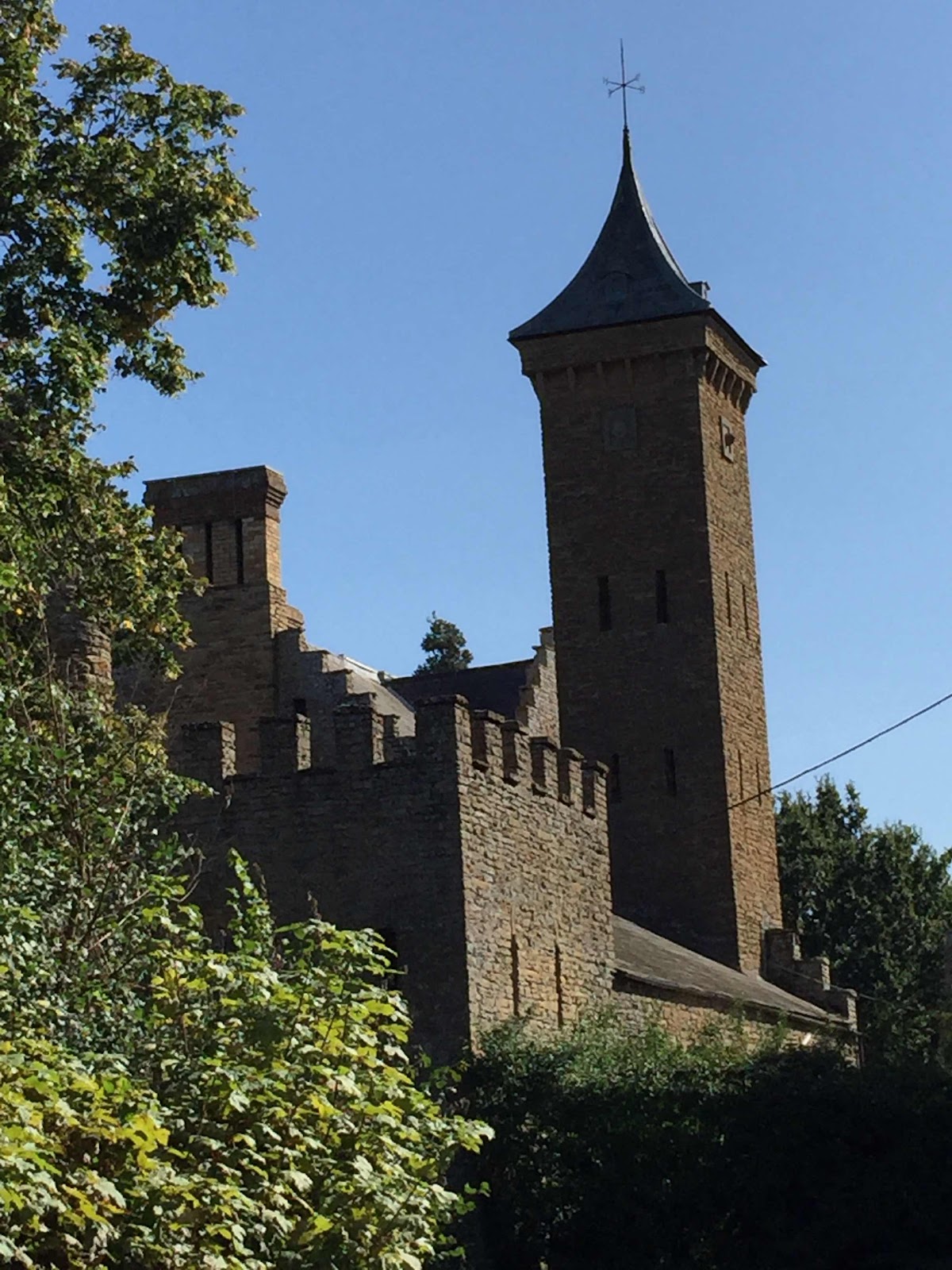
Then we pass the Spectacle - this folly.


A little further ahead is Holly Lodge, the fine residence of the Jeyes family.

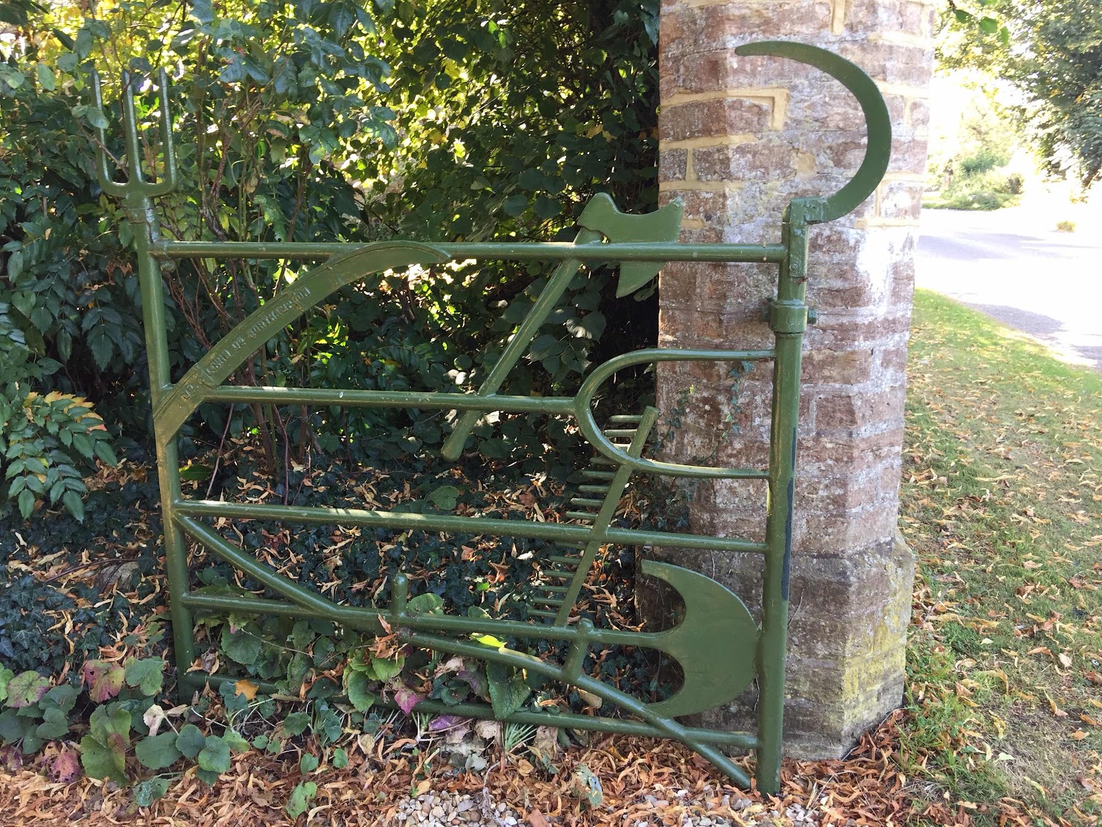
with the gates designed by Philadelphus Jeyes in 1861.They include replicas of 2 hay forks, 2 sickles, a scythe, a rake, a shepherd's crook, a ditch cutter, a stable fork, a flail, a spade and a woodman's axe.


From here we turned left and followed the road into Moulton.


The JGallery coffee shop was an excellent stop for a coffee and sandwich before the last leg of the walk, from Moulton, along the Overstone Road to a footpath off to the left. The path is clear enough, with one fairly long stubbly field to cross, then it's follow the path to Overstone Grange, which we passed on the left hand side, near some PYO signs. At Rectory Farm the path turns a right angle to the left, and heads more or less north west back to Holcot. We pass the war memorial and turn left and back to the car.