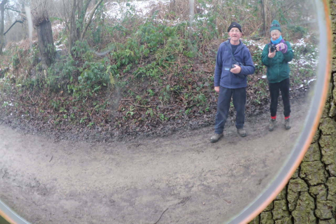
and occasionally rides a bike.
A word of warning. The walk descriptions are not detailed enough to guide you - please take a map. The batteries never run out, and you always have a signal. Oh, And don't take left or right as gospel!

Friday, February 12, 2016

Gumley, Foxton Locks - Laughton


Thu, 11 Feb 2016 10:00 GMT
Led by Tommy. With Gordon, Maureen and me. 6.5 miles. Fields quite soggy.

Lovely day, but hard walking through soggy fields. Tommy diverted the route since some fields were waterlogged even on high ground.
We walked up Main St and took the path to the left of the church, then across the field to Debdale Lane.
The path by Gumley church
On the other side we continued over three fields before turning sharply to the right, and following field edges east, then south, then east to cross Gumley Rd ( which is the continuation of Debdale Lane). 
An unusual style of stile
The path headed south east, then south, and crossed the canal via a footbridge.
Over the canal
We followed the canal as far as Foxton Locks.
By Foxton Locks
At the bottom lock we turned right, leaving the canal, over fields, then across Foxton Rad and Bunkers Hill.
Enjoying the sunshine
We walked along the road heading toward Laughton, and took a break a short distance before the village.
A sheltered spot for a break
Then we crossed the road for a few more fields - mostly downhill, about a mile into Gumley
More animals enjoying the sun

And back to the Bell for lunch

Map and details
Tuesday, January 19, 2016

Titchmarsh Lake, Thrapston

Tue, 2016 Jan 19 10:07 AM GMT
With Marta, fine and dry. very cold but no wind. Decent underfoot though some mud where the ground had thawed. We did an extra three miles at the start, before I switched the machine on to track the walk. Starting time is accurate.
Total around 7 miles.


Remarkable sky even around midday


Two of the many swans on the lakes


Can this be right?


This heron was still for so long that I was convinced it was not real . . .

. . . then it moved


Map and details of the second part of the walk. The first three miles were round the lake immediately to the right of our starting point!

Monday, January 18, 2016

Thrapston to Stanwick Lakes

Mon, 2016 Jan 18 9:21 AM GMT
With Maureen and Gordon. Fine, occasional sun, dry - some puddles still frozen. Along railway track - very flat - muddy in places. 11.25 miles in all - I thought it would be nearer 8!
Nine Arches Bridge


Under the A14

Lone moorhen


We chose to take the slightly longer path - adding half a mile to the walk.
Almost at the visitor centre - after nearly six miles we're ready for a hot drink

Marina near Woodford 


Figure in a landscape
The path was good apart from the sections from Nine Arches Bridge to the railway track, where there was some mud and a few wet patches.


Map and details

Sunday, January 17, 2016

Rutland Water - 2 weekend wanders

Saturday 16 January
From Normanton car park to Sykes Lane and back - around 5 miles.


Sunday 17 January Hambleton peninsula circuit - just under 6 miles
Lapwings on snowy field

Brrr!


Brrr!

Coots and tufted ducks

White-bottomed goose (!)


Selfie!


The church across the water

Friday, January 15, 2016

Thrapston

A 2 mile recce to check the condition of the path between the Nine Arches Bridge and the disused railway leading to Stanwick. Or  - any excuse for a short walk on such a beautiful winter day. I was snap-happy today.

The path was a little squelchy in places, with the occasional icy puddle, but passable.


Onward

Crescent moon

Frosted grass in a shady patch even at midday

Blue sky and sunshine

Old railway bridge

Ice on the puddle

Bulrushes

Teasels - they attract goldfinches


The A14


Nine Arches bridge
A bridge was mentioned here in 1310. In 1663 there was a bridge with 24 arches. The bridge was rebuilt in 1795, and repaired in 1841.

Islip church
There was plenty of bird life - goldfinches, sparrows, crows - swans on the lake. So good to see the sky!