and occasionally rides a bike.
A word of warning. The walk descriptions are not detailed enough to guide you - please take a map. The batteries never run out, and you always have a signal. Oh, And don't take left or right as gospel!
Wednesday, September 2, 2015
Warkton, Grafton Underwood and Cranford
Thu, 2015 Aug 27 9:35 AM BST
With Maureen. Long break at Grafton, then coffee stop at Cranford. Arrived at the car just as the rain started to come down heavily! Seven and a half miles or so.
From Warkton, opposite road junction between cottages, and across the lime tree avenue, as on this walk of August 18th. The route is the same as far as Grafton Underwood, and it helped to have walked it before.
From Grafton we took the road to Cranford, and made use of the Old Forge for a coffee - three times in two weeks, I think.
From Cranford we walked out along Top Dysons, following the bridleway until just before the Grange. Here we turned right, roughly northeast, and continued for about a mile in this direction. At a point where there is a concrete post we turned left, heading slightly north of west, crossing a section of lime tree avenue again, until we met the road on a bend. A left turn and some traffic dodging on to the verge took us back into Warkton.
I'd just unlocked the car when the heavens opened.
Warkton and Cranford
Tuesday 25th August 2015
Tue, 2015 Aug 25 9:41 AM BST
With Marta. Fine and dry. Rain to come? About 6 miles in all.
![]() |
| Coming out of Cranford after Top Dysons |
![]() |
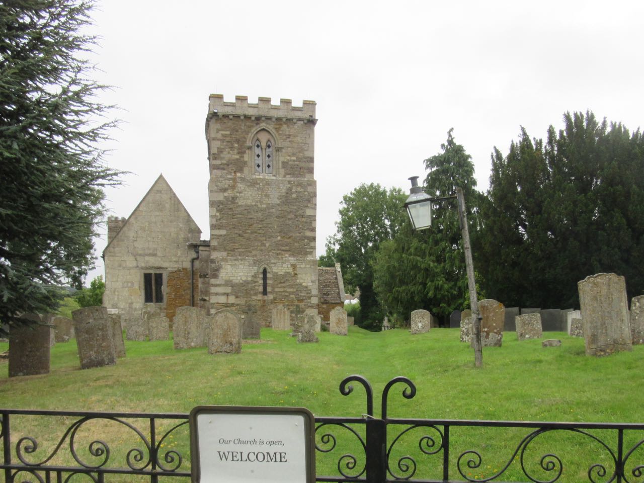
| Warkton church - there's a lot of smoke around! |
![]() |
| Looking over to Warkton village. |
Monday, August 24, 2015
East Carlton, Wilbarston, Pipewell airfield
Friday, August 21, 2015
Rockingham to Gretton and Sondes Arms
Thu, 2015 Aug 20 9:05 AM BST
With Maureen, Gordon, Barry and Harry. Wet grass, but not muddy. Cloudy and quite muggy. Lunch at Sondes Arms. On computer distance is given as 6.6 miles.
A short walk and a birthday meal for Gordon and Barry.
![]() |
| Tiny jay feather |
![]() |
| Ripening sloes |
![]() |
| Away we go |
![]() |
| A merry crew |
![]() |
| She calls the cows home |
![]() |
| All eaten up and ready to go |
Tuesday, August 18, 2015
Warkton, Grafton Underwood, Cranford St Andrew
Mon, 2015 Aug 17 9:22 AM BST
With Gordon. Weather fine and dry, some sun. Mostly good paths, a few ploughed fields, but dry. Just under 10 miles. Fairly flat.
I was looking for a walk nearby that would cover some new ground. Warkton and Grafton Underwood fit the bill. Why haven't we walked there? The walk is on the edge of the Explorer Map, and needs some folding and unfolding. So I packed the Landranger map as well.
It was tempting to follow the line of trees, but a map-check showed that we cross them to the left diagonally. We found our route waymarked, over a stile and alongside a field, then across a private estate road. Cows in the next field came to see us through the gate at the end.
The next section involved keeping the same direction across a couple of ploughed fields with no clear path yet, and then by the left hand side of a small wooded area and another couple of ploughed fields. It's that time of year, and luckily the ground was dry.
Some of the signage leaves a bit to be desired.
We continued along paths which led into Grafton Underwood, through a field with horses, and one sheep which saw us and ran towards us - we thought it was a pet until it headbutted its way through the broken dog gate at the stile and went to join its fellows in a paddock close to the houses.
Some of the signage leaves a bit to be desired.
![]() |
| So we are on right path? |
![]() |
| Oh yes! |
Grafton Underwood is an attractive village, with the stream running beside the road, and, early as it was, the bench by the bridge was not to be resisted.
Ducks and a cat watched us without pestering.
It was agreeable walking through the village, next to the brook.
Ducks and a cat watched us without pestering.
It was agreeable walking through the village, next to the brook.
The next section involved a bit of road walking, south to the crossroads, then left as far as the first footpath sign on the right. The path runs more or less south along field edges, then swings right (west) to meet the road. A little tricky to be sure you're on the right track here, but we were close to the pathline.
We turned left for another section on the road into Grafton Underwood, where we were ambushed by the Old Forge café.
Opposite the café is a road called Top Dysons. This is our route and leads to a bridleway, good and clear. We turned right to head north just before Grange Farm, but there are several footpaths and bridleways around here.
We continued slightly east of north as far as the road between Grafton and Warkton. After a mile of dodging the cars - just a few too many to make it pleasant, we arrived at the estate road, and rejoined the path we started on, crossing the lime tree avenue once more.
This was a much pleasanter way back into Warkton.
![]() |
| Lime Tree Avenue with sheep |
Garmin machine says 10.2 miles, but when I synched it with the computer programme the distance given is 9.7.
Thursday, August 13, 2015
Manton, Brooke, Egleton circular
Thu, 2015 Aug 13 9:10 AM BST
With Gordon. Grey day, but dry. Good views as usual. Around 8.9 miles.
We set off from Manton, and took the footpath to the west (left) opposite the Horse and Jockey. Way marking at the end of the field not perfect, so we ended up walking through some nettles, and climbing a wire fence on to the verge of the A6003, slightly south of where we should have been. We picked up the path across the road, and followed it through a couple of fields, past a farm. When we arrived at a freshly harvested and ploughed field we took the path of least resistance and followed the field edge uphill to join the bridleway, which is a much easier route to follow.
Martinsthorpe Old Hall Farm, which is surrounded by fencing, and being worked on, is a landmark to keep us on track. It is the only conspicuous surviving trace of a seventeenth century country house and the site of an earlier medieval village.
The views on both sides from the ridge are good, but not very photogenic on a grey day. The path becomes a track, just after Old Hall Farm, then a road past America Lodge, to a crossroads. Here we continue straight ahead towards Braunstone. The road is flat for a distance, then loses height. In the valley the Leighfield Way path turns off to the right, and we take this path, past animals we must not feed, but which seem friendly and interested in us as we pass by.
We follow the path between hedges then over a stile and a footbridge and along the edge of a field, coming to the road near Brooke Priory and Dovecot. We turn right and walk uphill to the present day village. There are lots of humps and bumps in the ground - earthworks on the map.
A bench on the green in front of Brooke church is handy for a break. We take the road to the left of the church, past Bridge Farm, and Hillside Cottage, which is still derelict, and uphill following the Macmillan Way. At a junction we take the right hand fork past Brooke Covert East, and gradually downhill with views of Oakham to the north and Rutland Water to the East.
We cross the railway line and follow Hambleton Road to Egleton, then the cycle track all the way back to Manton.
Not a drop of rain fell while we were out.
Map and details
Subscribe to:
Posts (Atom)